in a sub-alpine meadow near Butte, Montana where I spent the night on Homestake Pass. The air and sky were clear, the stars were brilliant, and it got wonderfully chilly.
Prairie dogs (genus Cynomys).
in a sub-alpine meadow near Butte, Montana where I spent the night on Homestake Pass. The air and sky were clear, the stars were brilliant, and it got wonderfully chilly.
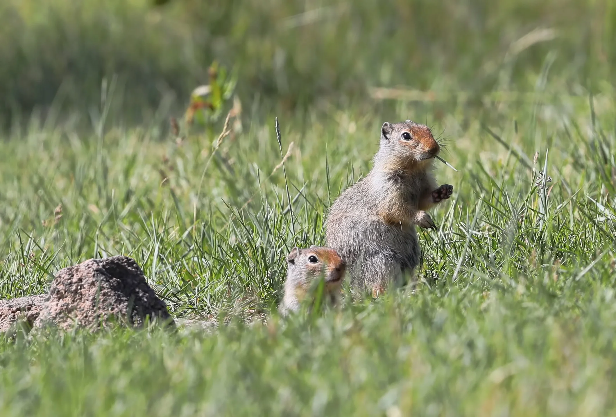
Prairie dogs (genus Cynomys).
from pluvial Lake Bonneville occurred through this gap in southeastern Idaho known as Red Rock Pass. The volume of the great gush is estimated at five thousand cubic kilometers (1,200 cubic miles!) of water, released about 14,000 years ago in a catastrophic megaflood that likely lasted weeks to months and scoured the Snake River Plain in Idaho downstream from this site.
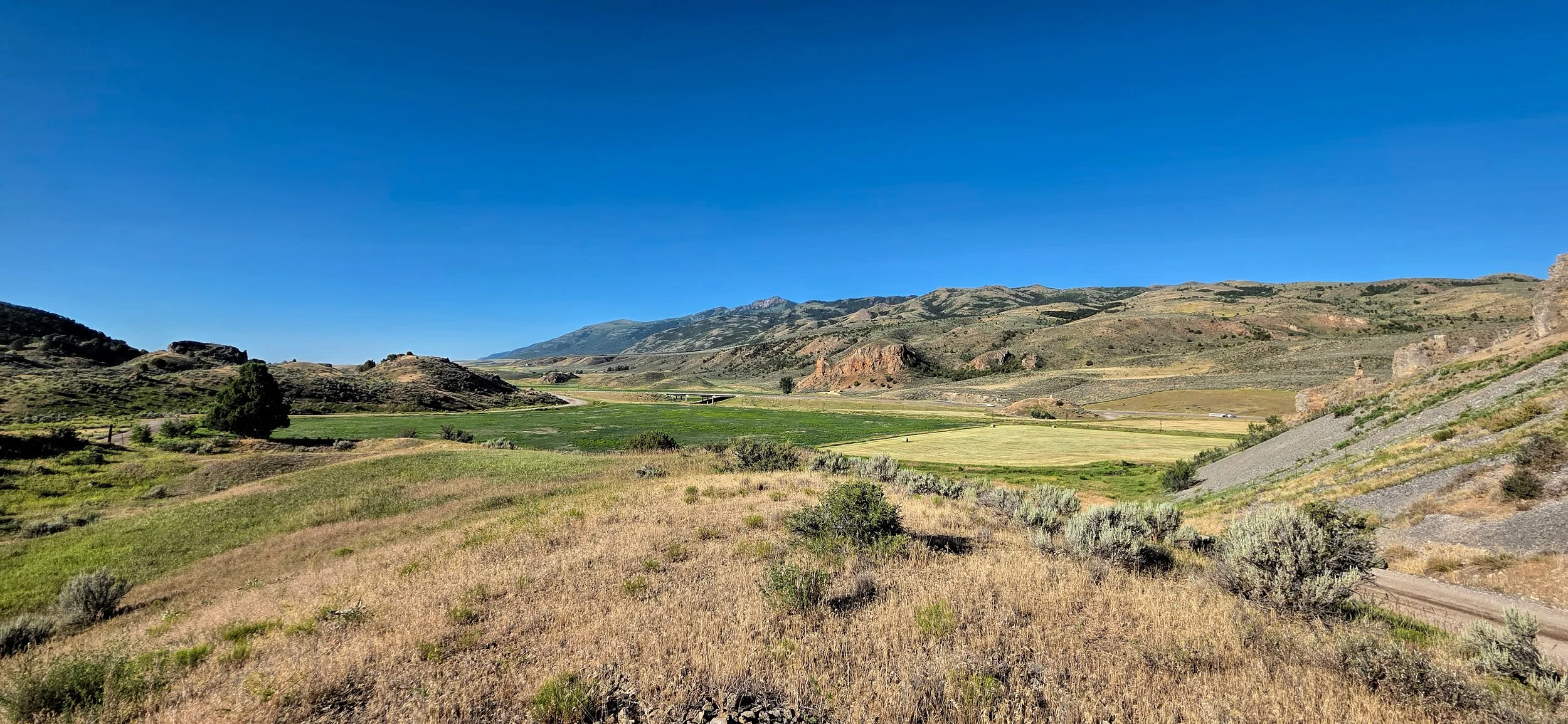
Red Rock Pass, a few miles south of Downey, Idaho on US 91. View is to the south, or upstream during the big spill. The vast expanse of Lake Bonneville would have existed on the far side of the skyline ridge, reaching across a third of Utah. Once the rising lake water began spilling across this low point along its shoreline and into the adjacent valley, a great unraveling was unleashed. The unconsolidated surficial alluvium and the underlying sedimentary rocks forming the bedrock sill rapidly eroded, much as a dam collapses when overtopped.
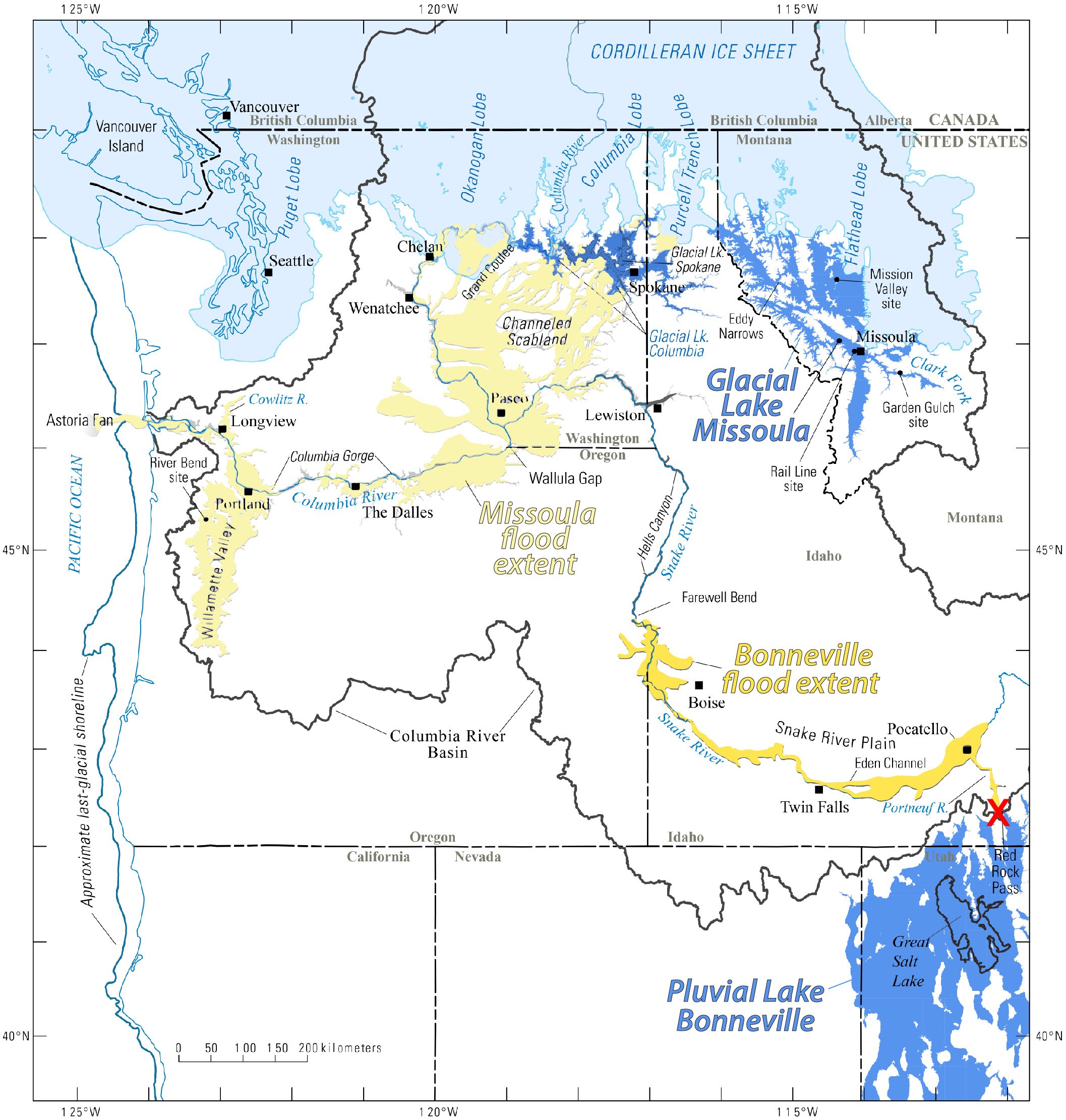
Red X marks the spot (near lower right) of Red Rock Pass, the spillover point for Lake Bonneville. The torrent of floodwater exiting the basin through the gap lowered the overall lake level approximately 105 m (350 feet). Map from Idaho State University.
More here about this tremendous flood from the Idaho State University: Lake Bonneville flood.
to escape the heat and smoke. Time to migrate to greener country. All packed and ready to rock.
pass across Porcupine Rim this evening, and, unfortunately, nary a drop of rain fell in the valley. But fortunately there weren’t any lightning strikes. Here’s one storm cell, backlit by the setting Sun at dusk.
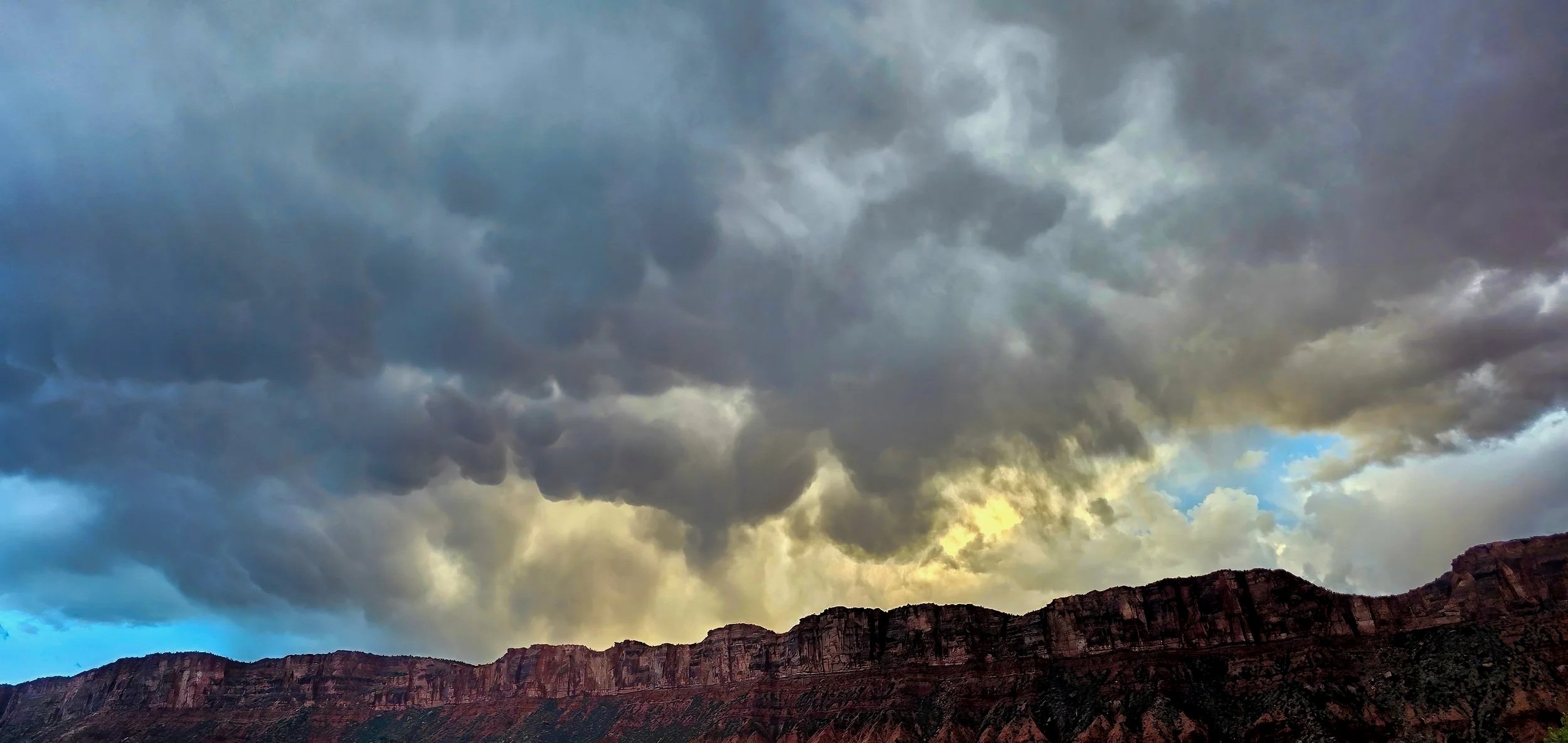
continues to indicate the compromised air quality that persists at night due to suspended fire smoke throughout southeastern Utah.
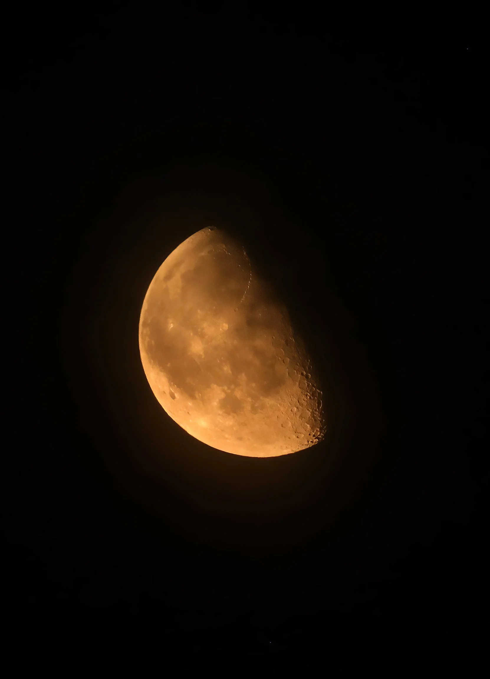
Not Mars! Waning gibbous Moon captured shortly after midnight during “moderate” air quality.
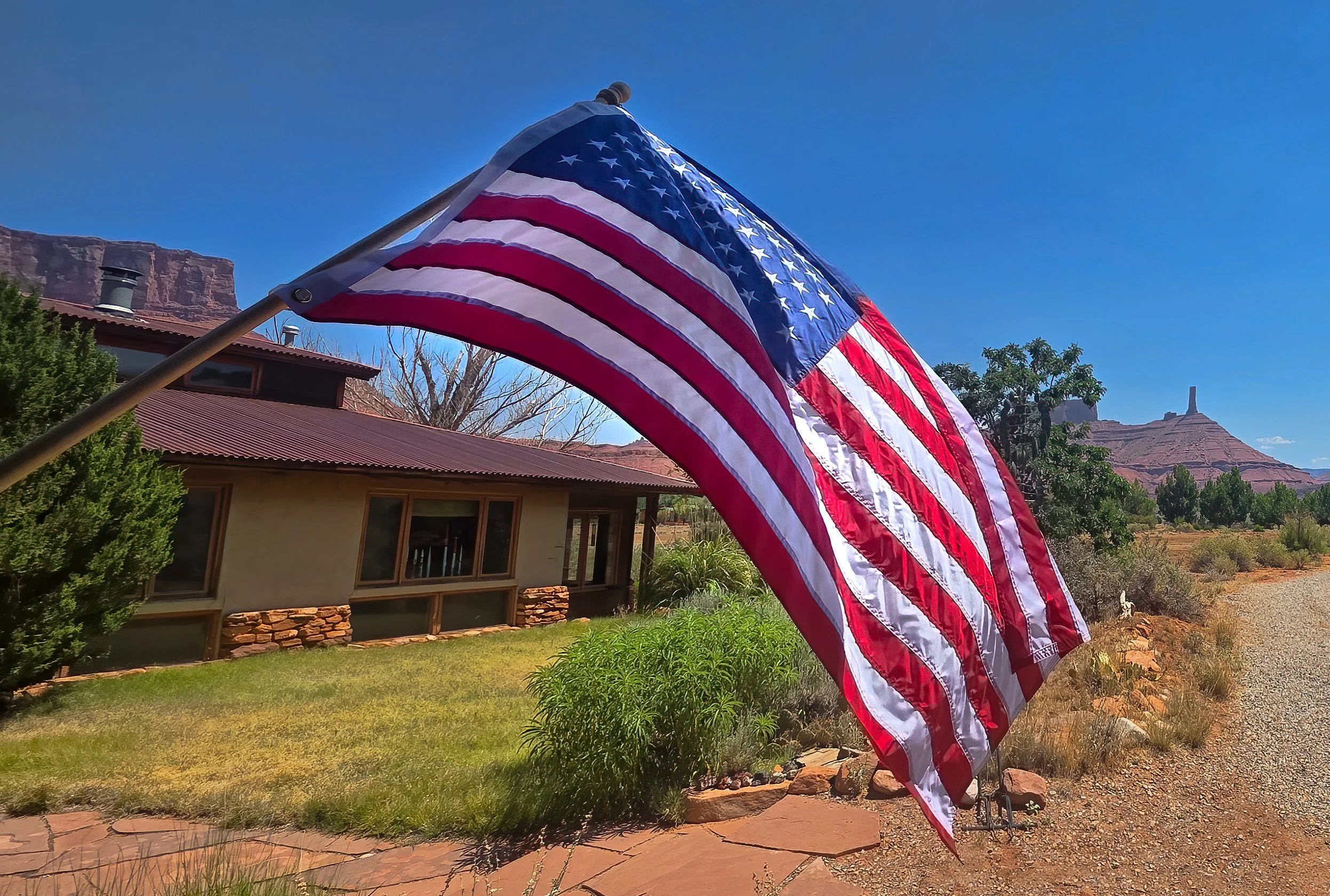
as Castle Valley celebrates the semiquincentennial anniversary of the founding of our great nation on this Independence Day. Community tradition has the volunteer members of the Castle Valley Fire Department hosting a breakfast and parade, seen here featuring Engine 37 leading the way.
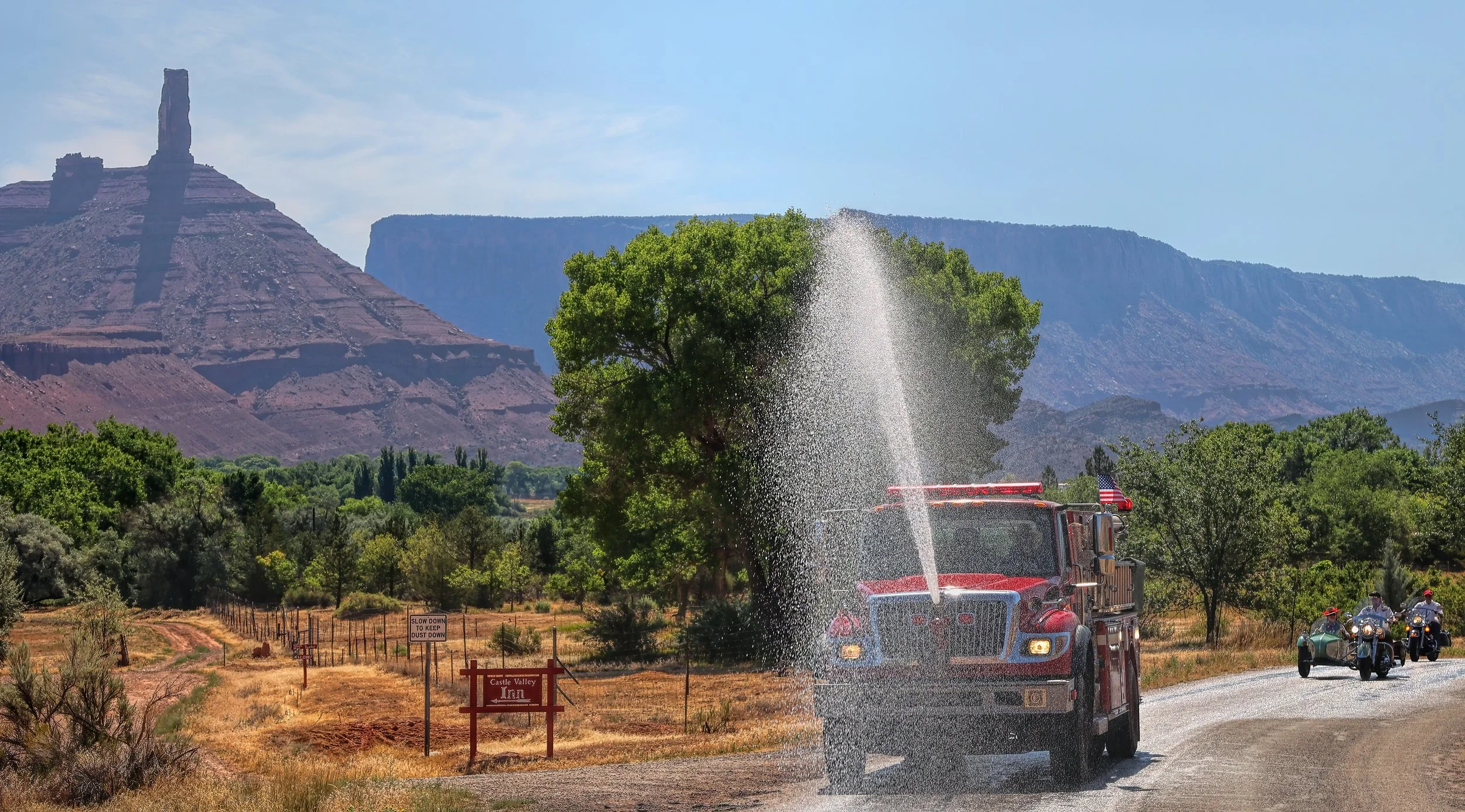
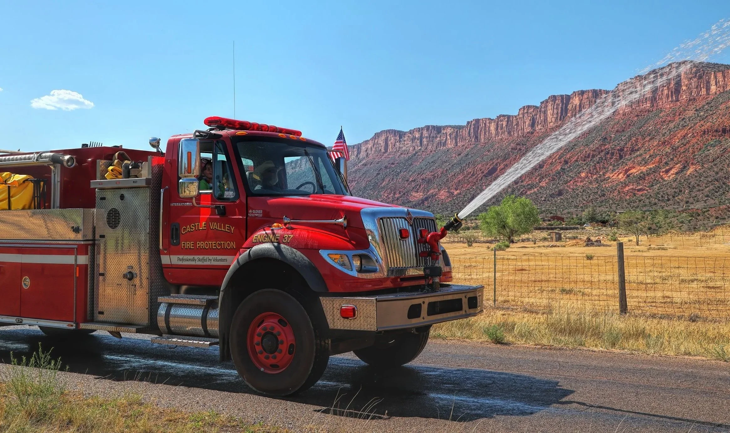
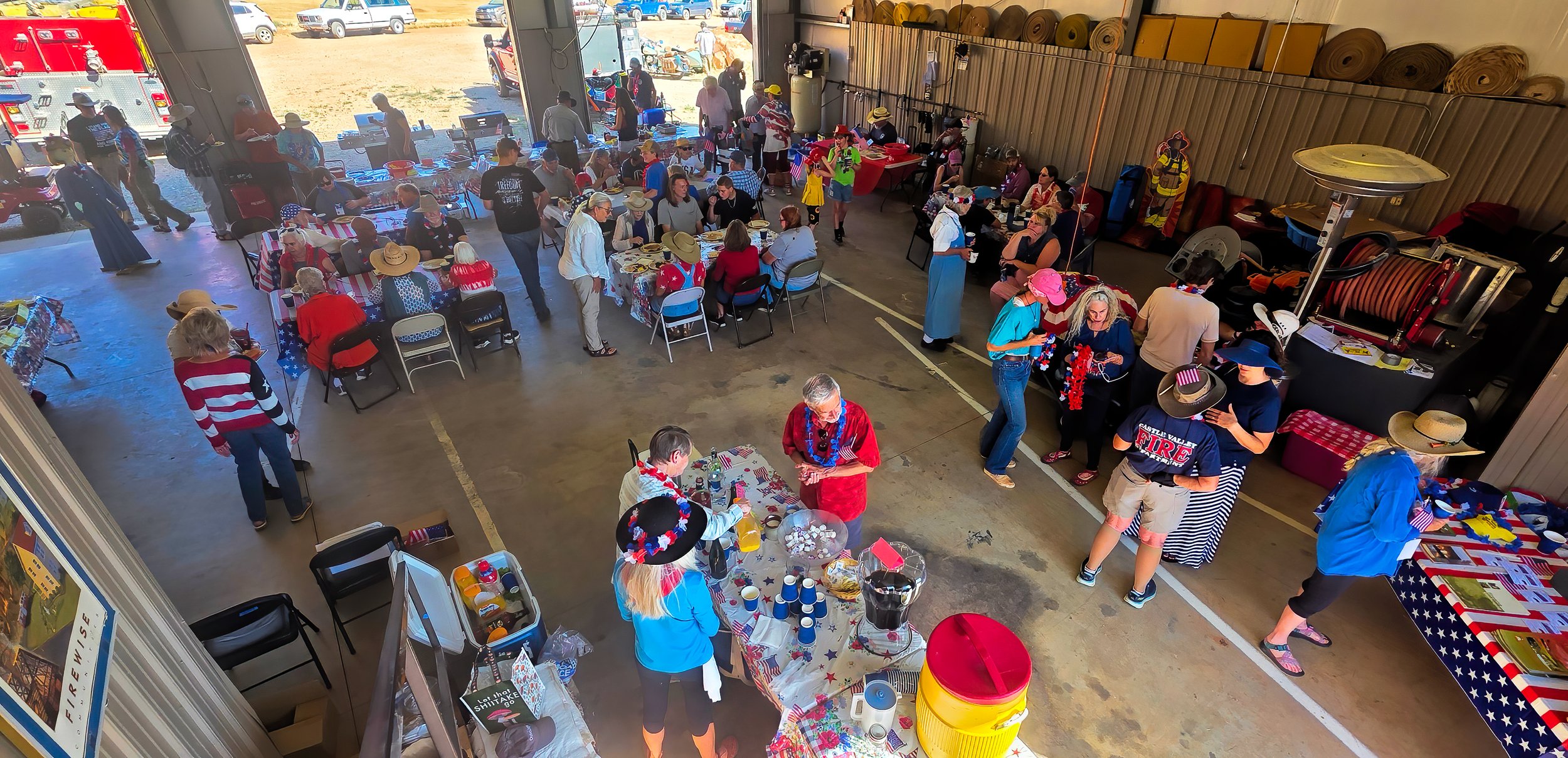
Cherry on top: Air quality this morning is the best since the summer solstice.
Read the Declaration of Independence.
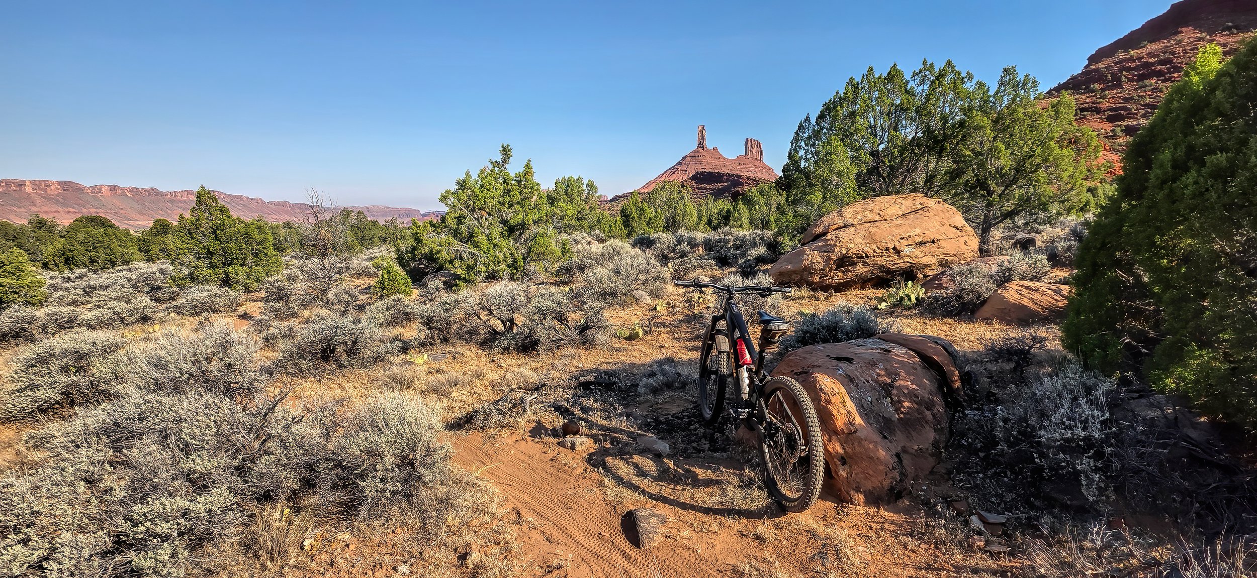
allows for an 18 mile (29 km) ride this morning. Oh, the joy!
AFTERNOON: Unfortunately, that didn’t last long. By noon the air quality is deteriorating as the winds pick up and smoke density increases again.
according to Smokey the Bear standing watch at the entrance to our community. The fire smoke in the air was so dense yesterday afternoon that if - goodness forbid - a fire had occurred in the valley, we’d have been largely unaware. Let’s be extra vigilant, folks!
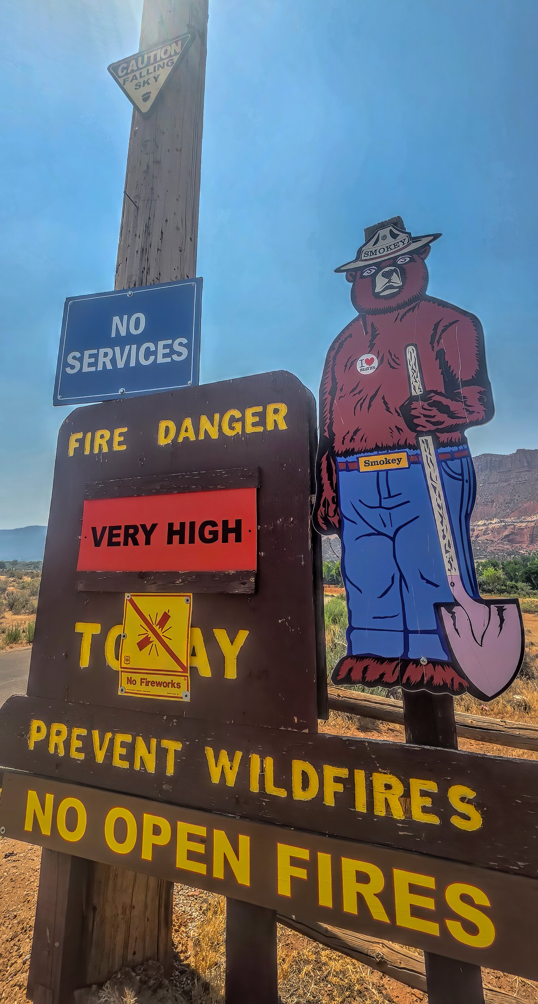
No fireworks! And apparently Smokey still loves beaver, too.
drinking from the irrigation emitter that refills the bird bath.
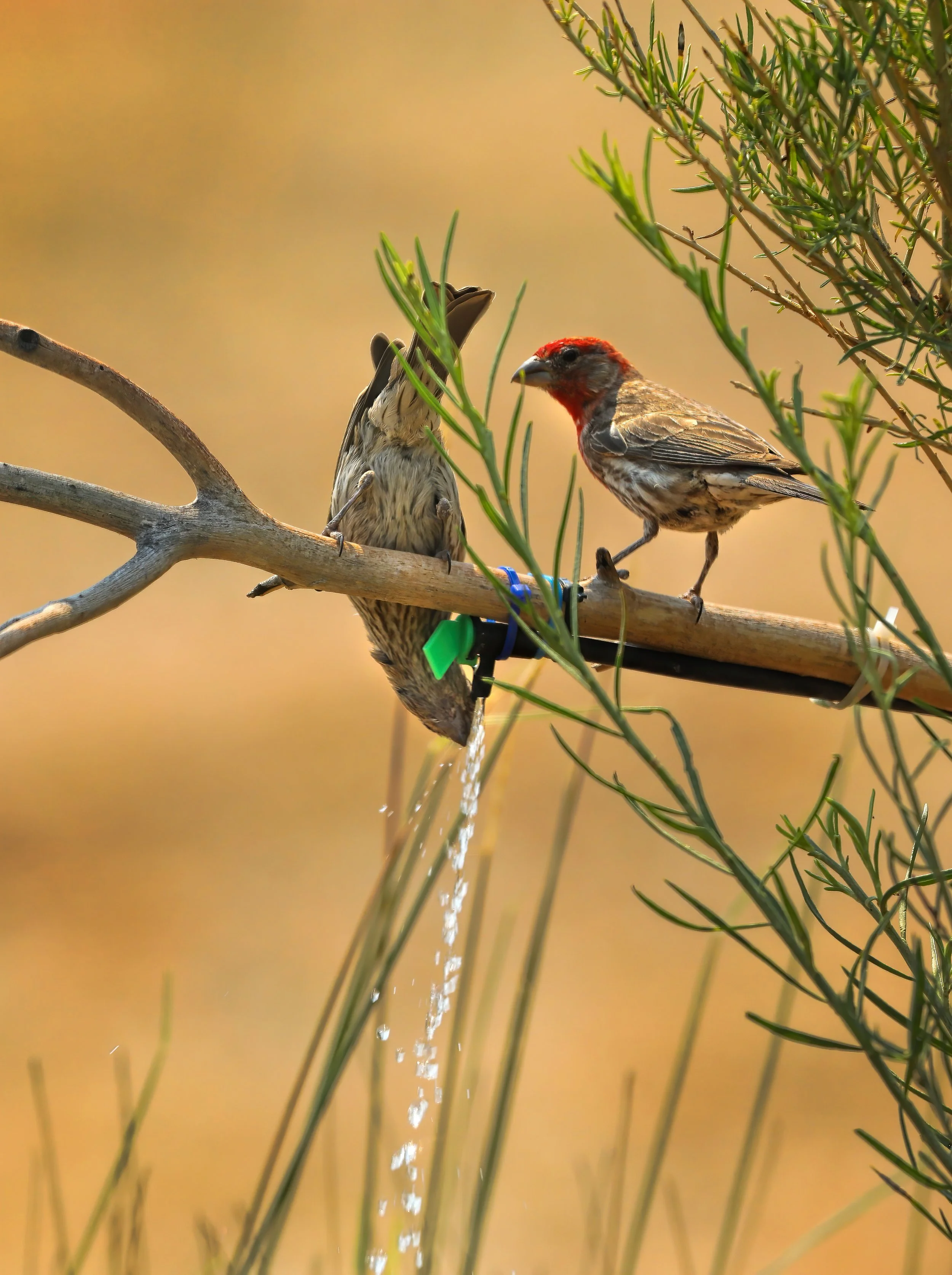
House Finch (Haemorhous mexicanus).
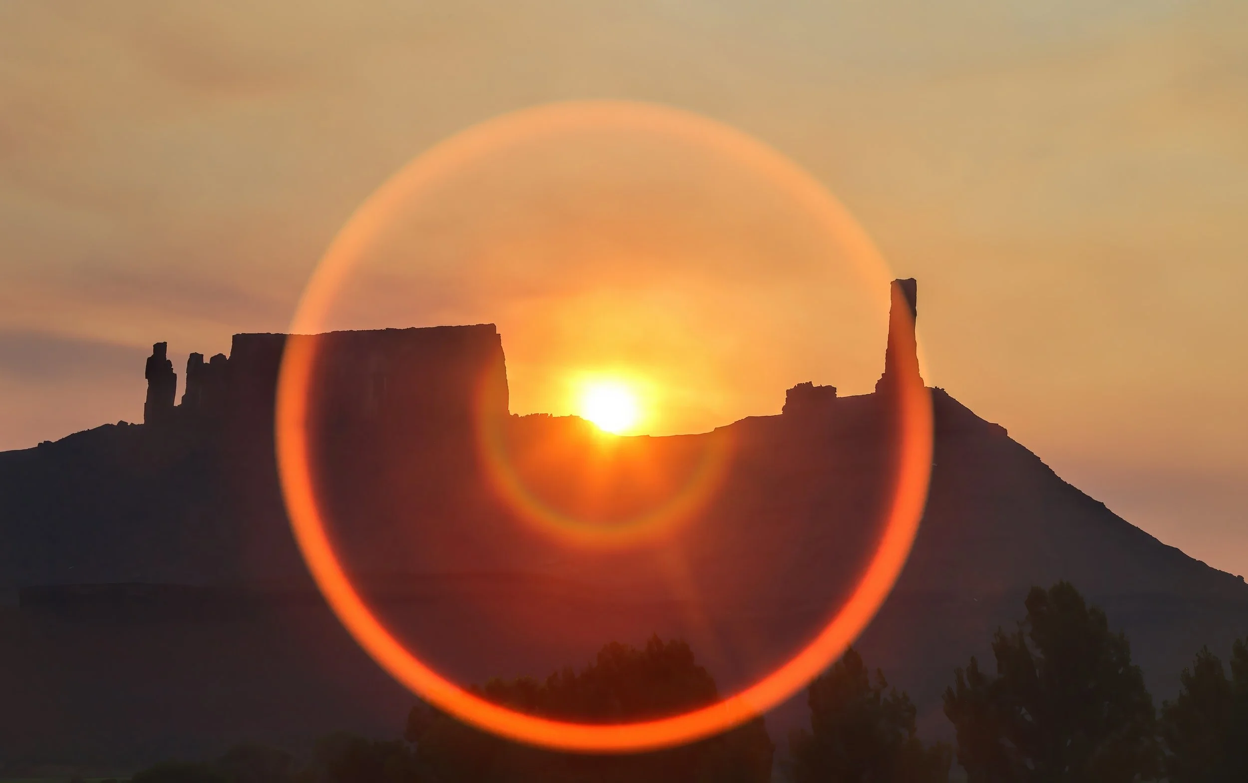
greets the dawn, the result of raging wildfires across the region. Air quality is unhealthy and getting worse.
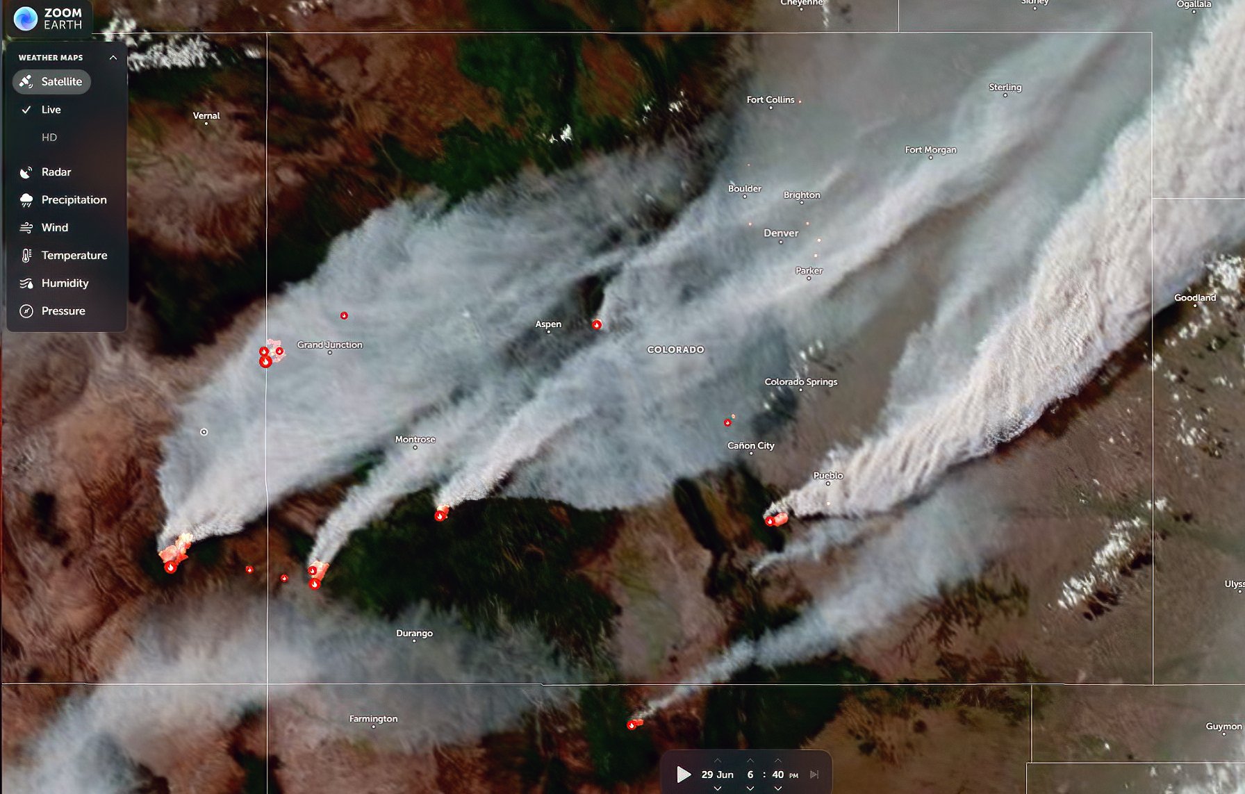
Last night’s satellite image captured early in the evening showing fire smoke plumes and heat sources in southeastern Utah and Colorado.
MID-DAY UPDATE: Air quality continues to deteriorate throughout the day. Here are a couple of views around 1:00 pm MDT.
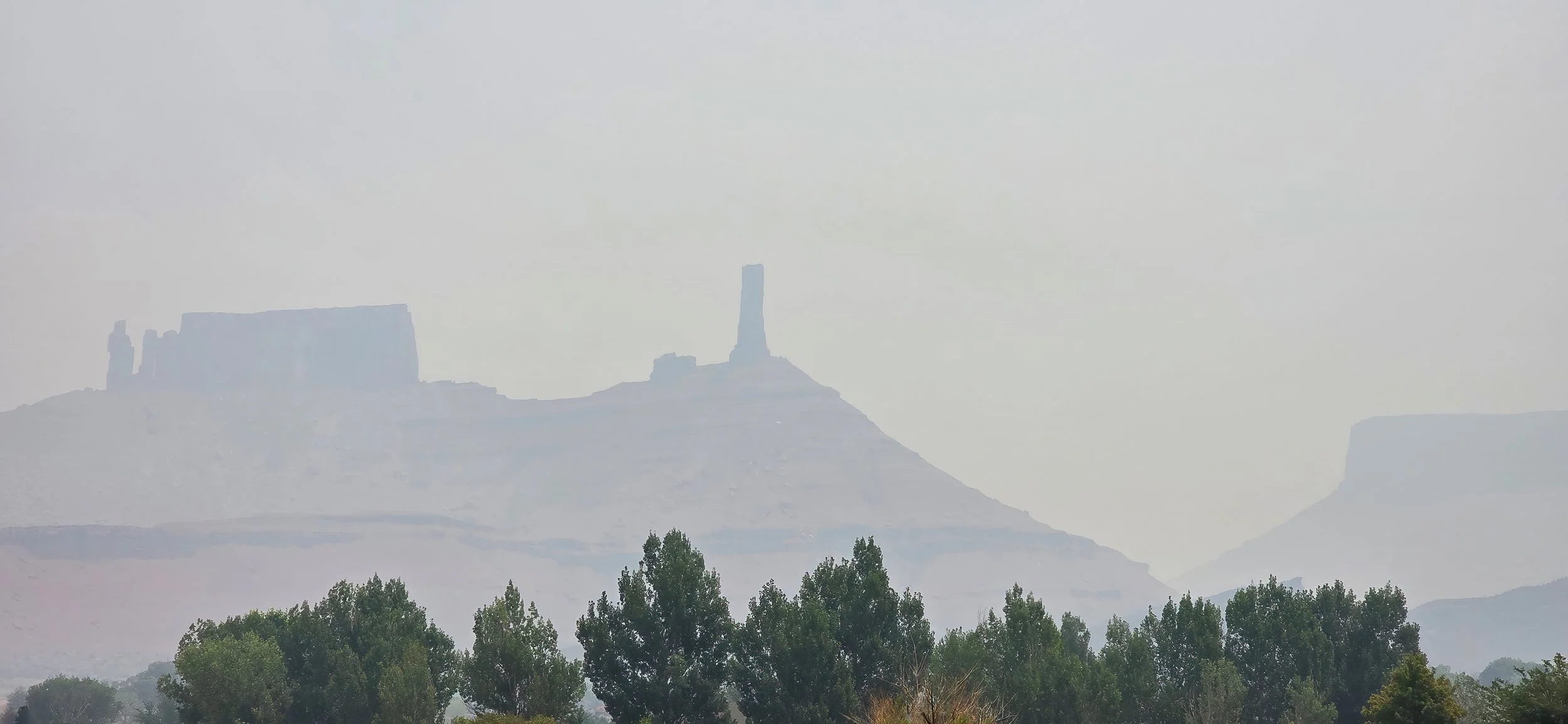
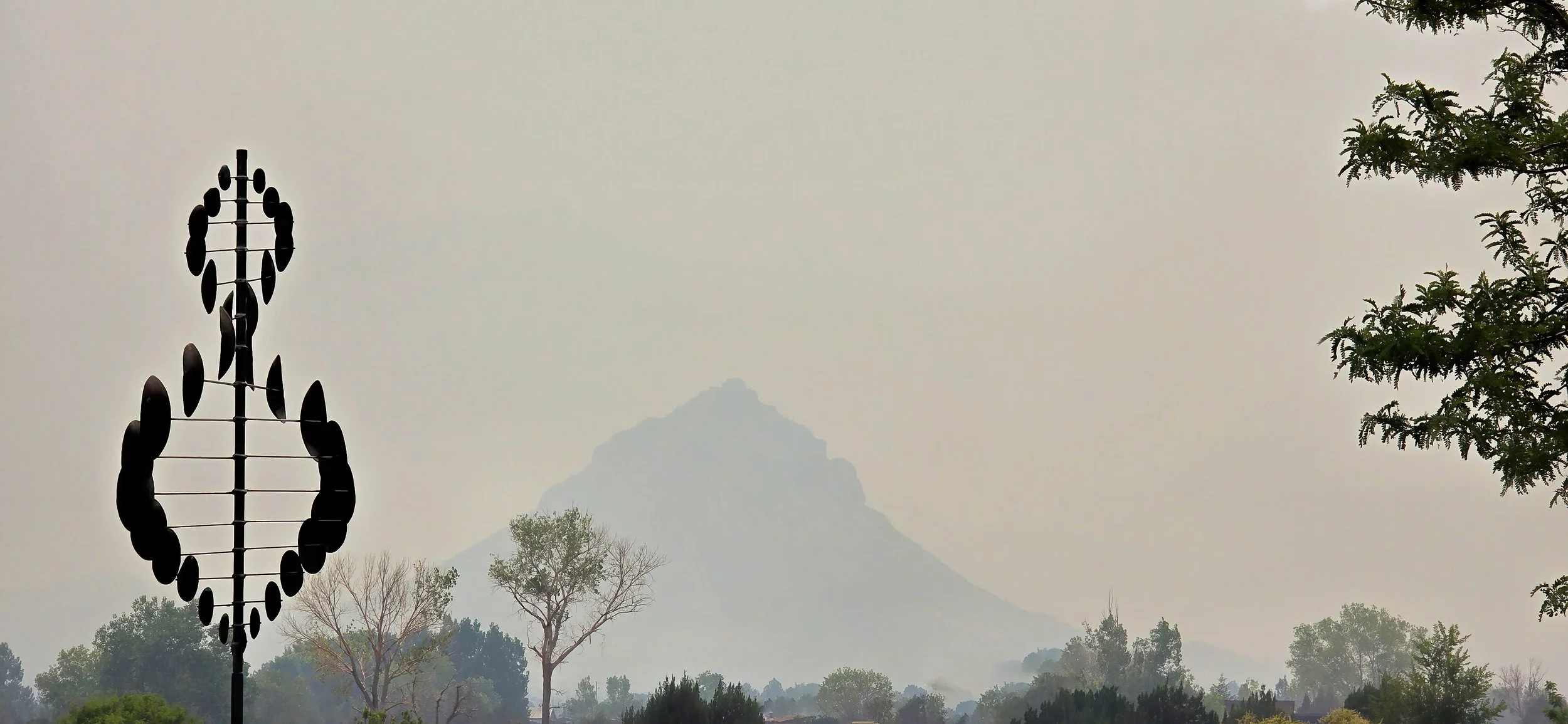
UPDATE at 5:00 pm MDT: Air quality has turned to very unhealthy. Round Mountain is no longer visible and the Tower has all but vanished from sight. Hell on Earth.
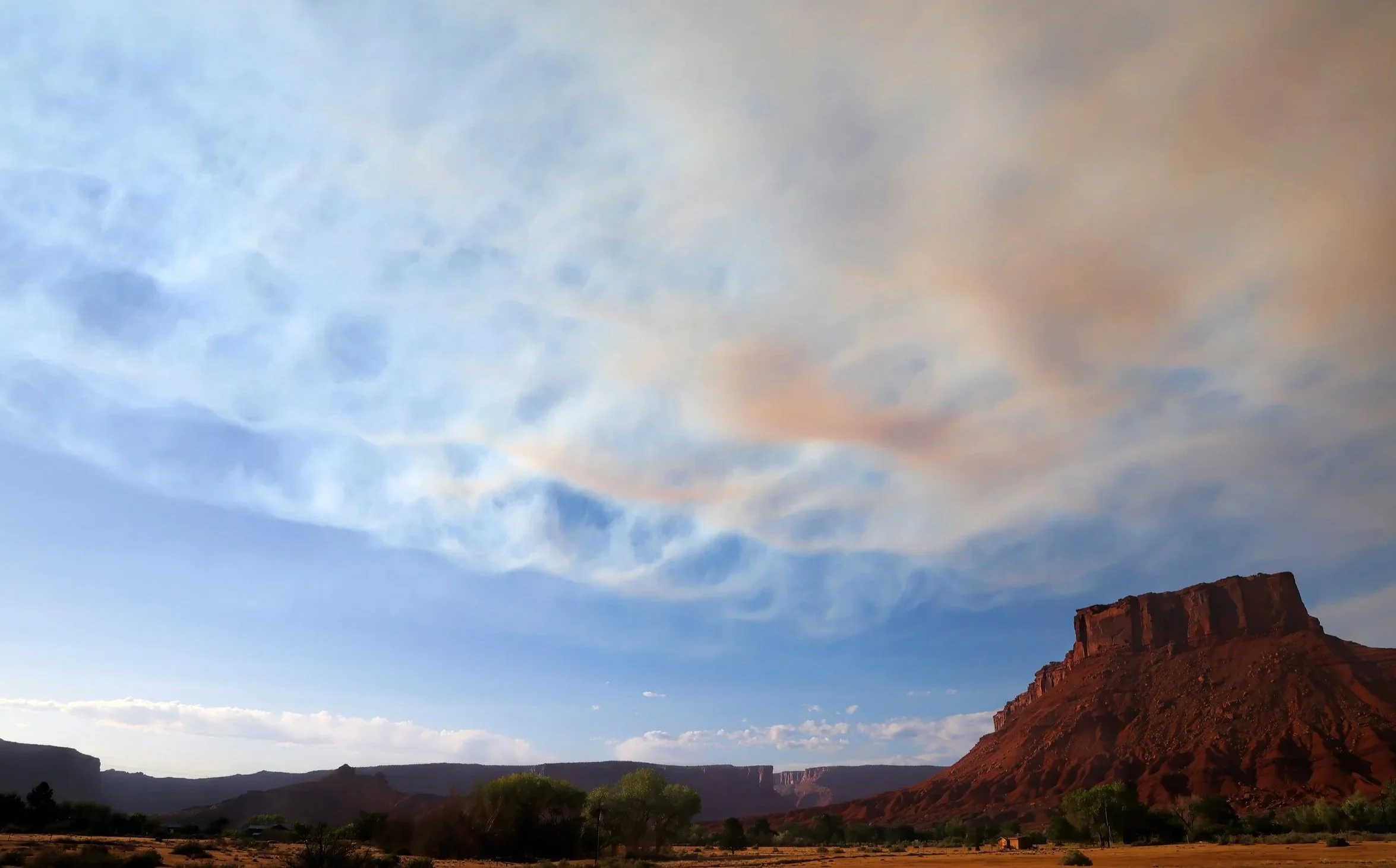
7:30 pm MDT: A late-day shift in the winds is driving the edge of the smoke plume across Parriott Mesa. Air quality is improving rapidly. Hallelujah!
in a semi-shaded spot along an irrigation ditch. A bright and lovely standout in the hot and withered landscape of summer, especially after the fire smoke has cleared.
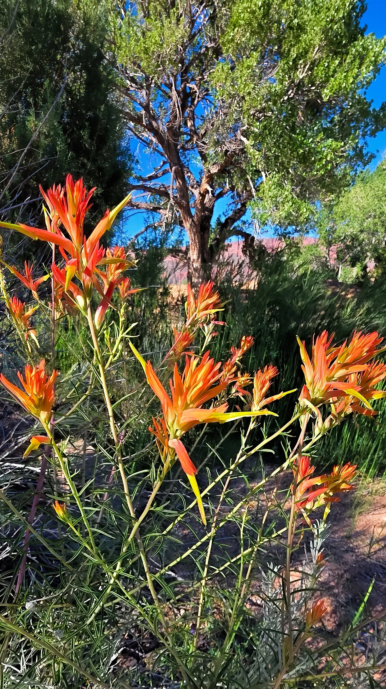
Indian paintbrush (genus Castilleja).
once again at dawn, this time from the Snyder fire on the Utah-Colorado state line southwest of Fruita, Colorado and from the Babylon fire in the Abajo Mountains. It’s going to be a horrible, terrible, no good summer throughout the West I’m afraid.
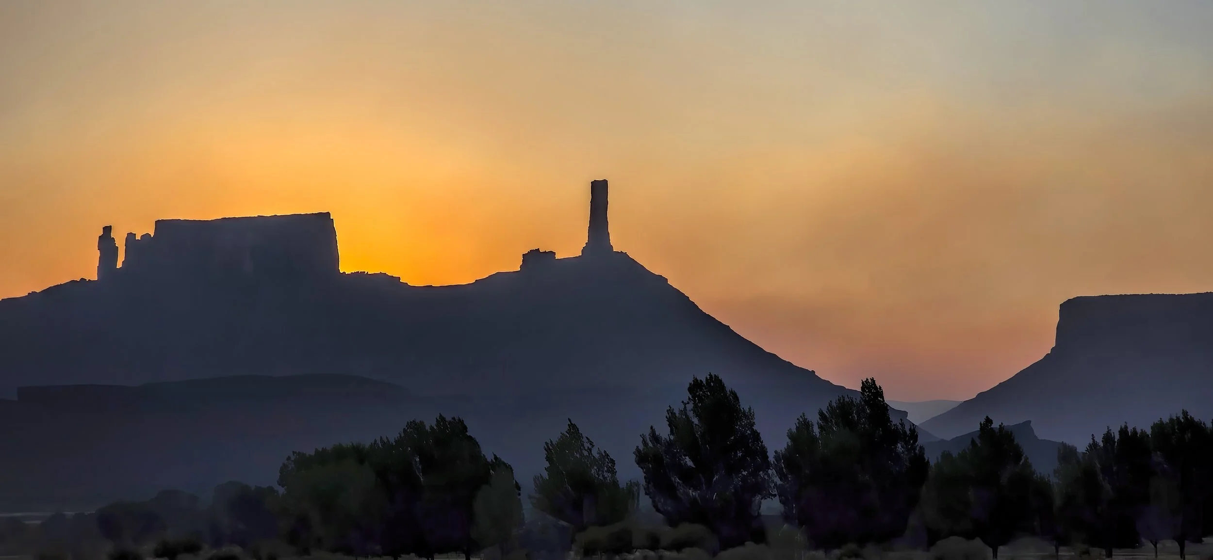
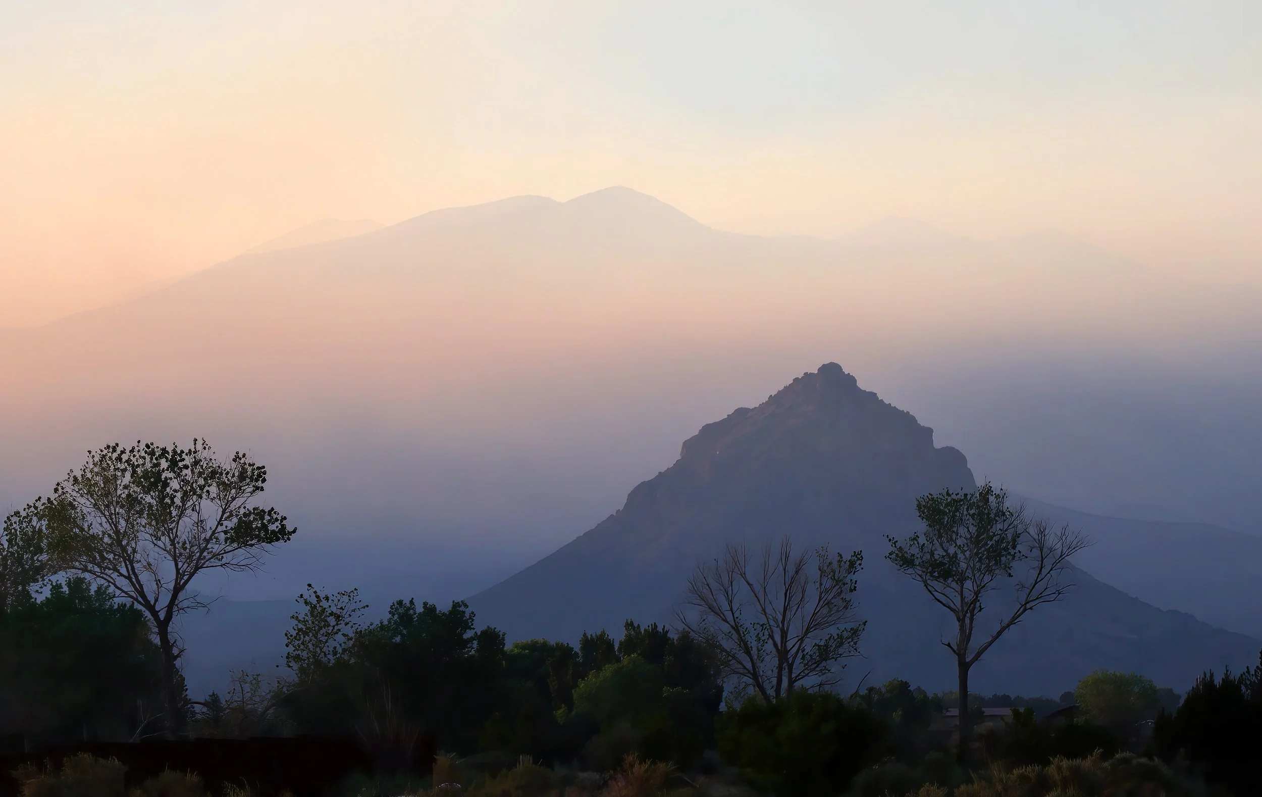
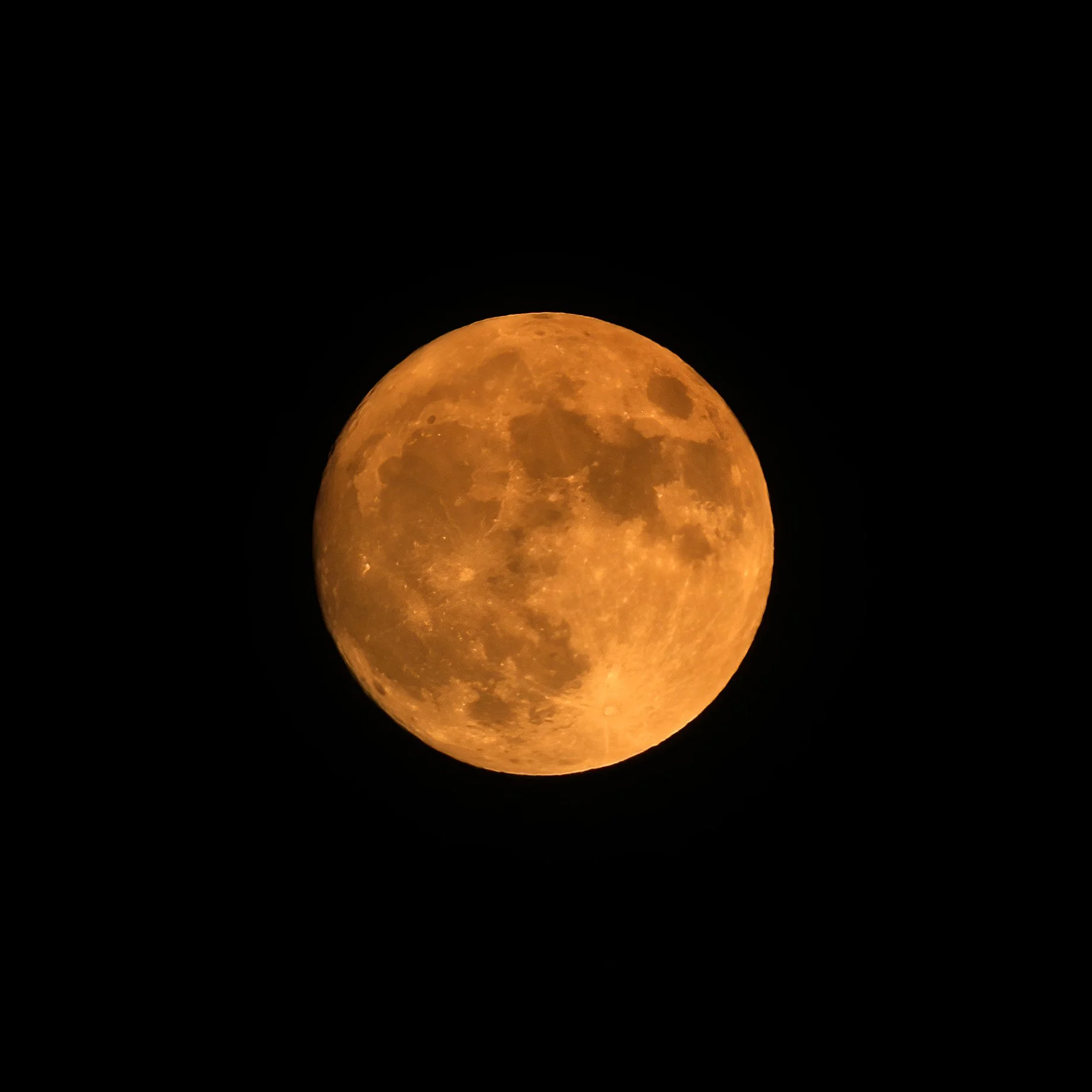
ADDED: Full smoky Moon this evening.
on the window sill, happily munching away on several strawberry slices I had placed out, hoping for its discovery. There are now two of these amusing creatures darting about and providing endless entertainment.
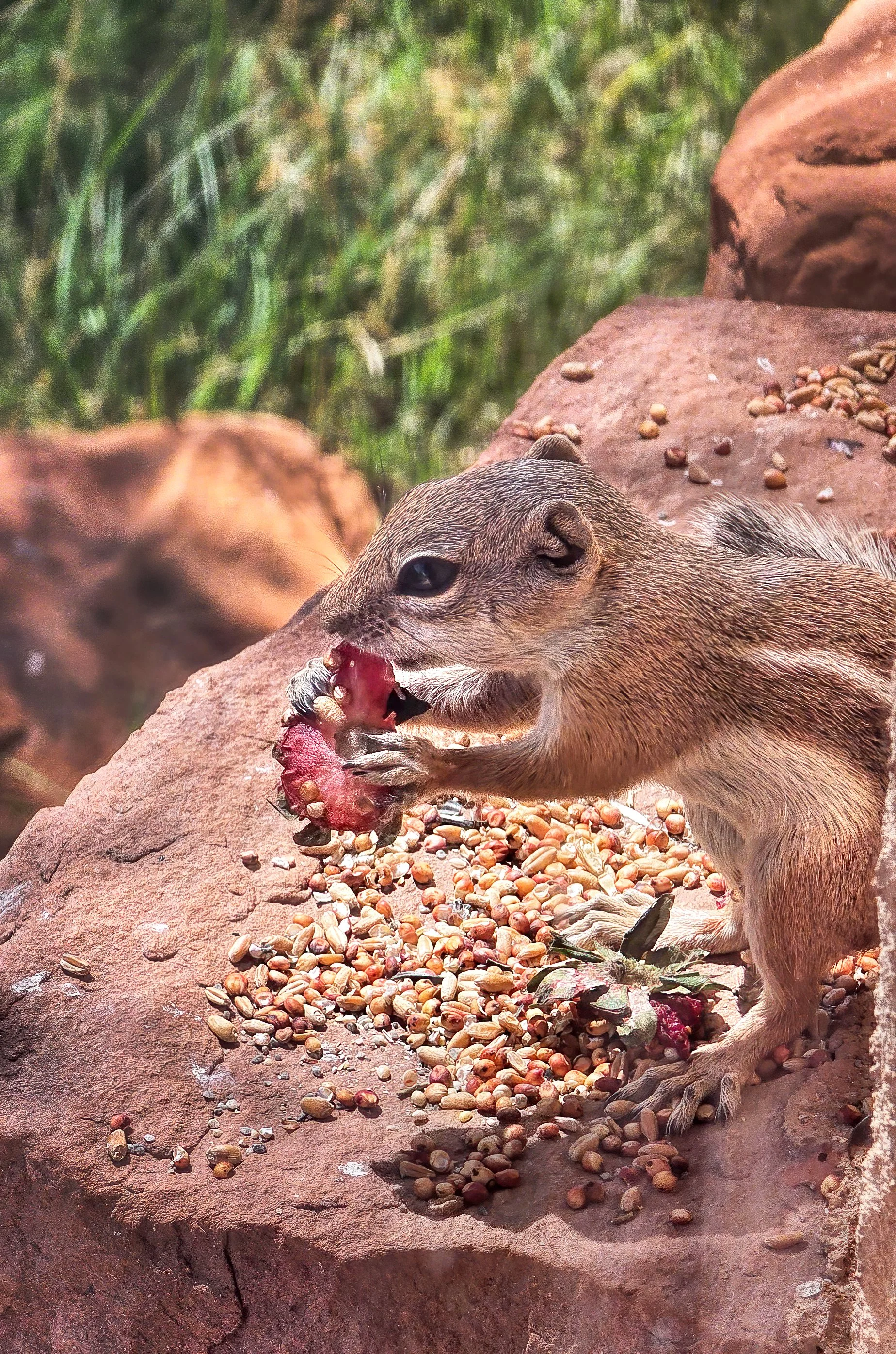
White-tailed antelope squirrel (Ammospermophilus leucurus).
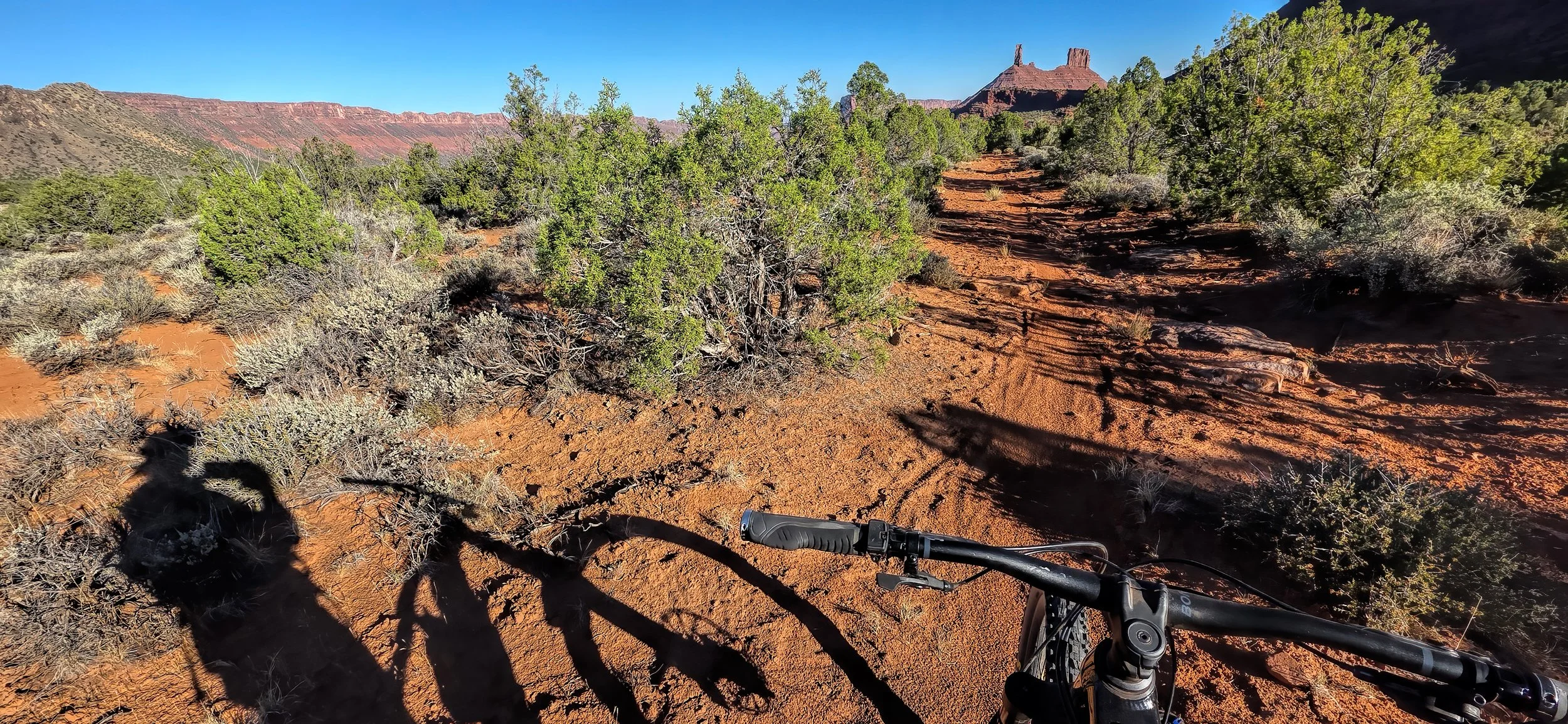
have washed the wretched fire smoke from the skies, returning the high desert to good air quality and allowing for the resumption of my early morning rides after a five day-long hiatus. Here’s my shadow claiming first tracks on the rain-dimpled singletrack this morning. Dee-lightful.
of ordering the Bronco from the dealership in Moab and it just had its first oil change and tire rotation at around 5,000 miles (8,000 km). Big fun, both on and off road!
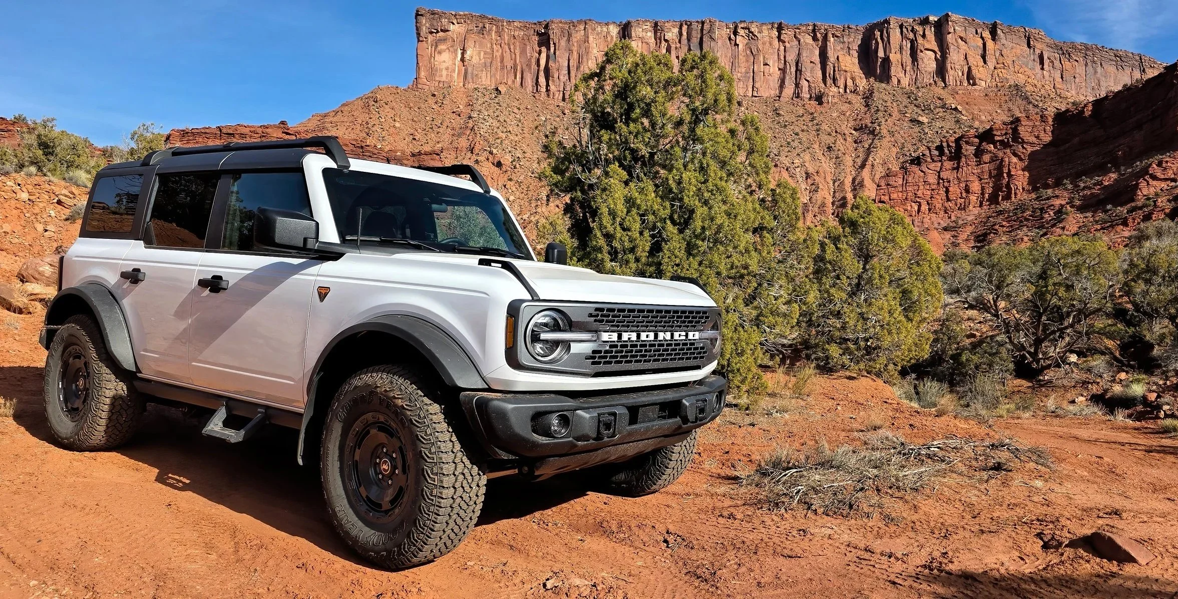
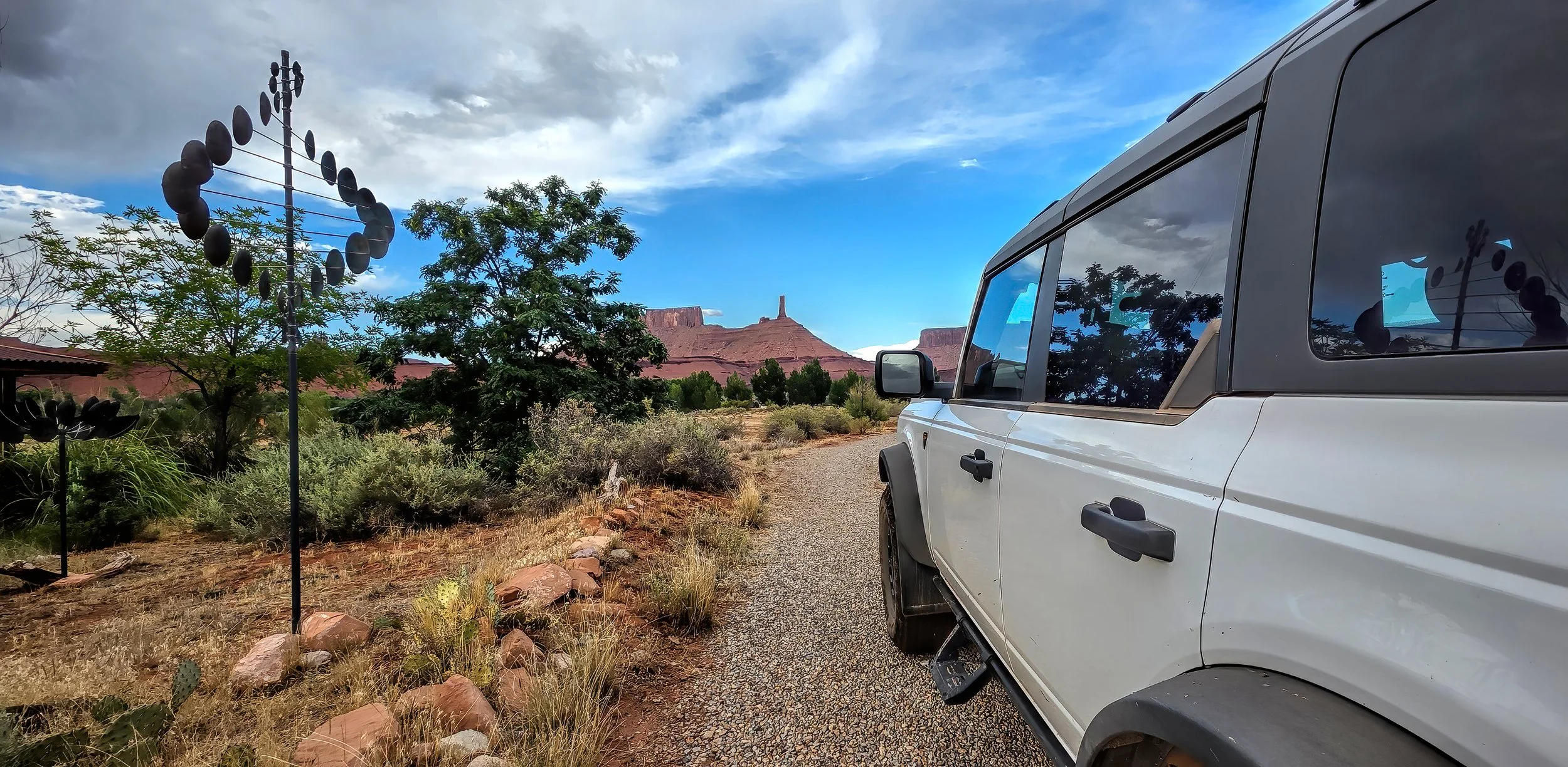
The custom-ordered Ford Bronco Badlands-Sasquatch with manual transmission arrived in Moab at the end of October and it’s been huge fun ever since, seen here parked below Adobe Mesa in April.
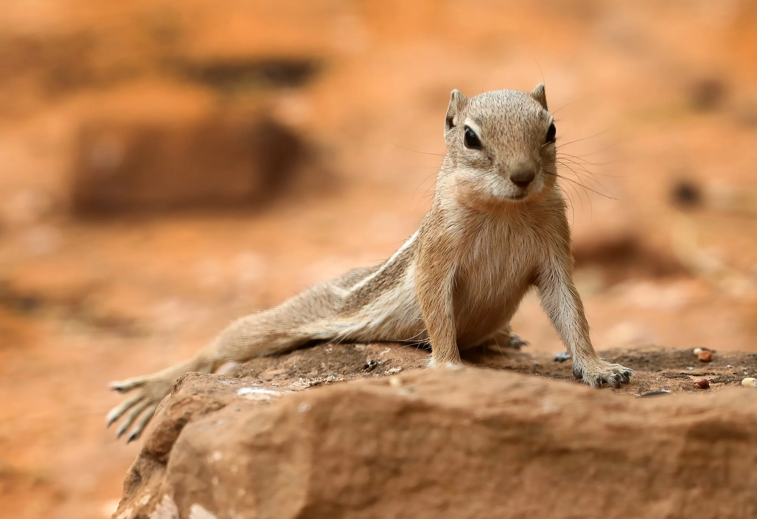
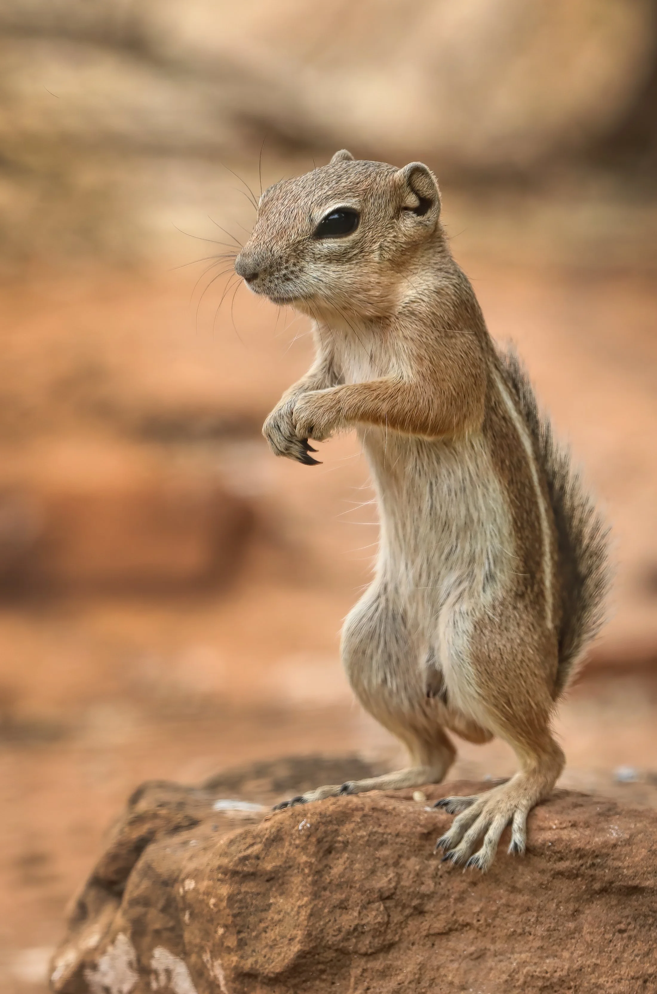
of this tiny squirrel is very amusing to watch as it stretches out on a cooler rock surface in an effort to reduce its body heat. This spread-eagle posture is sometimes referred to as “splooting.”
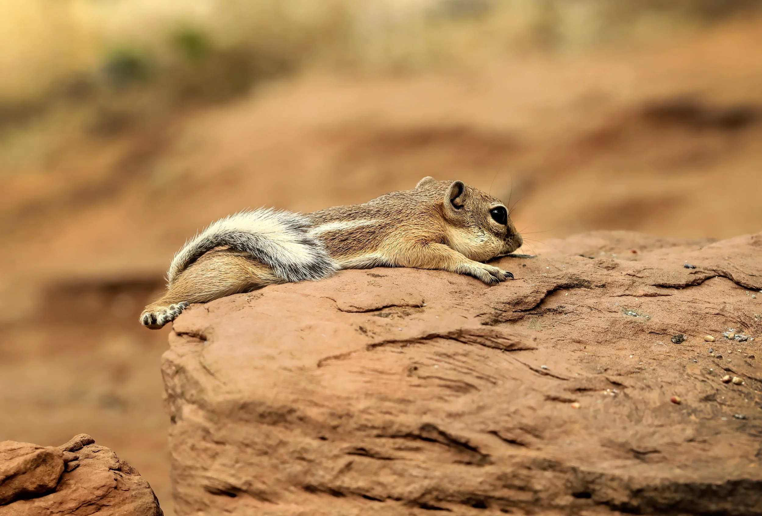
White-tailed antelope squirrel (Ammospermophilus leucurus).
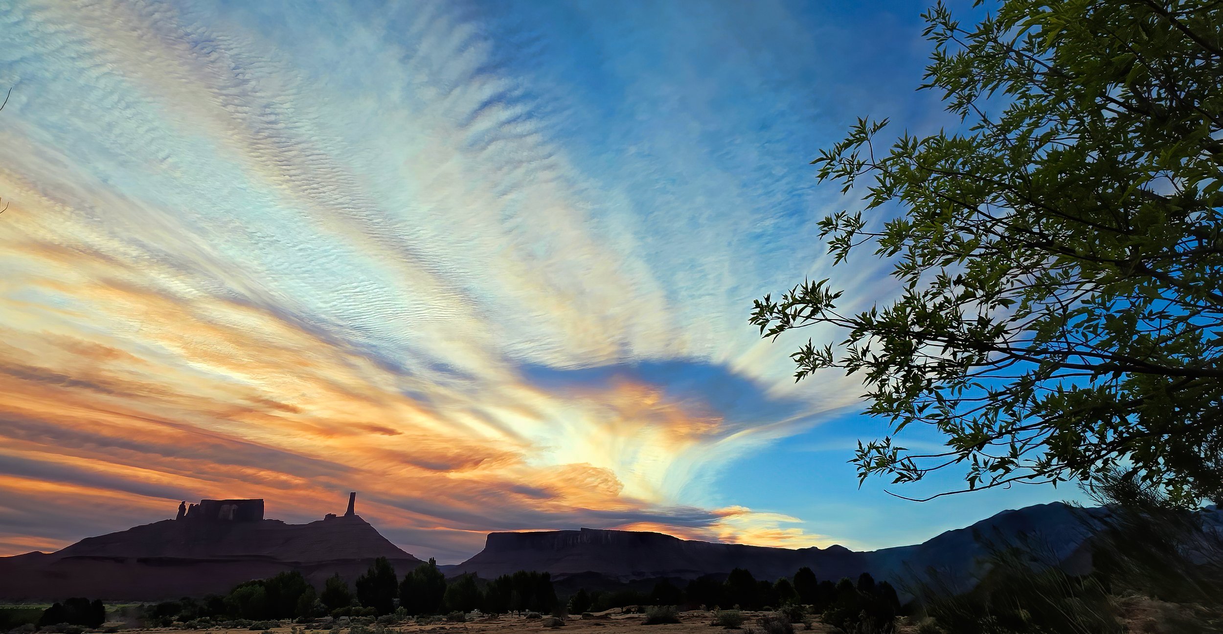
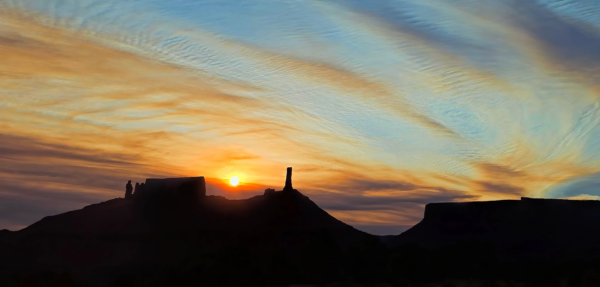
greets Castle Valley this morning. While the colorful refraction of the Sun’s rays through the smoke plume can be lovely, I still prefer smoke free skies.
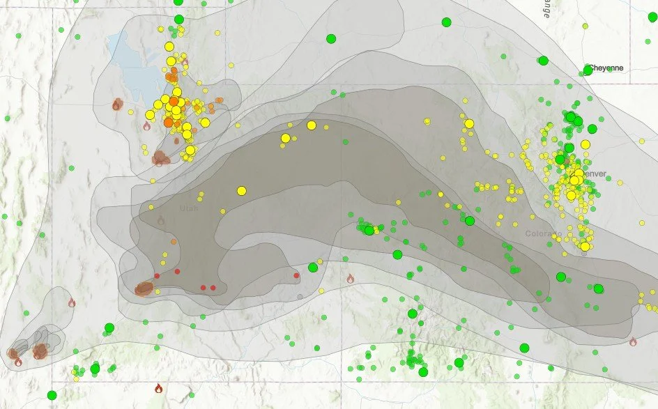
ADDED: Mid-day smoke plume map. Air quality this afternoon has significantly deteriorated and is horrible. It’s going to be one of those summers.
Another indispensable website and app during fire season: Watch Duty. I highly recommend an annual membership for $25 to support their valuable work (no commission earned).
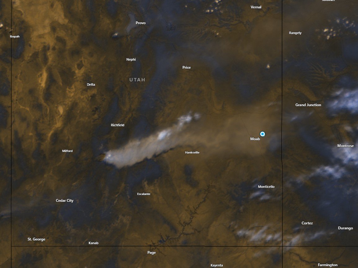
ADDED: Mid-afternoon satellite image of smoke plume from the Cottonwood Fire near Beaver, Utah.
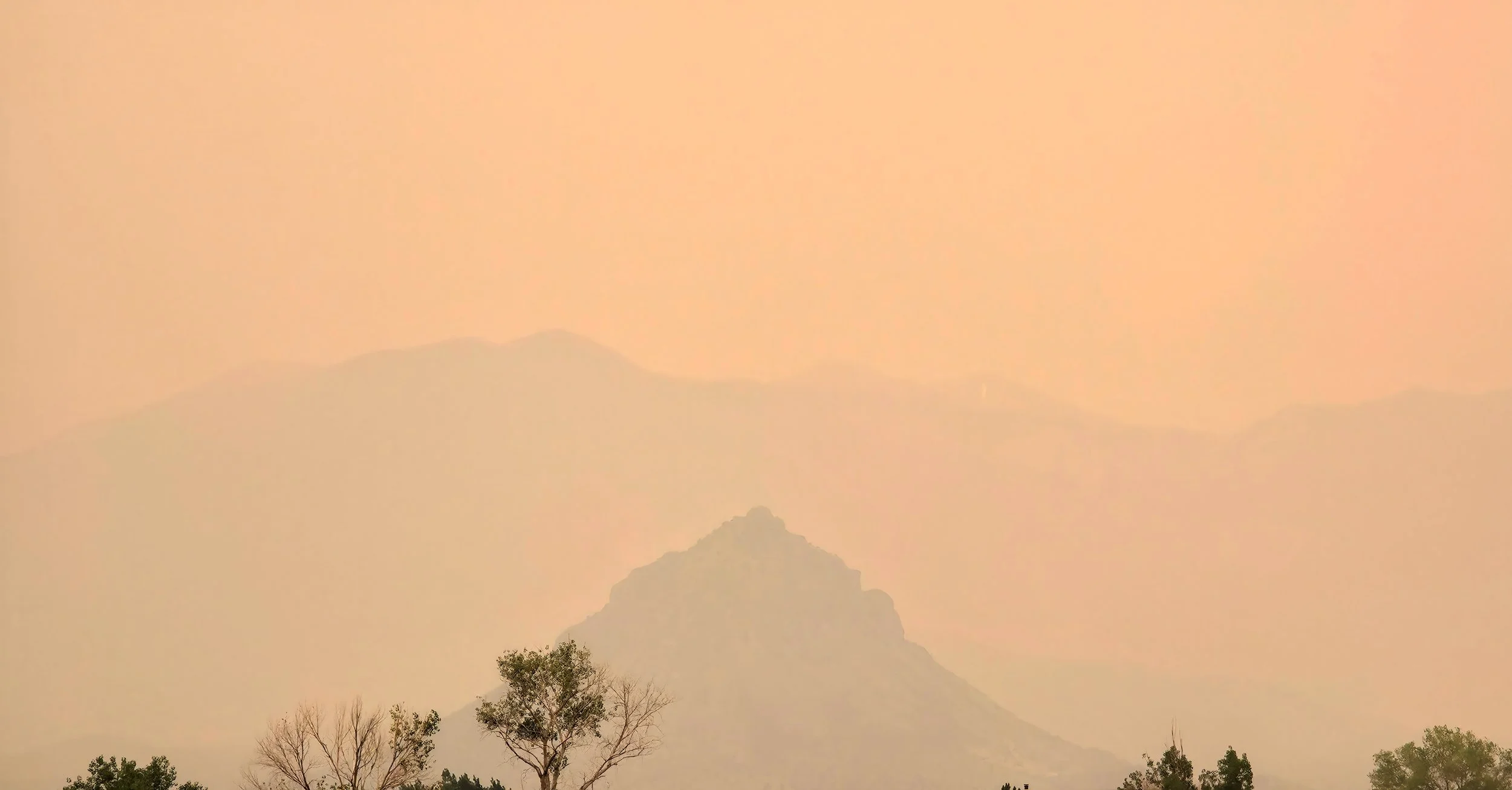
The La Sal Mountains have nearly vanished in the thick smoky haze at 3:00 pm MDT.
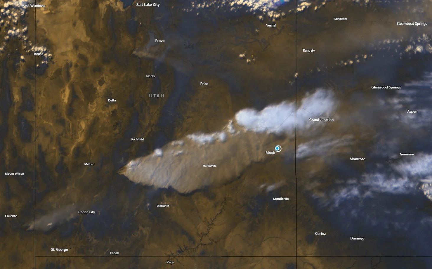
Downwinders: Air quality is now well into the unhealthy range in the Moab - Castle Valley area and likely to get worse. Here’s the smoke plume at 5:00 pm MDT. Round Mountain has completely disappeared from view.
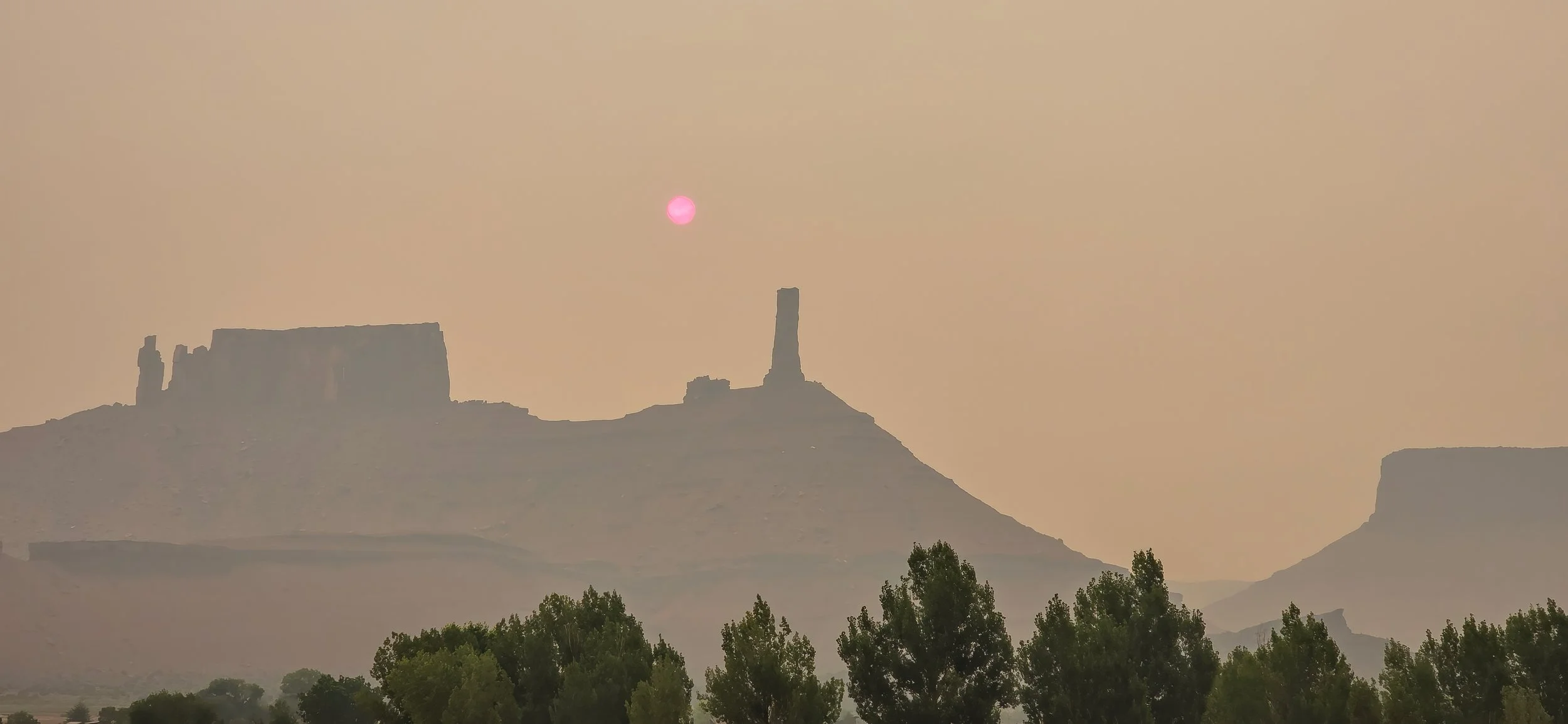
24 June 2026 UPDATE: Shortly after sunrise, around 7:00 am MDT. Air quality remains firmly in the unhealthy category. Ugh.
a few miles above its confluence with the Colorado River, as seen from Gold Mine Road on an early morning drive.
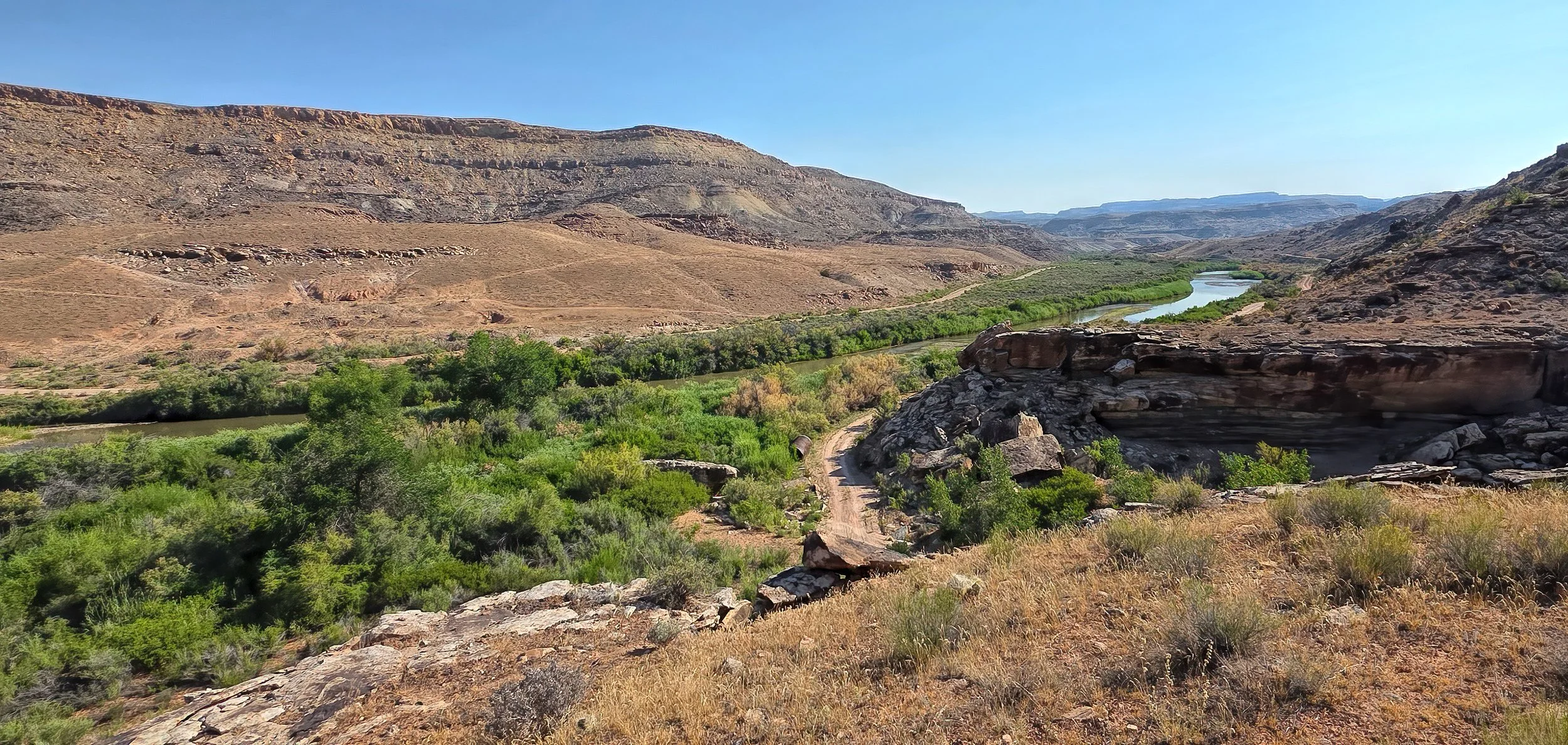
Note the disturbance on the lower slopes across the river, left of center, the site of a historic placer gold mining operation.
diminishes air quality across Utah and Colorado, frustrating my attempt at solstice sunrise photography earlier in the morning. A large range fire southwest of Provo is responsible. I dread fire season.
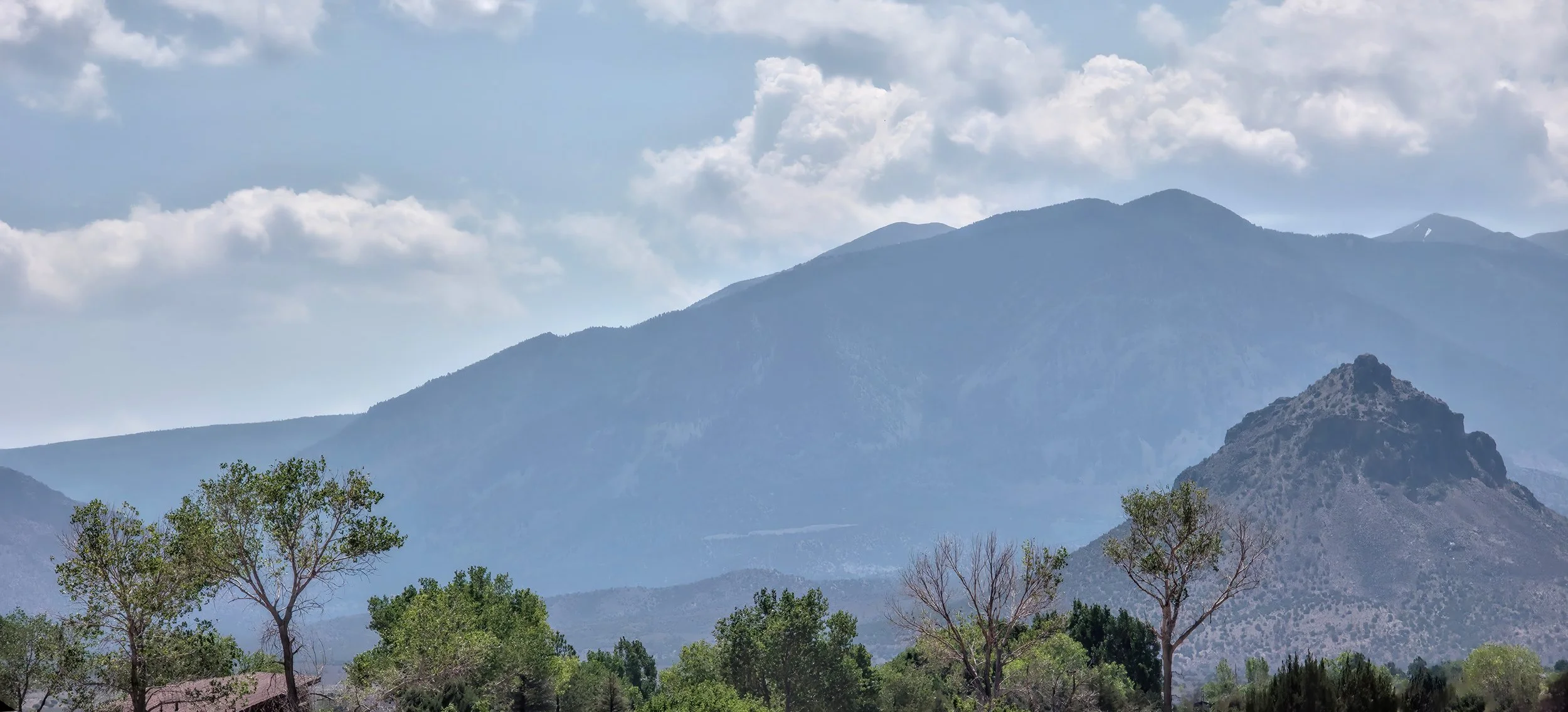
The hazy view at high noon.
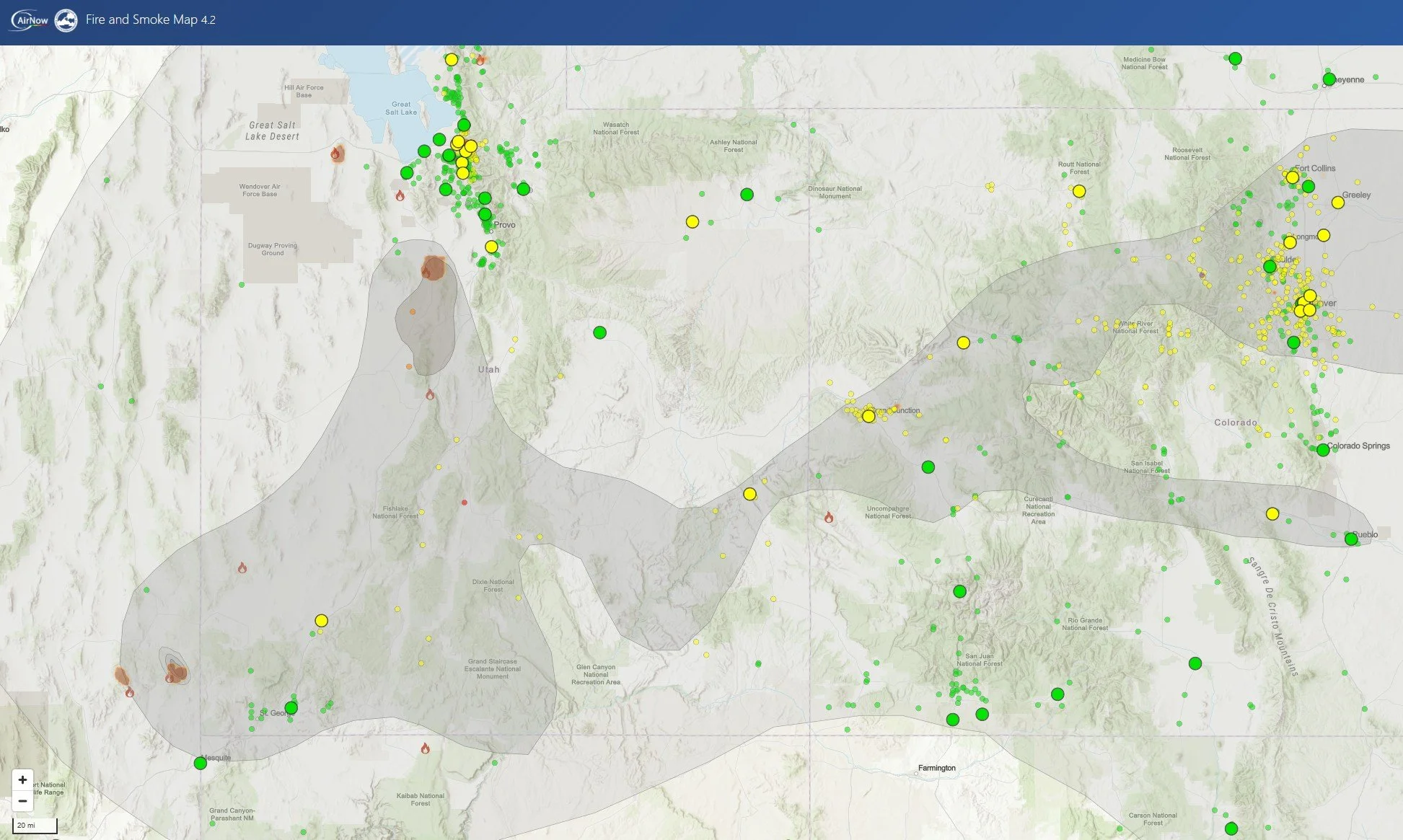
Useful link to Fire and Smoke Map 4.2. (You may have to turn on the plume mapping function in the settings.)
that occurs tomorrow morning when I aspire to photographically capture the “triple sunrise” behind Castleton Tower. Fire smoke in the air last year frustrated my efforts and I’ve been patiently waiting for 364 days to try again.
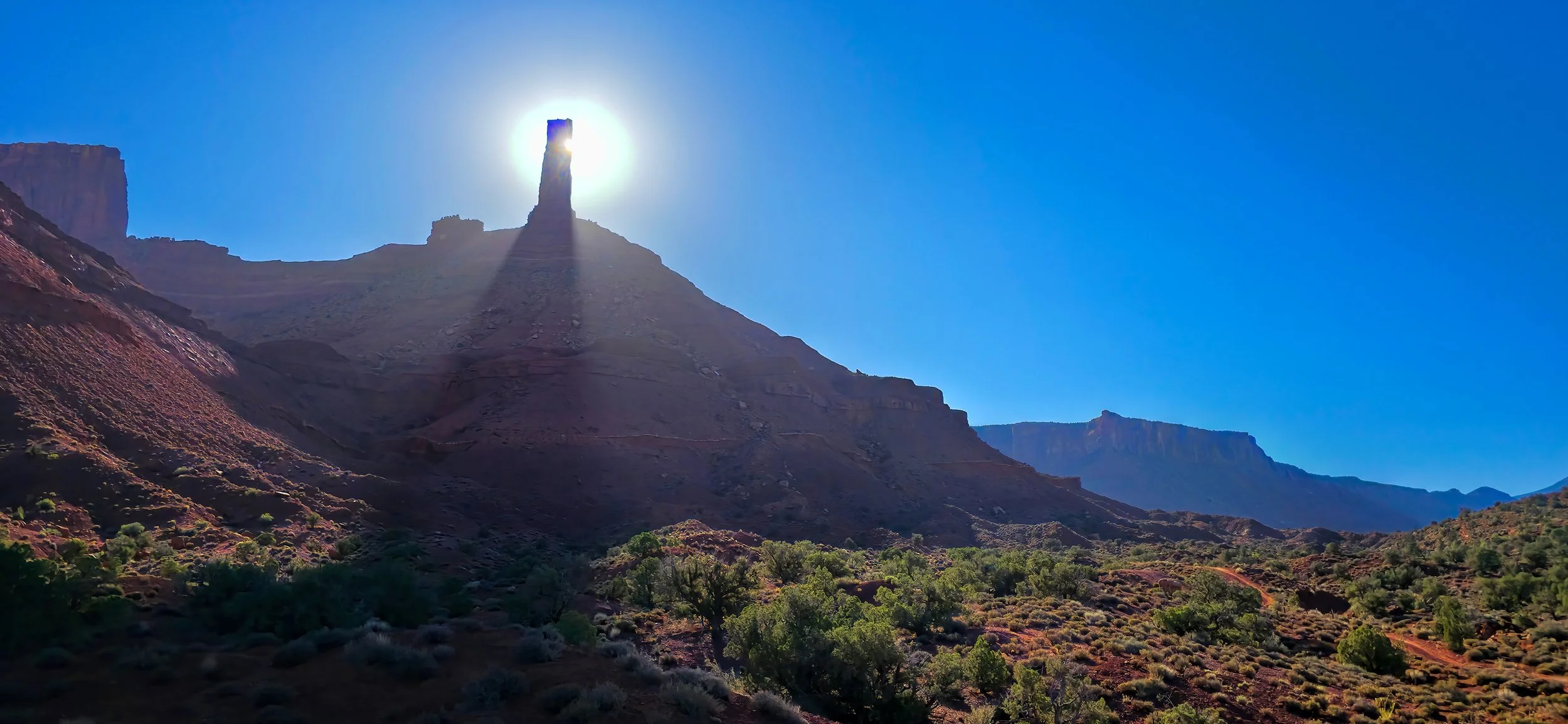
This morning, out on the bike, on the trail beneath the Tower. Helluva back yard.
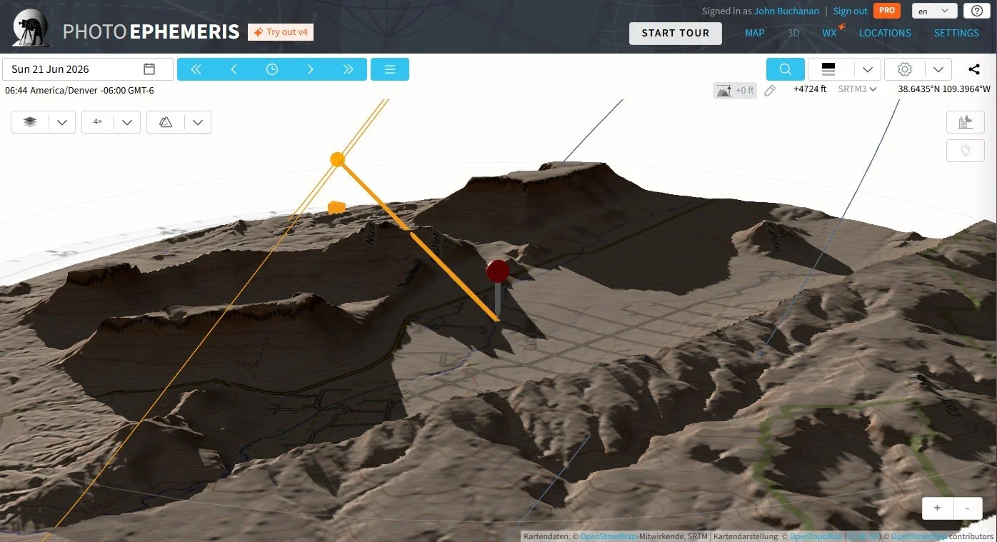
My calculations indicate that the show starts around 6:45 am MDT tomorrow.
DISAPPOINTING UPDATE 21 June 2026: The summer solstice has arrived, as well as the fire smoke! A large range fire southwest of Provo has flooded the atmosphere with a smoky haze this morning. Dang. What a difference a day makes. I’ll have to try again next year.