from pluvial Lake Bonneville occurred through this gap in southeastern Idaho known as Red Rock Pass. The volume of the great gush is estimated at five thousand cubic kilometers (1,200 cubic miles!) of water, released about 14,000 years ago in a catastrophic megaflood that likely lasted weeks to months and scoured the Snake River Plain in Idaho downstream from this site.
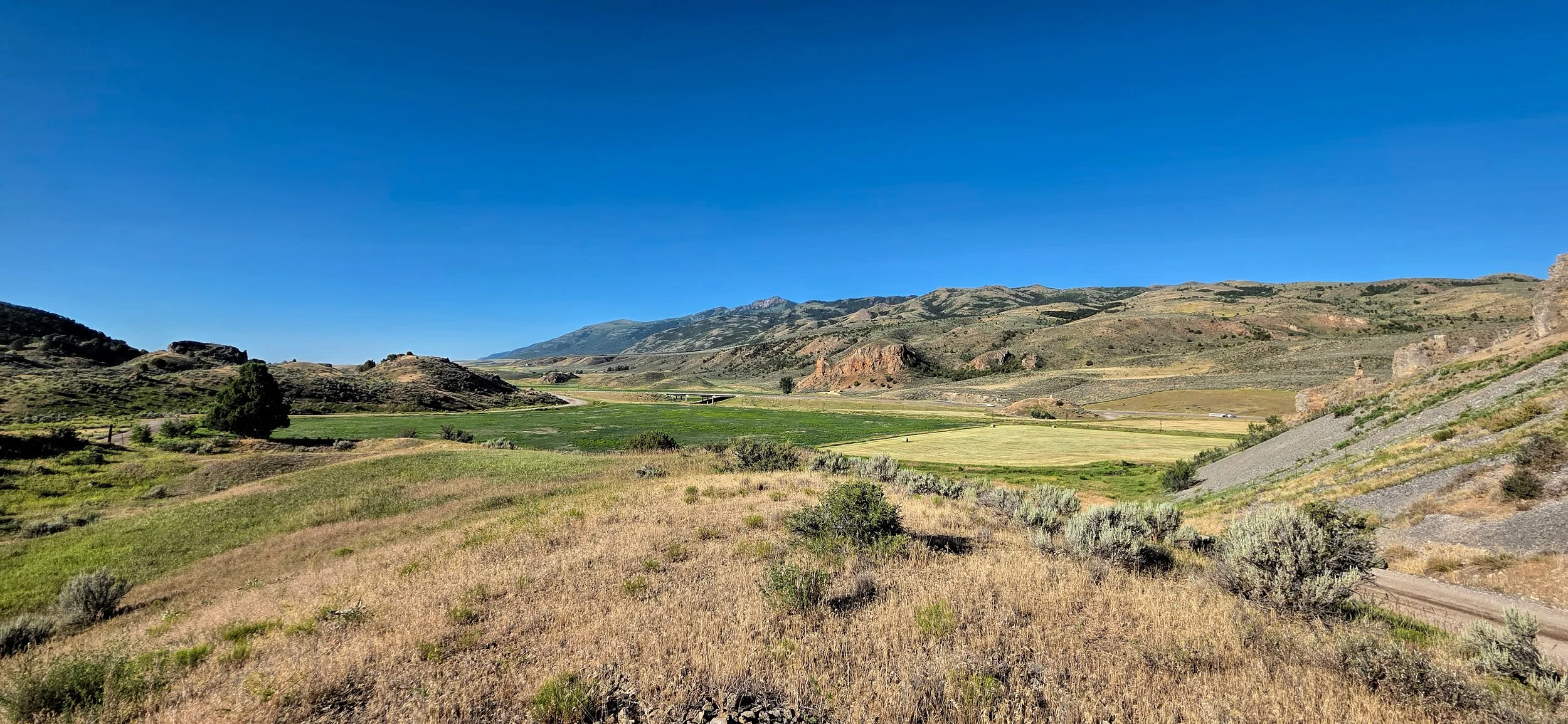
Red Rock Pass, a few miles south of Downey, Idaho on US 91. View is to the south, or upstream during the big spill. The vast expanse of Lake Bonneville would have existed on the far side of the skyline ridge, reaching across a third of Utah. Once the rising lake water began spilling across this low point along its shoreline and into the adjacent valley, a great unraveling was unleashed. The unconsolidated surficial alluvium and the underlying sedimentary rocks forming the bedrock sill rapidly eroded, much as a dam collapses when overtopped.
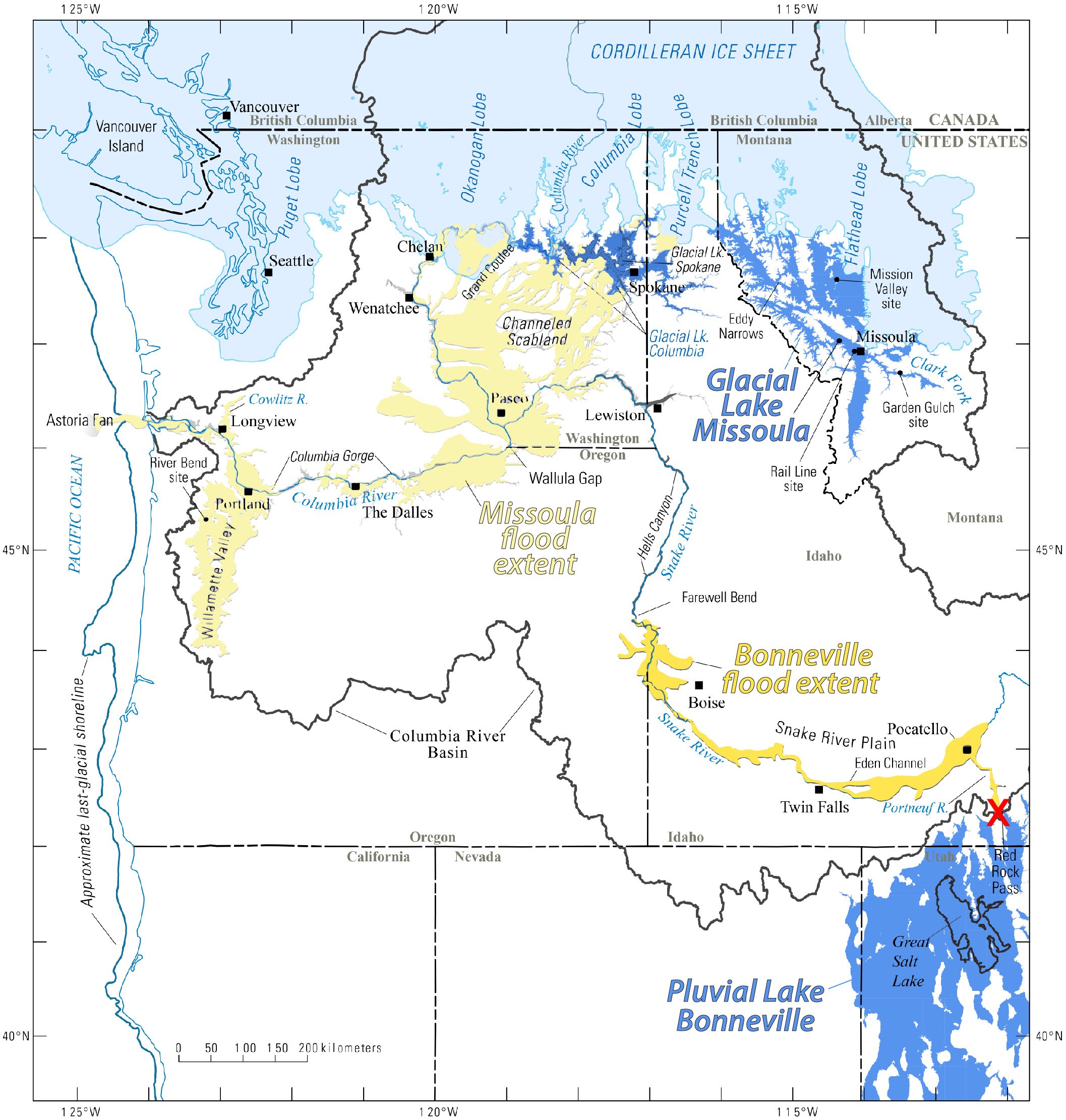
Red X marks the spot (near lower right) of Red Rock Pass, the spillover point for Lake Bonneville. The torrent of floodwater exiting the basin through the gap lowered the overall lake level approximately 105 m (350 feet). Map from Idaho State University.
More here about this tremendous flood from the Idaho State University: Lake Bonneville flood.