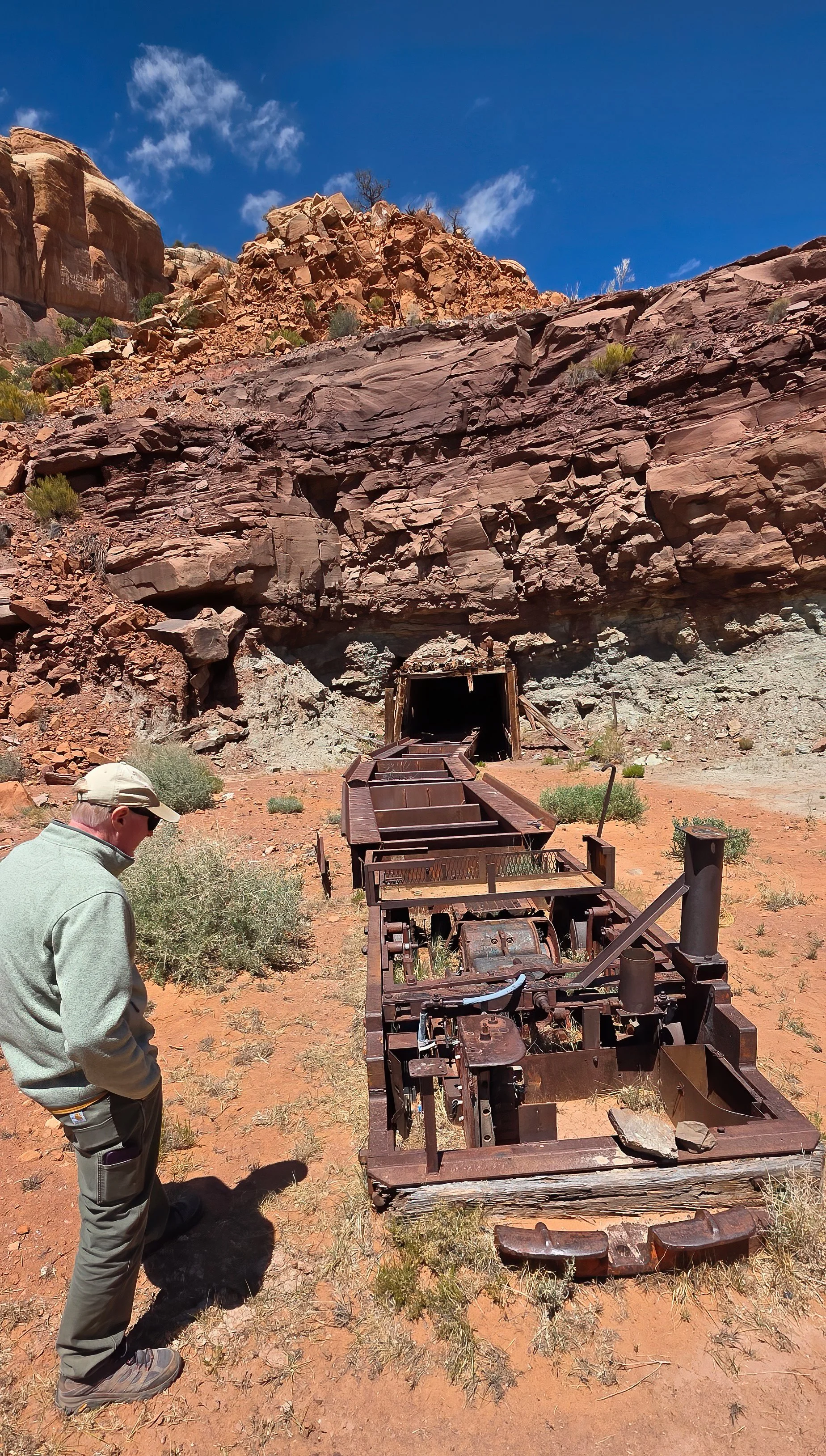
on the Pend Oreille River at the US-Canadian border, a concrete arch-gravity dam constructed in 1967 for hydroelectric generation, was nothing short of excellent. A big thank you goes to the engineers from Seattle City Light that owns and operates the structure for a terrific exploration of the facility.
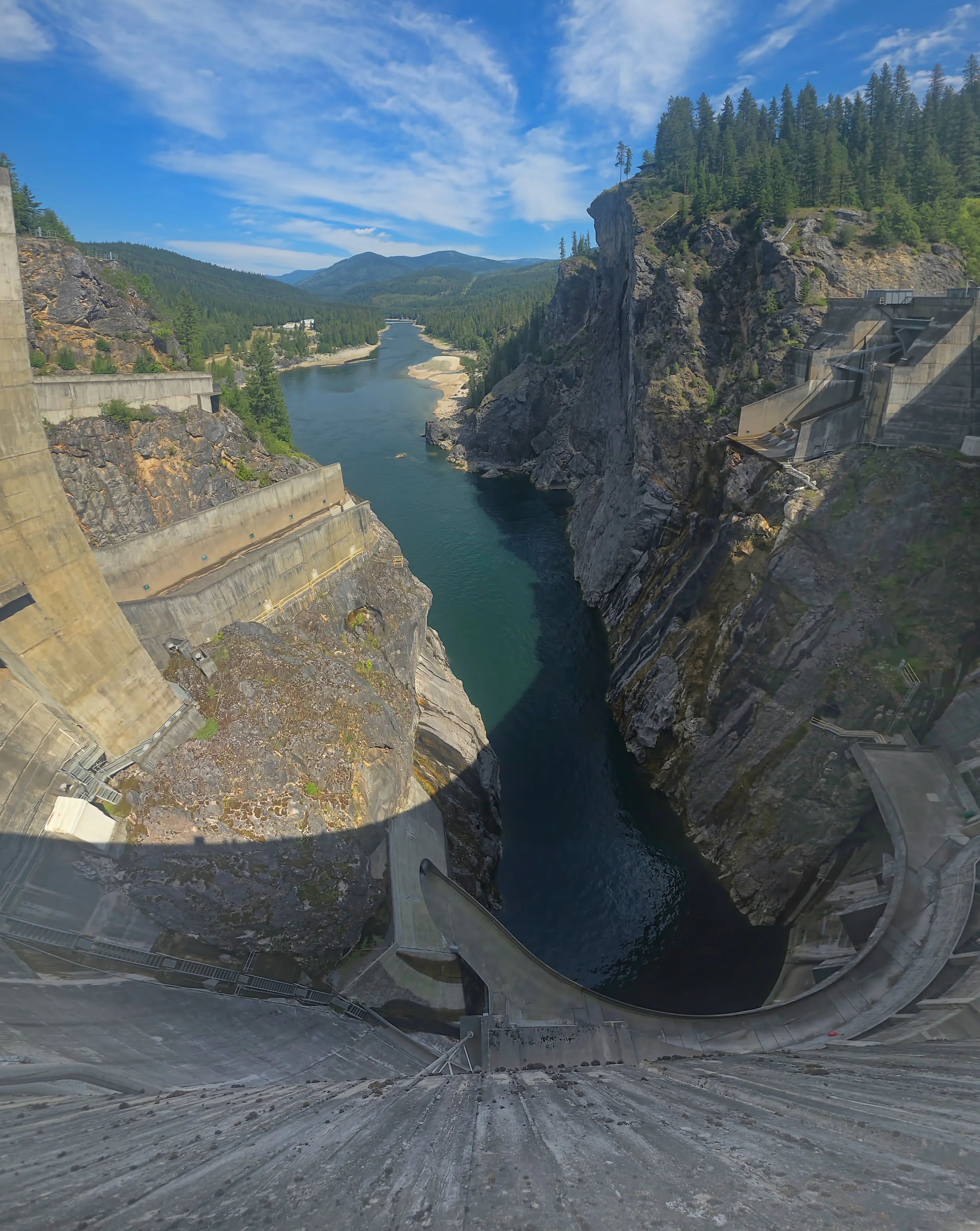
View due north, down river and into Canada from the top of the arch dam, 338 feet (103 m) above the water surface.
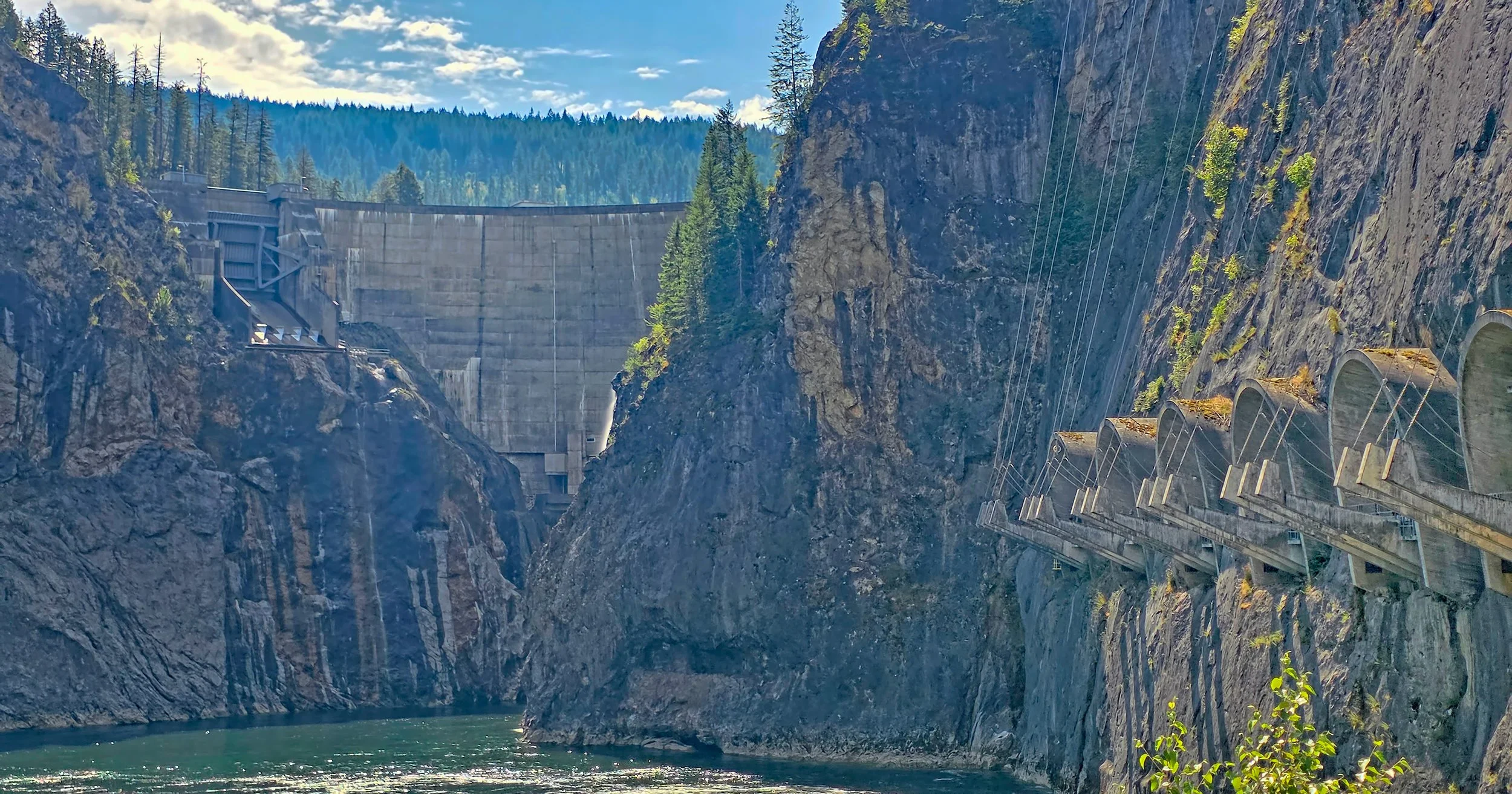
View of Boundary Dam from river level, with the six transformer stations on the right where high voltage power lines exit the underground powerhouse.
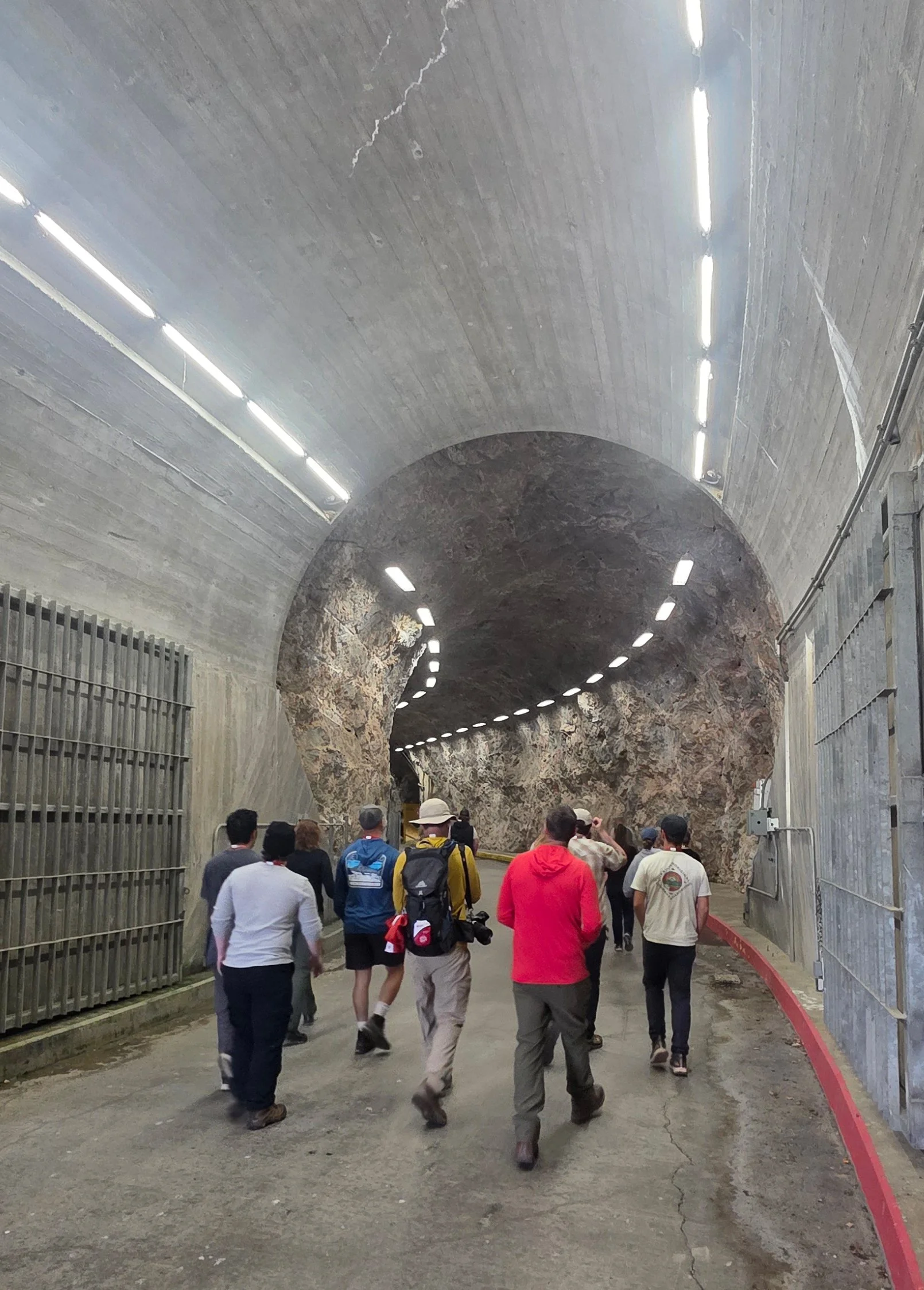
Service tunnel entrance to the subterranean powerhouse, including the generator hall, transformer stations, the control room for operation of the structure and administrative offices.
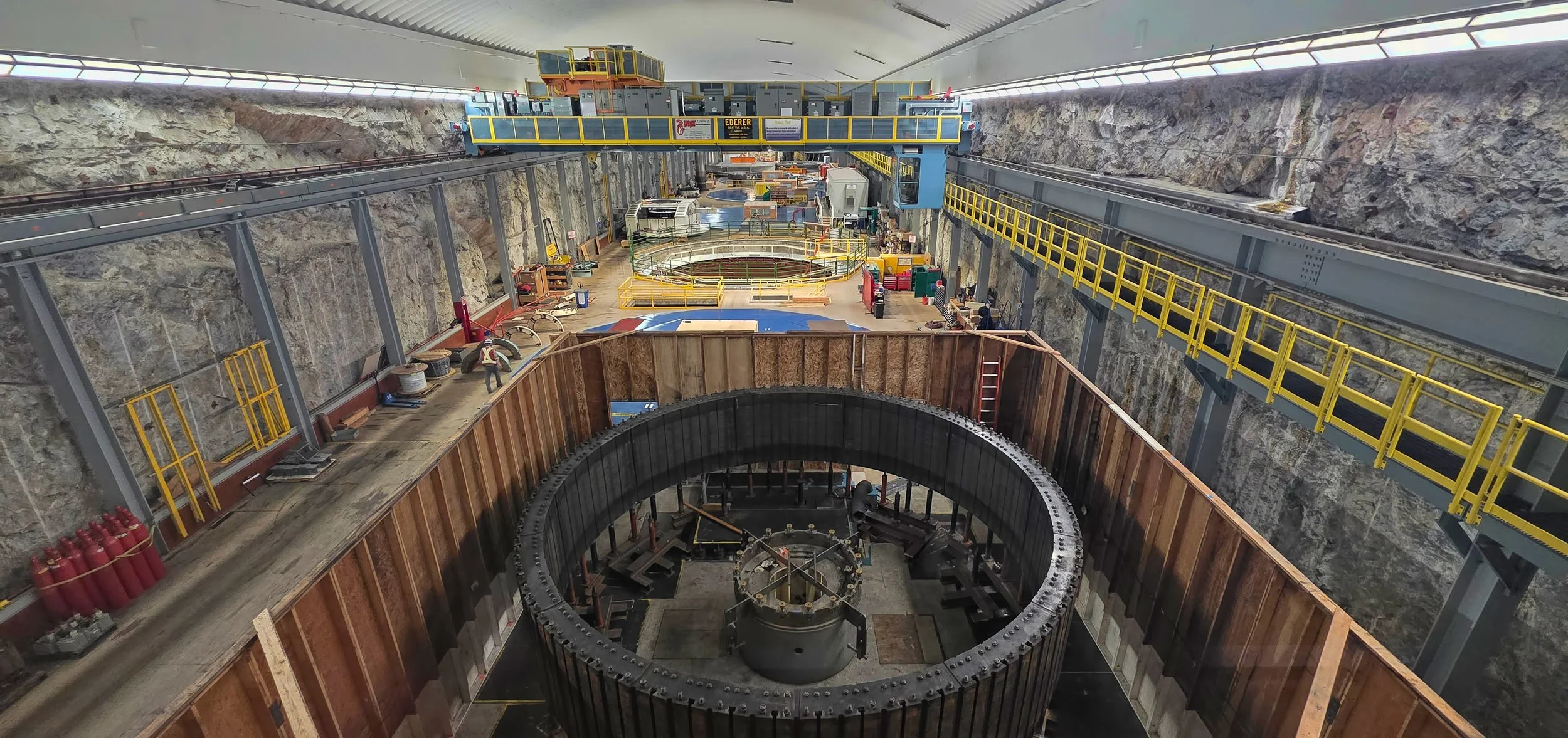
Generator Hall, an enormous chamber excavated out of limestone bedrock, showing six turbines with one undergoing refurbishment.