with remotely operated and solar powered spy cameras, engaging in unconstitutionally broad and warrantless surveillance of all citizens. Seven such cameras have been installed in my rural community in eastern Washington in an invasion of civil liberties, and seemingly in violation of state law as well. Shame on the mayor, members of the city council and police chief. George Orwell's 1949 novel 1984 was meant to be a cautionary tale and not an instruction manual for government!
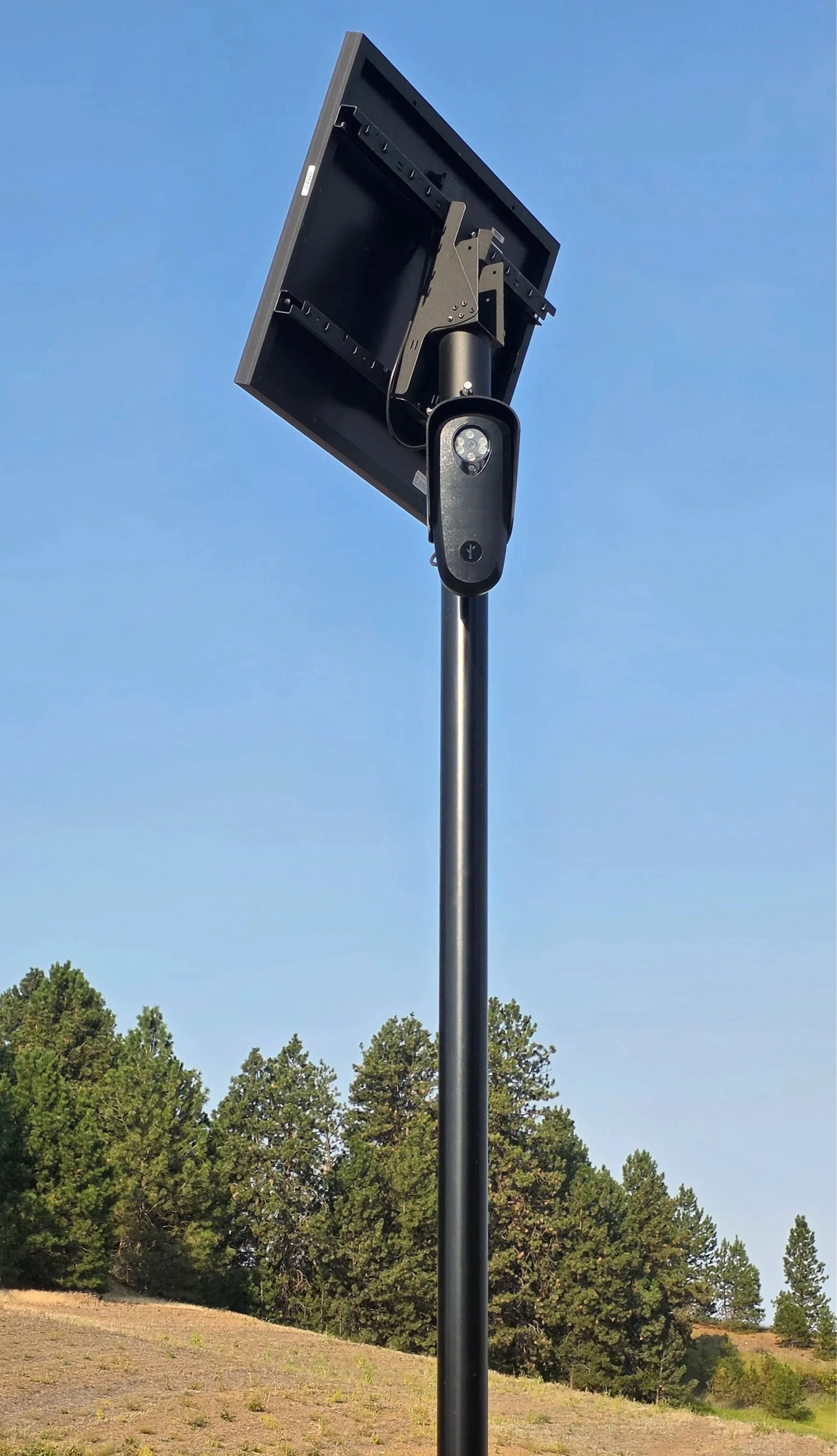
Flock spy camera.
Helpful link: See if you are being spied upon where you live.