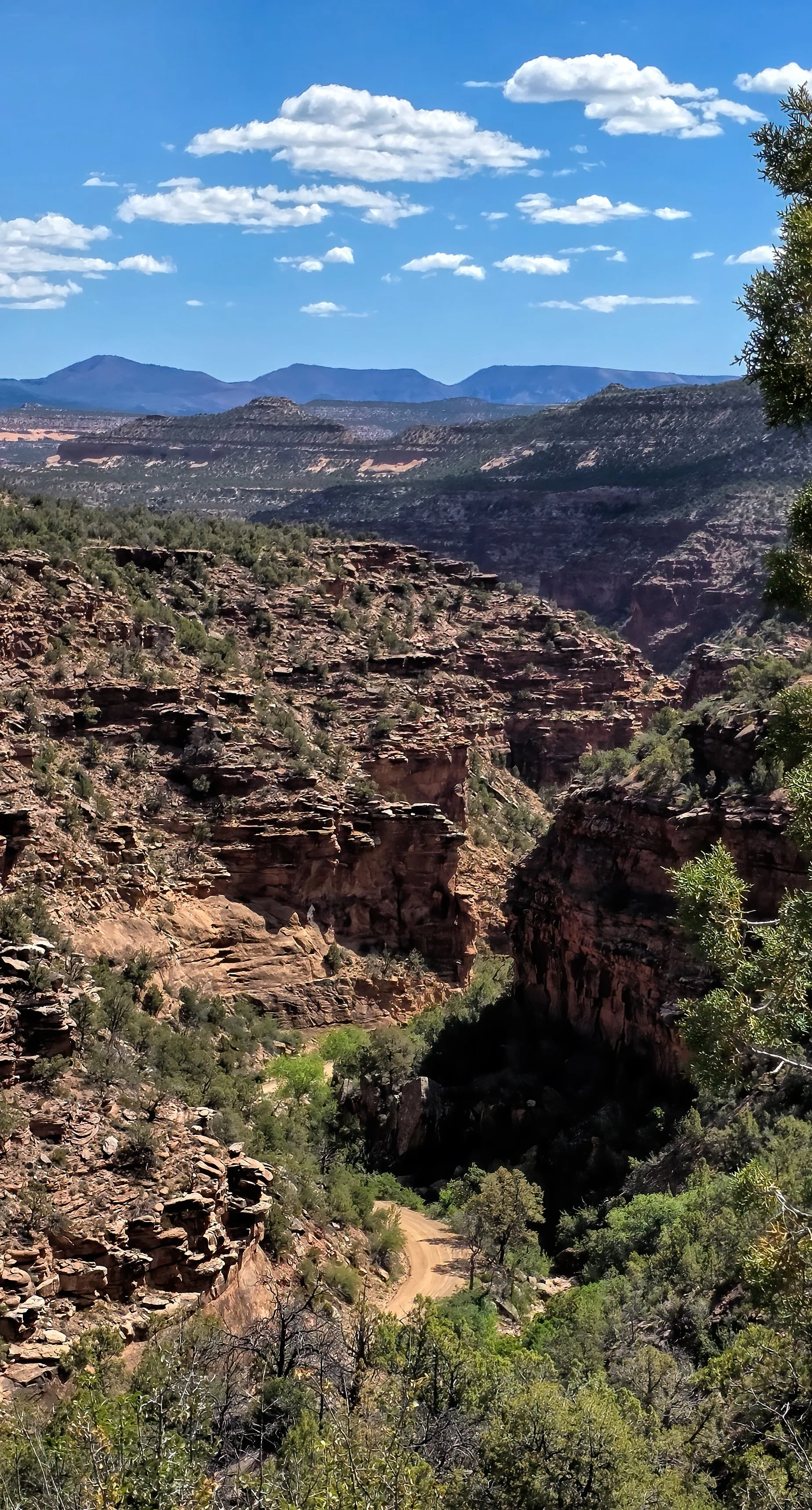
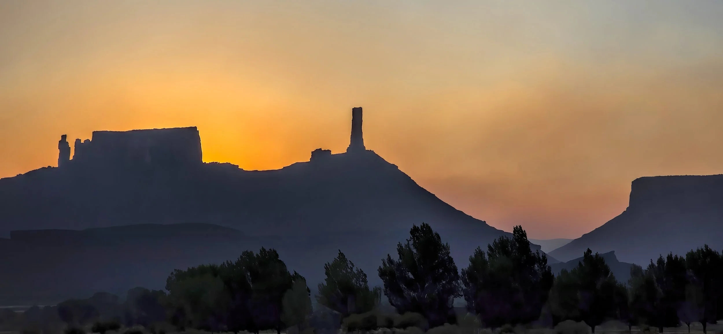
once again at dawn, this time from the Snyder fire on the Utah-Colorado state line southwest of Fruita, Colorado and from the Babylon fire in the Abajo Mountains. It’s going to be a horrible, terrible, no good summer throughout the West I’m afraid.
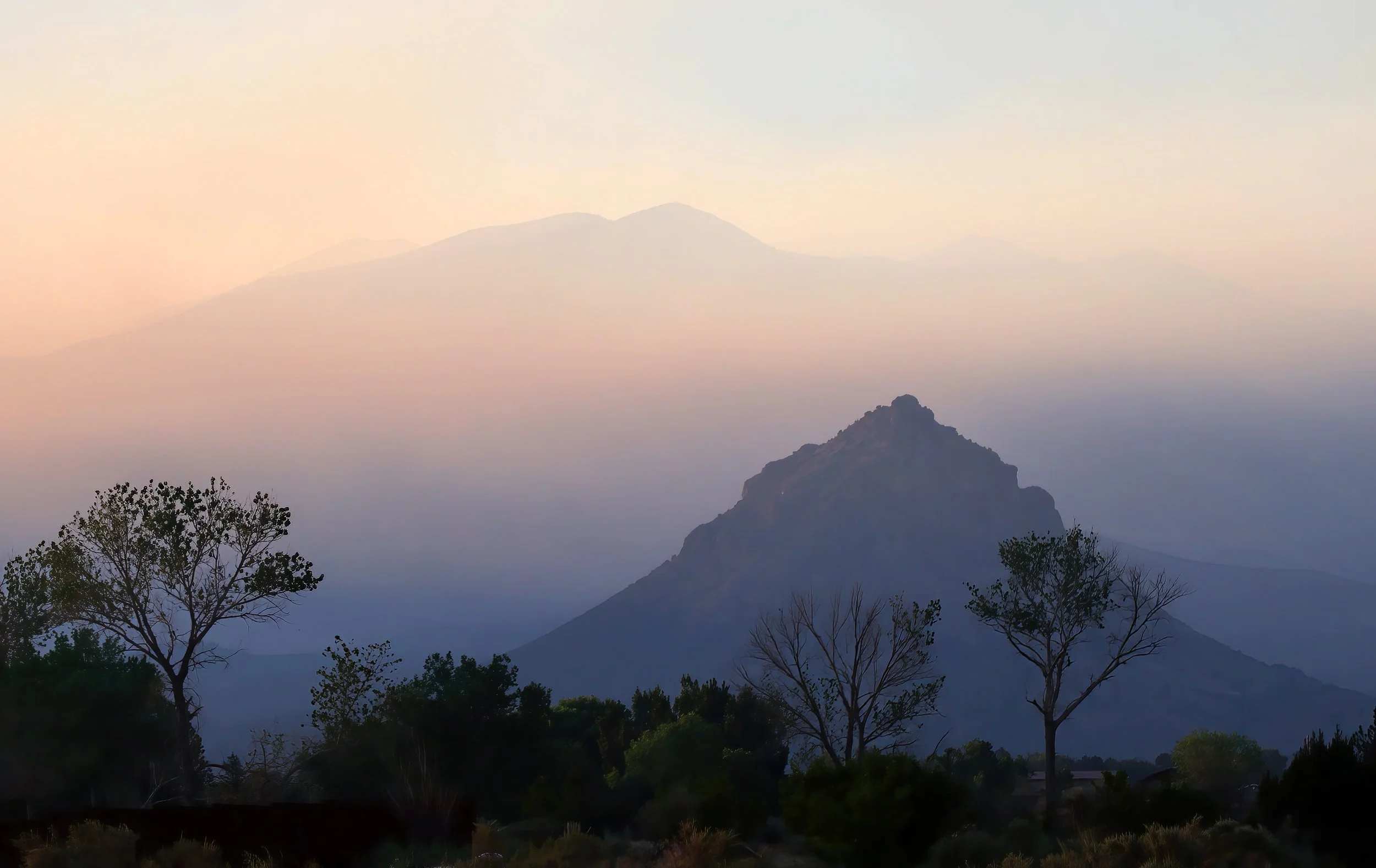

ADDED: Full smoky Moon this evening.