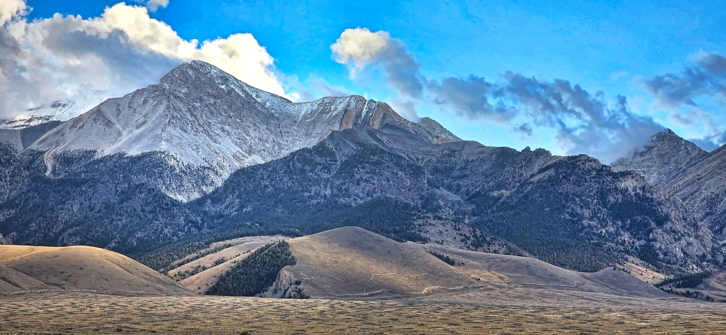
The highest summit in Idaho...

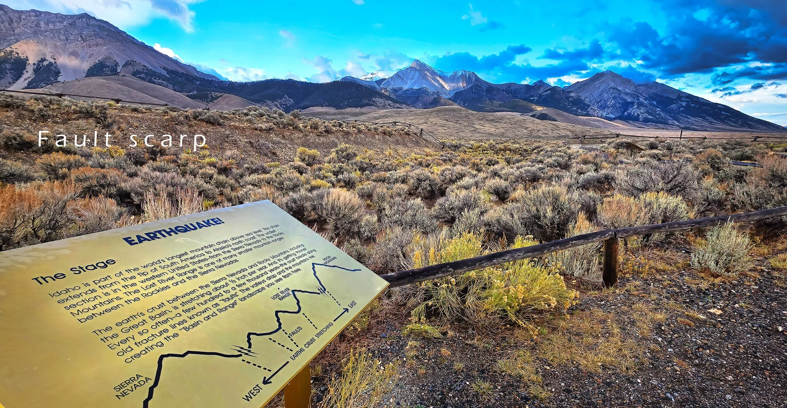
is dusted with the first snow of the season on a stormy afternoon. A violent 6.9 magnitude earthquake occurred in the Lost River Range on 28 October 2983 and created a 21 mile (34 km) long fault scarp at the foot of the mountain front.

Borah Peak (12,662 ft (3,859 m)). Note the prominent fault scarps at the foot of the lowermost slopes created during the 1983 earthquake.

US Forest Service interpretive site along a fault segment created during the 1983 event. Borah Peak is at the center skyline.
An early aerial sunrise...

is captured over central Idaho as my trajectory boomerangs back to canyon country.

Mount Timpanogos looms more than 7,000 feet (2,130 meters) above greater downtown Provo, Utah and Utah Lake.

Dissected pediments extend below the Book Cliffs near Sunnyside, Utah.

An early morning departure...

from GJT to SLC and onward to GEG yielded several interesting views when the weather allowed. Remember, geologists always get window seats.

View northwestward across Grand Junction, Colorado shortly after departure. The sinuous dark area is the confluence of the Gunnison and Colorado Rivers.

View northward, turning into the Salt Lake Valley over Utah Lake with the snow-covered Wasatch Mountain front.

The historic earthen causeway for the Lucin Cutoff railroad line separates the Great Salt Lake into two waterbodies with differing aquatic ecologies.

A peculiar roller cloud, about 40 miles (64 km) in length along its north-south axis, sits atop and defines Hells Canyon in Idaho.