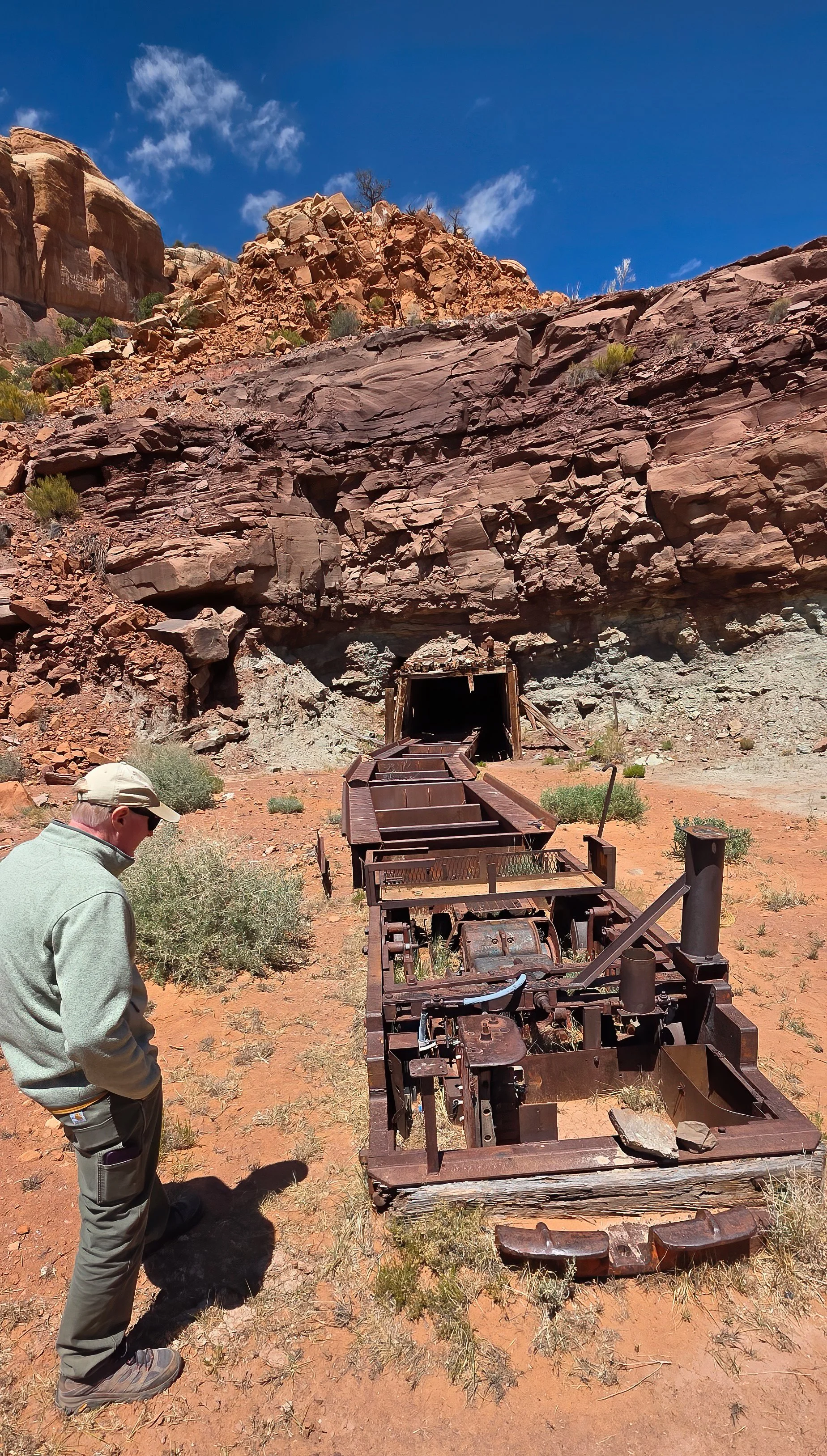
in Crawford State Park, Washington where university students learn cave science and mapping techniques. A former colleague invited me back into service given my long experience and expertise in the subterranean environment, and which turned out to be a thoroughly enjoyable two day-long project with a dozen undergraduate students.
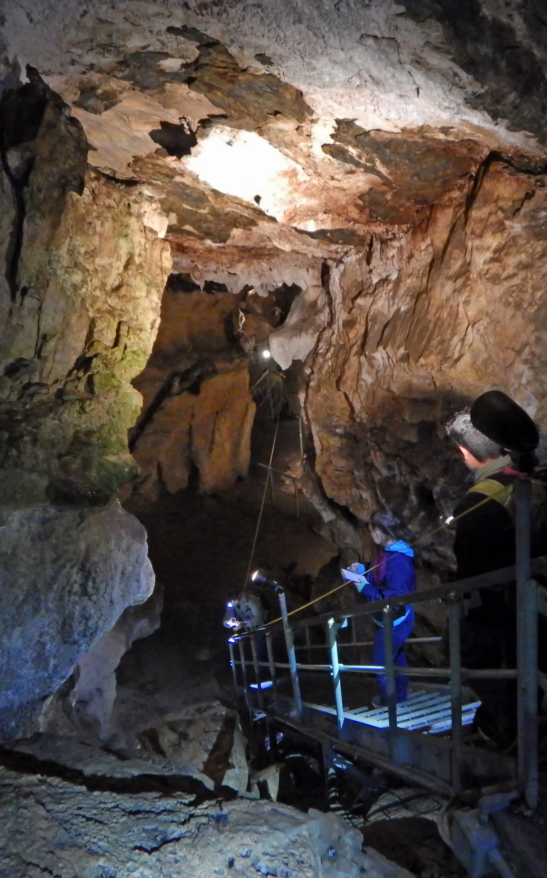
Students learning to survey the illuminated upper part of the cave through which guided commercial tours are offered using tape and compass techniques.
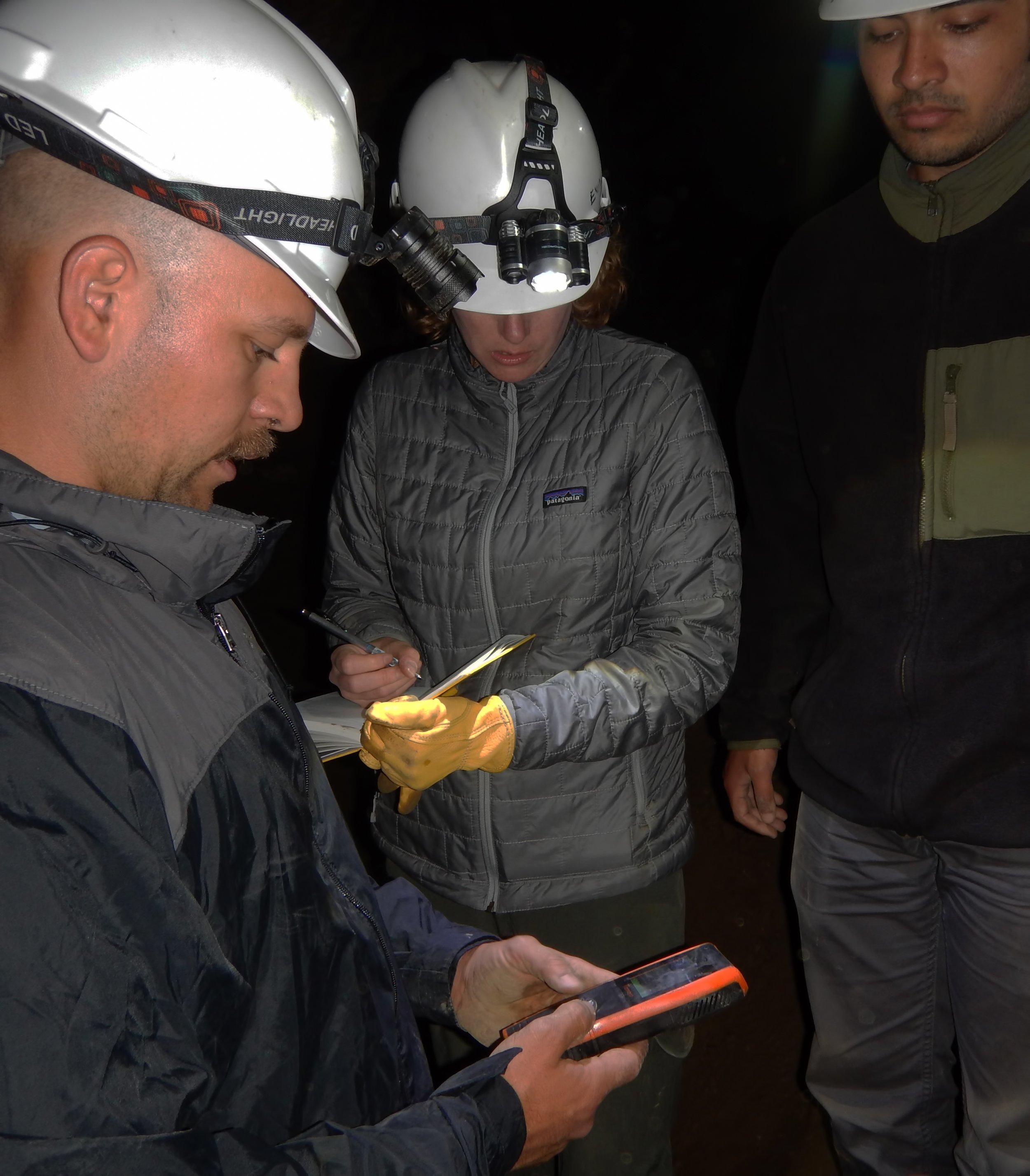
Students recording carbon dioxide concentration in the cavern atmosphere.
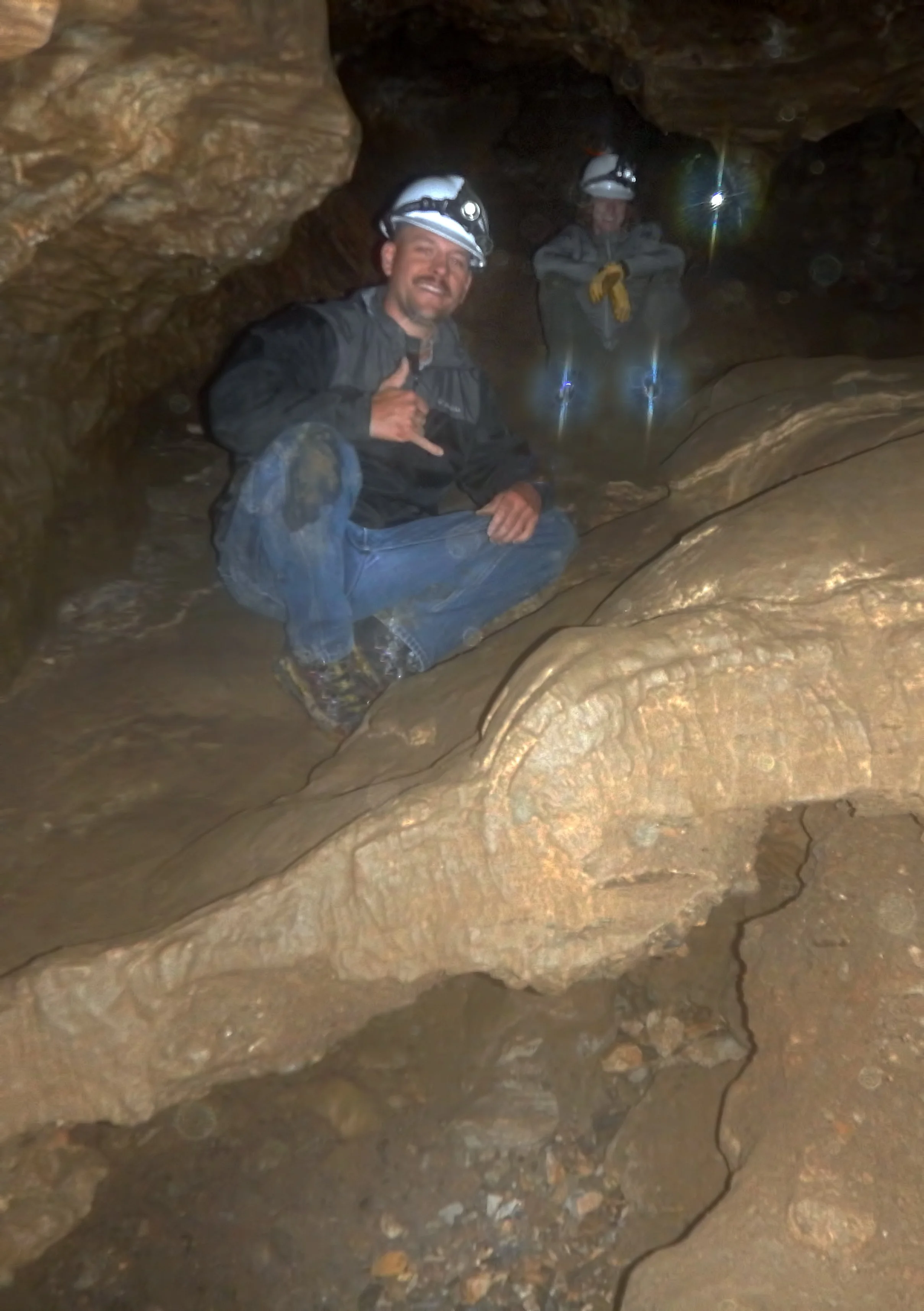
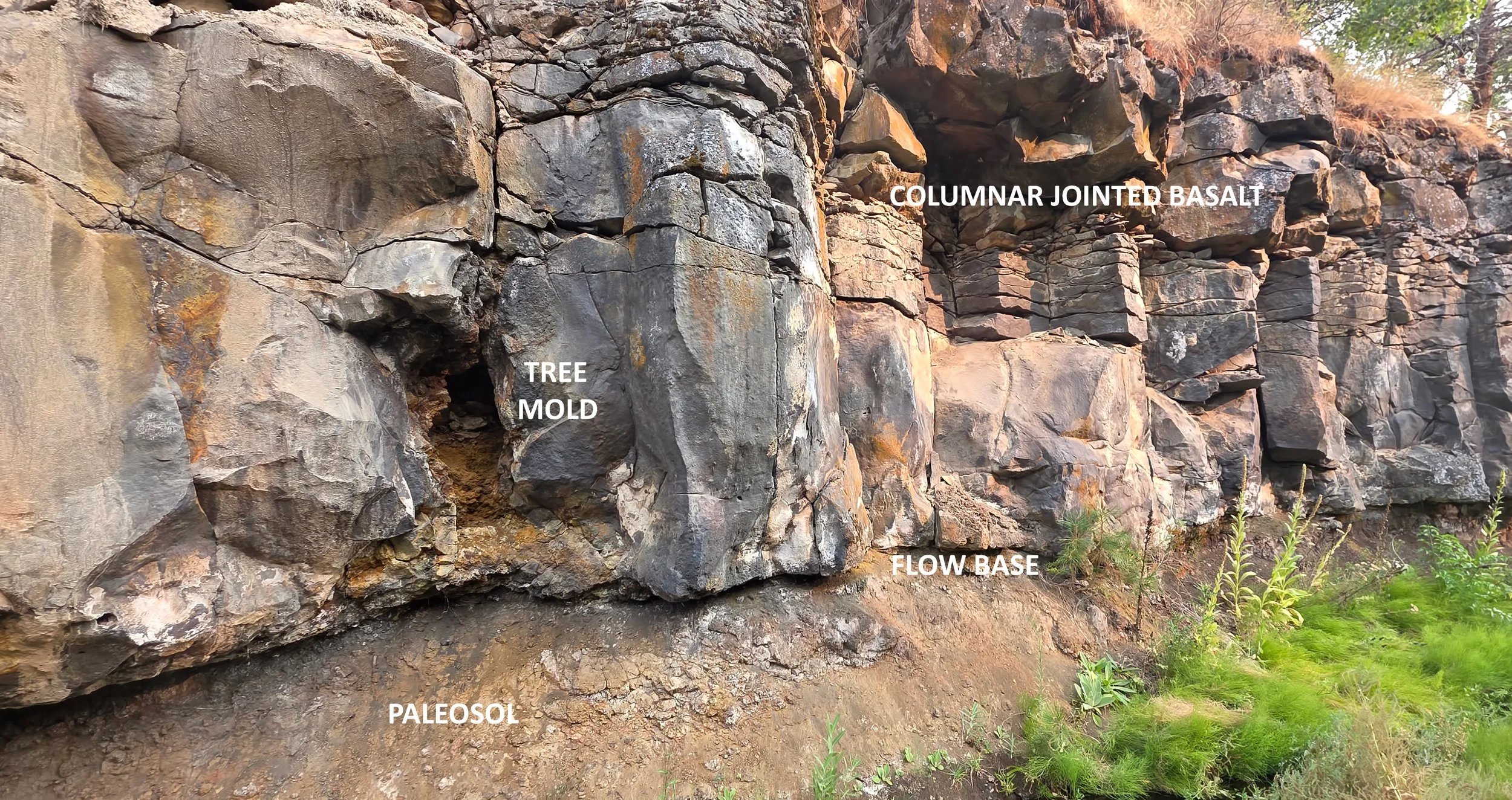
Jazzed students exploring the wild, deeper part of the cave in a steeply descending passage. Note the flowstone false floor spanning sediments of glacial origin that were washed into the cave during the Pleistocene, and now are presently eroding by water flowing into the cavern from the surface.

Closeup view of delicate crystalline rimstone on the floor of the cave. Field of view is about three feet (one meter) wide.