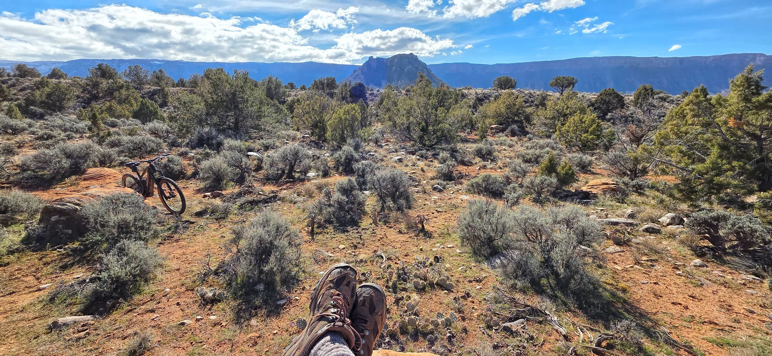
Back in the bike saddle...

again in Castle Valley, Utah with the Trek full suspension e-mountain bike turning 3,000 miles on today’s ride. Since September 2020 the cumulative mileage on all my eMTBs comes to 14,357 miles (23,110 kilometers), or 57.6% of the Earth’s circumference at the equator. I’m feeling a bit like Forrest Gump during his running phase.

Following a historic railroad grade...

southwest of Spokane, Washington, the Columbia Plateau State Park Trail extends for 130 miles (209 km) across the semi-arid Channeled Scablands. Some portion of this trail system is part of my daily ride, usually a section between Spokane and Amber Lake, at its very northeastern end.

Open ponderosa pine forests and seasonal wetland ponds dominate the flat-lying terrain that traverses the 1908 path of the Spokane, Portland and Seattle Railroad.

A typical crowded day on the trail.

Potholes pregnant with rainwater...

from recent thunderstorms spot the slickrock surface at the Moab Brands trail system north of Moab. Here’s a view north into the heart of Utahraptor State Park and the Klondike Bluffs in Arches National Park, and further beyond to the Book Cliffs and Roan Plateau on the distant horizon. A beautiful morning for a long ride in solitude.

Passing another milestone...

on the journey to ride around Earth at the equator, or at least accumulating the equivalent mileage of such an endeavor on my stable of eMTBs. The 3,000 mile (4,800 km) mark was indicated on my Trek Powerfly hardtail during my ride in the coolness of the early morning, putting me at about 70% of my goal.

There's a cool temperature window...

in the early morning when one can still get out and ride on even the hottest days. It was quite the nice 17 mile (27 km) ride this morning, especially with the additional cloud cover, and I call this spot on the singletrack Ephedra Gardens because of all the Mormon tea.

The Kokopelli mountain bike trail...

runs 140 miles between Fruita, Colorado and Moab, Utah. My neighbor and I rode our eMTBs on the segment that mostly hugs the Colorado River between Dewey Bridge and Cisco Landing today, 20 miles out-and-back. It was moderately technical in spots with steep climbs on loose and bouldery slopes, but overall it’s a magnificent ride on a beautiful day.

View upstream with the trail traversing through the ledgy Morrison Formation (Upper Jurassic).

View downstream of the Colorado River, running at about 15,000 cubic feet per second at the nearby Cisco gage.

There are occasional route markers beckoning one to follow the humpbacked frisky flute player.

Carry water!

Slipping into Arches National Park...

on the loveliest of spring days, my neighbor and I rode our eMTBs on the original entrance road - Willow Springs Road - a 20 mile (32 km) out-and-back from the highway. The nicest day of the year, so far.

Balanced Rock and the snowy La Sal Mountains. Look closely for Turret Arch in The Windows.

Eye of the Whale Arch. What a crazy landscape this is!

The best day of riding...

so far this year, with trail conditions being nearly perfect, coupled with sunny skies, calm winds and temperature ~ 50° F. I managed two outings today, 17 miles (27 km) in the morning on the RadRover 5 and 14 miles (22.5 km) in the afternoon on the Trek Powerfly (with about a 2,800 foot (853 meter) cumulative ascent). Fantastic and energizing day!