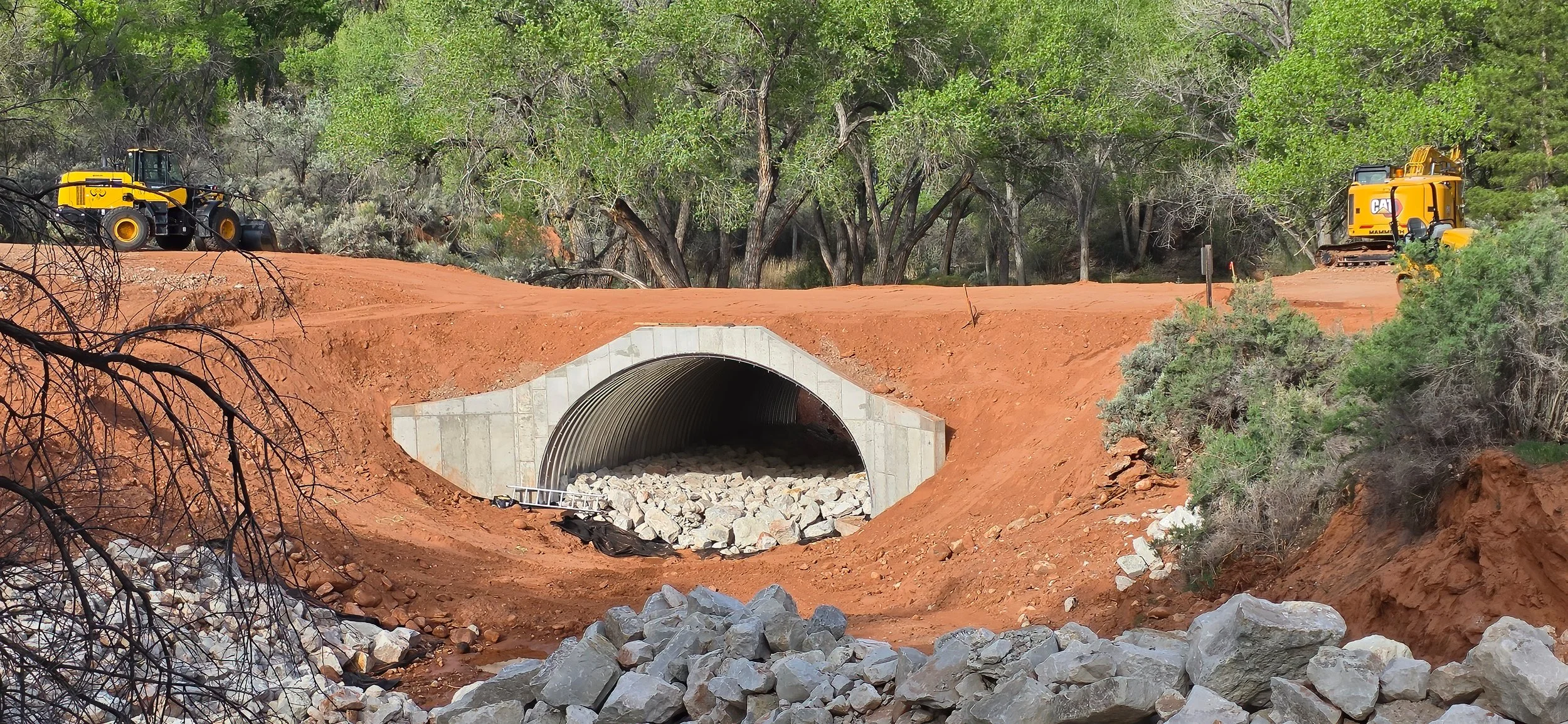
Sediment aggradation will almost certainly occur...

in the ephemeral stream channel upstream of the newly installed concrete ford in Placer Creek, rather than being continuously transported across the structure when the stream is flowing. Engineers should have matched the elevation of the stream bed rather than maintain the road grade at the crossing. While this structure isn’t going anywhere in future floods, it will require maintenance after each event in clearing accumulated sediment, in perpetuity. It could have been self-maintaining, so let’s see how it performs over the next decade.

The brand-spanking-new $188,889 mega-concrete stream crossing structure on Placer Creek at the entrance of Round Mountain State Park.

A mild autumn season...

comes to a close in three days on the winter solstice and the extended forecast is for continued dry conditions with moderate temperatures. The Old Farmer’s Almanac is predicting that “precipitation and snowfall will be average or above average throughout the Intermountain Region. The snowiest periods will fall in mid-November, early and late January, and mid-March.” We shall see.

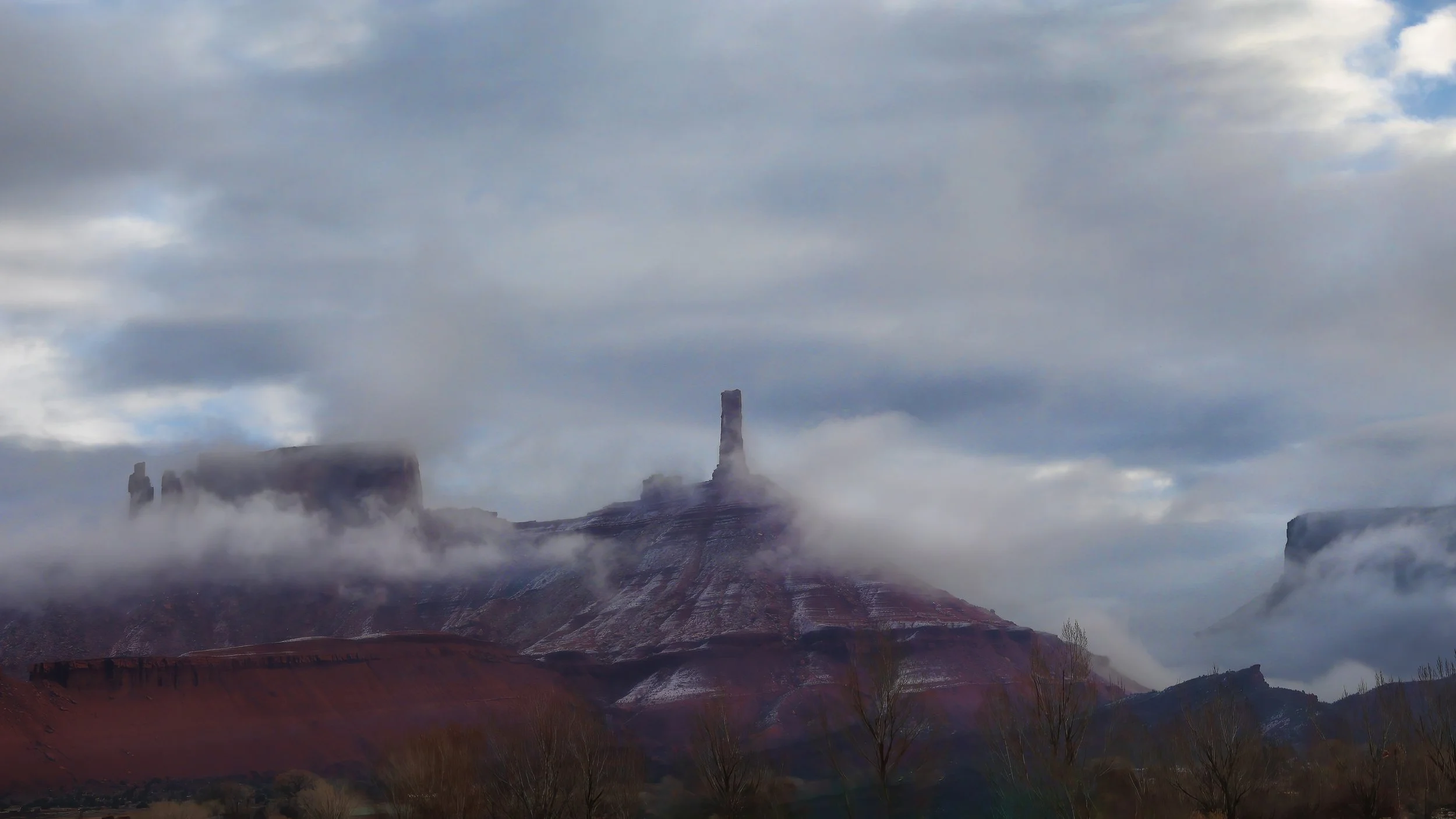
Another vibrant sunrise this morning above the La Sal Mountains. It’s good to be a morning person.

The snow water equivalent in the snowpack has flatlined since late-November, now just 121% of median.

The Culebra Cut of Castle Valley...

is being excavated at the Placer Creek dry stream crossing. Methinks this is a grossly overengineered and expensive solution to an erosion problem that no longer exists, but that’s just 40+ years of experience as a fluvial geomorphologist talking.

Meanwhile, elsewhere in the community, the drainage ditches that are choked with sediment from summer flooding go largely unattended. Pure negligence.

These enormous imbricated boulders...

were certainly moving as bedload in this ephemeral wash below Adobe Mesa during the flash flooding events this summer. Here they now sit, shingled on top of one another, likely stranded for a decade or more until mobilized in the next extreme hydrologic event in this drainage.

As artificial as the sky and cloudscape appears in this image, it was that lovely of a day in Castle Valley.

The footprint of flood impacted areas...

throughout Castle Valley is clearly seen in the recently updated satellite imagery available in Google Earth and Google Maps. Light-colored sedimentary deposits paint the areas affected by overland sheet-flooding and where floodwaters escaped ditches and natural channels. Compare and contrast.

Imagery date: 7 August 2024.

Imagery date: 14 October 2022.

Hint: Learn to use the time slider tool in Google Earth to time travel into the past and examine earlier satellite imagery.

Episodic scouring and filling...

of the steep gradient, coarse-grained and ephemeral Placer Creek channel through time, coupled with headcutting by knickpoint migration through the stream crossing, has created a challenge in upper Castle Valley for road maintenance. Compare and contrast the conditions that existed five years ago and today.

Placer Creek crossing on 1 May 2019. Note crushed culvert and concrete on downstream side of roadway. By attempting to maintain this knickpoint in the stream profile for the long term only exacerbated the erosion that eventually occurred here.

Placer Creek crossing on 30 June 2024. Significant scour has deepened the channel once again. The knickpoint has migrated upstream and behind the two large boulders on the left.

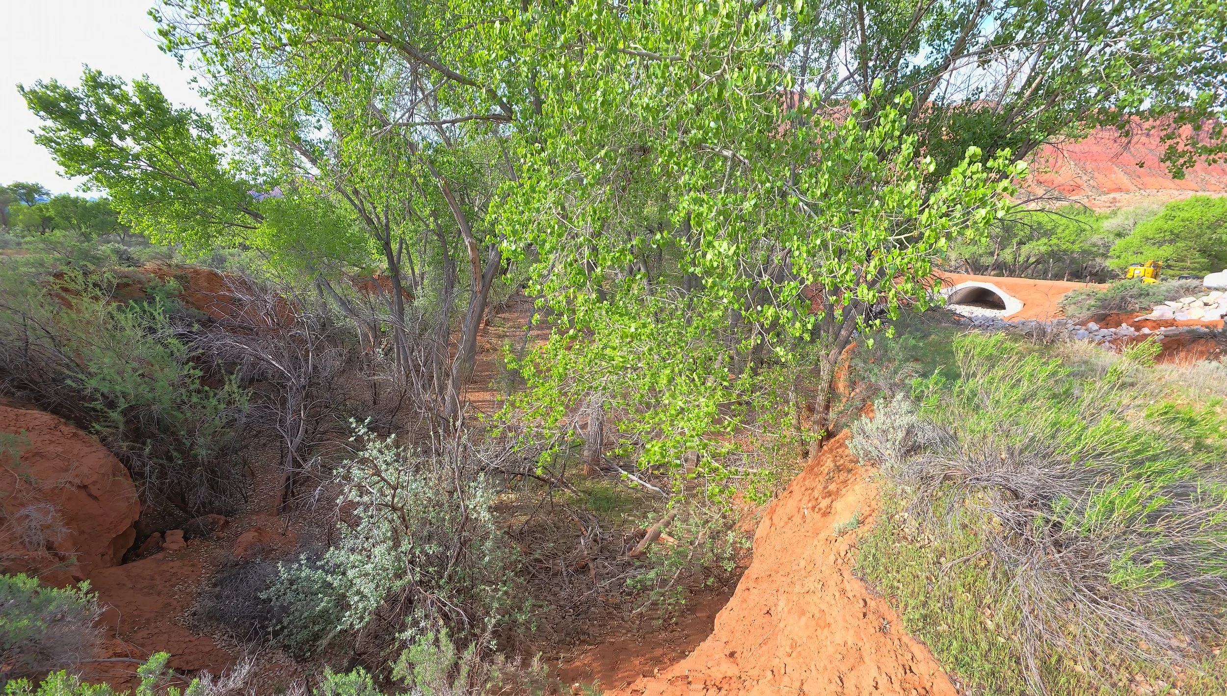
The road crossing is now graded to a more stable position in the short term, at the same elevation of the stream channel both upstream and downstream, now that the knickpoint has migrated upstream and no longer occurs right at the crossing as seen in the early image.

View upstream showing the knickpoint in the stream channel that will continually erode upstream with future events.

Flash flooding in Castle Valley...

occurred late this afternoon in response to an enormous storm cell that passed over the valley dropping about a half-inch of rain in less than an hour on hard-baked soils. Overland flow and sheet-flooding began immediately and ditches ran at full capacity along roadways for more than an hour. The National Weather Service did post both flash flood and severe thunderstorm warnings for the region and the last time an event this intense occurred was around 2010.

Peak runoff down the lane occurs as the storm cell moves eastward, with both roadside ditches running at full capacity. But a rainbow appeared and no personal property was damaged.

The low swale on the east side of my property took some runoff and sediment from small breaches in the berm along the roadside ditch.

UPDATE: The morning after in the mud bowl as the Town’s grader gets to work. There’s a lot of ditch maintenance that needs to happen beyond just clearing debris from the road surfaces.

Peak flow on the Colorado River...

for this runoff season will certainly occur this week, and here it is running at 20,700 cubic feet per second (cfs) around noon near Moab, Utah. While this sounds impressive, it is less than half the peak discharge of the previous water year. Median peak flow is 20,100 cfs based on 105 years of record at the Cisco gage so this is a normal year.

The point of legal diversion...

of Castle Creek where most of the streamflow is routed into a sluice which then enters a 1.8 mile-long (2.9 km) pipe and is ultimately delivered to a farm’s irrigation headworks lower in the valley. The natural river channel is mostly dry for the next two miles until the point where excess water is returned to the creek.

Two observations: 1) It’s not exactly a healthy riparian system, and 2) blue tarps have limitless applications.

View upstream.

View downstream with the natural channel of Castle Creek off to the right.

Winter is hanging on...

in the high country with the La Sals completely immersed in a huge snow squall.

One week past the historic median peak, based on more than 40 years of record in the La Sal Mountains, the SNOTEL network reports there is 129% of the median snow water equivalent in the snowpack. Most excellent.

Slow and lingering late winter storms...

maintain the snowpack in the high country at near normal levels while misting the lower valley with light rains. Springtime approaches in the high desert.

A window to the snowy high country opens behind Round Mountain this afternoon.

Lasal Mountain (572) SNOTEL hydrograph: Black line indicates the current water year snow water content, closely following the median value (green line) based on 41 years of record at this station. Last year’s historic snowpack is represented by the purple line for comparison. (Graph from NCRS SNOTEL network.)

17 March 2024 update: This SNOTEL station now reports 119% of median SWE!

Swept into position by debris flows...

and sitting patiently for millennia, this pair of 1.5+ meter diameter sandstone boulders lie on an old alluvial fan surface below Round Mountain. These enormous clasts were likely entrained in a viscous slurry of water and sediment that moved down the steep topographic gradient, perhaps mobilized by an intense rainfall event, countless centuries ago.

And it was a beautiful - but blustery - day for a ride.

A significant dusting of snow...

dresses the high country in the La Sal Mountains in the wake of the first real winter storm of the season, with thee to six inches of accumulation being reported at the SNOTEL sites. It will be interesting to see what this winter brings after last year’s record breaker.

Click on image to enlarginate.