An alkaline spring...

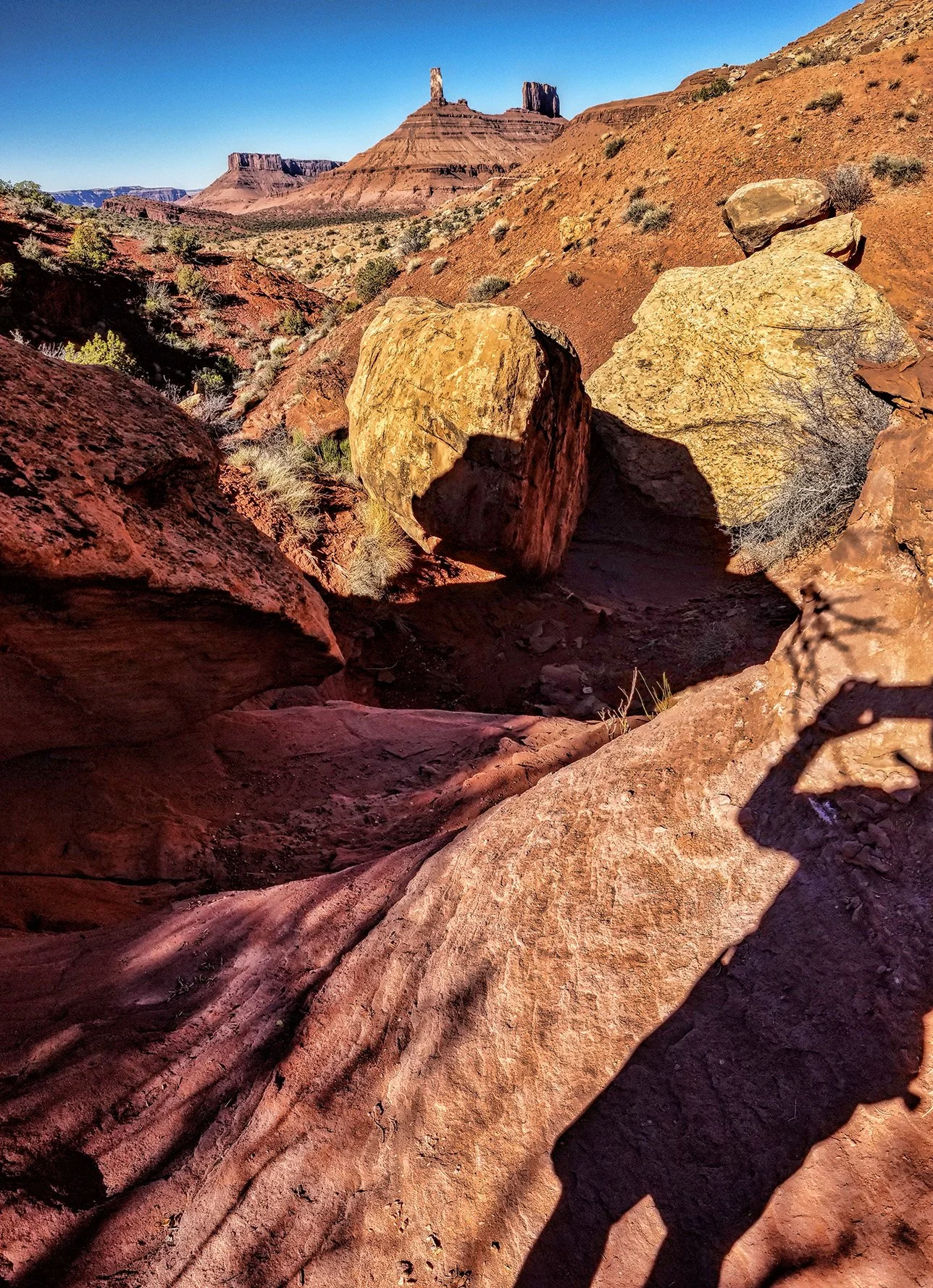
discharges from the basal contact of the Moenkopi Formation with the underlying Cutler Formation somewhere within this rockfall at the head of the drainage that I am exploring today.

Within this brushy thicket and rockfall at the base of Adobe Mesa, alkaline groundwater surfaces from the Moenkopi Formation. Note the white soils on the left foreground.

About 10 liters per minute flows in the main channel below the discharge point, incised about three to four meters below the alluvial terrace.

Carbonate precipitate on vegetation and soil surfaces in the area are also evidence of the alkaline nature of the spring.

My GPS track superimposed on Google Earth imagery. The spring is located at the highest point in the drainage, in the area of brighter vegetation.

Bouldery bed of Castle Creek...

has its headwaters in the La Sal Mountains but only flows during spring snowmelt and flash flood events. But when it contains water it is very capable of moving large clasts down the steep channel gradient.

View upstream in the Castle Creek channel showing a mix of sedimentary and igneous plutonic clasts.

View of alluvial deposits in the bank of Castle Creek below Adobe Mesa. My black bike helmet is near the center of the image for scale. Note the imbrication of many of the larger clasts, with a distinct upstream-dipping direction to the right.

Alternative technology...

for broadband wireless transmission of the Interweb into our remote rural community. But I’m quite happy with my zooming fiber optic connection to the digital world with Emery Telcom.

River Canyon Wireless repeater station in Castle Valley, Utah.

Surprising day of discovery...

in my backyard as I pioneered a new adventurous hiking/canyoneering route in Castle Valley. I’m keeping this specific location a secret.

This huge balanced rock is found at the high point on the walk, with the pedestal being about two meters high on the right side.

Trace fossils...

belonging to the Scoyenia ichnofacies seen on the underside of this sandstone slab, consisting of the casts of tracks/trails and shallow horizontal burrows in the Permian-age Cutler Formation in Castle Valley, Utah. I’m coming back for this on a sample return mission on my eMTB tomorrow.

UPDATE: Grabbed the nice specimen this afternoon, and now it’s in the rock garden.

Sweeping view of Porcupine Rim...

along the axis of Castle Valley, from the high La Sal Mountains to Parriott Mesa, from the tiny town of Castleton (far distant left) to the community of Castle Valley (far distant right).

Click on image to enlarge.

View south toward Round Mountain, with the tip of Adobe Mesa in the upper left.

View toward the northwest showing the town of Castle Valley.

The most scenic dump...

in America is the Moab landfill, at least according to a 1986 Outside magazine contest. And here it is, shortly after sunrise this morning in its stunning panoramic beauty, captured as I went about today’s chores.

The Sand Flats and the famous Slick Rock Trail lay atop the sandstone mesa in the center, with the distant snow-capped La Sal Mountains appearing beneath the rising sun. That’s my 1986 Toyota 4Runner that will not die left of center of the image. (Click on image to enlarge.)

The runner-up, in case you’re curious, was Kodiak, Alaska. And they have big bears.

Happy Birthday Earth!

James Ussher, Archbishop of the Church of Ireland, established the time and date of the creation as the “entrance of the night preceding the 23rd day of October 4004 BC.” Well, okay then.

The largest tree in Utah...

is this Fremont’s cottonwood (Populus fremontii) that heralds one’s arrival into our rural community outside of Moab. Read the account of establishing this tree as the state champion in a 2016 article penned by our local scribe in the Castle Valley Comments.

castle valley fremont cottonwood champion wide.jpg

The woody behemoth on a beautiful autumn afternoon, estimated to be more than 130 years old.

castle valley fremont cottonwood champion tall.jpg

This tree is even highlighted as landmark on Google Maps. It’s big!

X marks the spot...

above Castleton Tower this morning, targeting Castle Valley for chemtrail application today.

x chemtrails.jpg
Afternoon update:  You thought I was kidding.  I got sprayed during my ride near Round Mountain.

Afternoon update: You thought I was kidding. I got sprayed during my ride near Round Mountain.