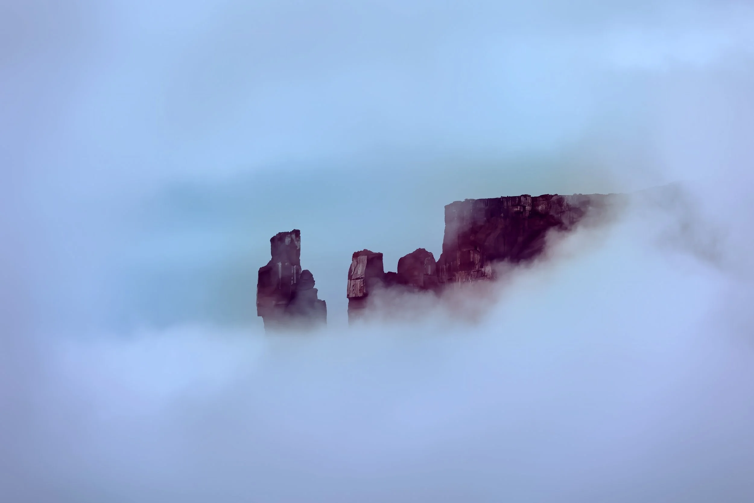
of Common Ravens in Castle Valley this year, or so it seems.
Common Raven (Corvus corax).
of Common Ravens in Castle Valley this year, or so it seems.

Common Raven (Corvus corax).
on the mountain bike trail system during a magnificent autumn afternoon in the high desert.
Red beds of the Dewey Bridge Member of the Carmel Formation (Middle Jurassic (174.1-163.5Ma)) share a sharp contact with the underlying cream-colored Navajo Sandstone (Lower Jurassic (201.3-174.1Ma)). (Click to enlargenate.)
on the new Trek Rail+8 on the singletrack in upper Castle Valley this afternoon. Perfect place to accomplish this milestone. It’s good to be back on Mars.
The view over the handlebars. Click to enbiggen.
UPDATE: This puts me at 72% of the distance of the Earth’s circumference at the equator (since September 2020)!
at sunset this evening, while Adobe Mesa glows warmly in the east.


on a dreary and drippy day in Castle Valley where nearly 1.5 inches (38 mm) of welcome rain has fallen during the last several days.
of the common stinkhorn fungus is presenting itself right on schedule, triggered by autumn rains.

Common stinkhorn (Phallus impudicus).

Another emerges the day after a gentle rain.

Insects are attracted to the foul smelling head where the spores are contained.
the replenished feeding stations while the rock squirrels enjoy the bath.
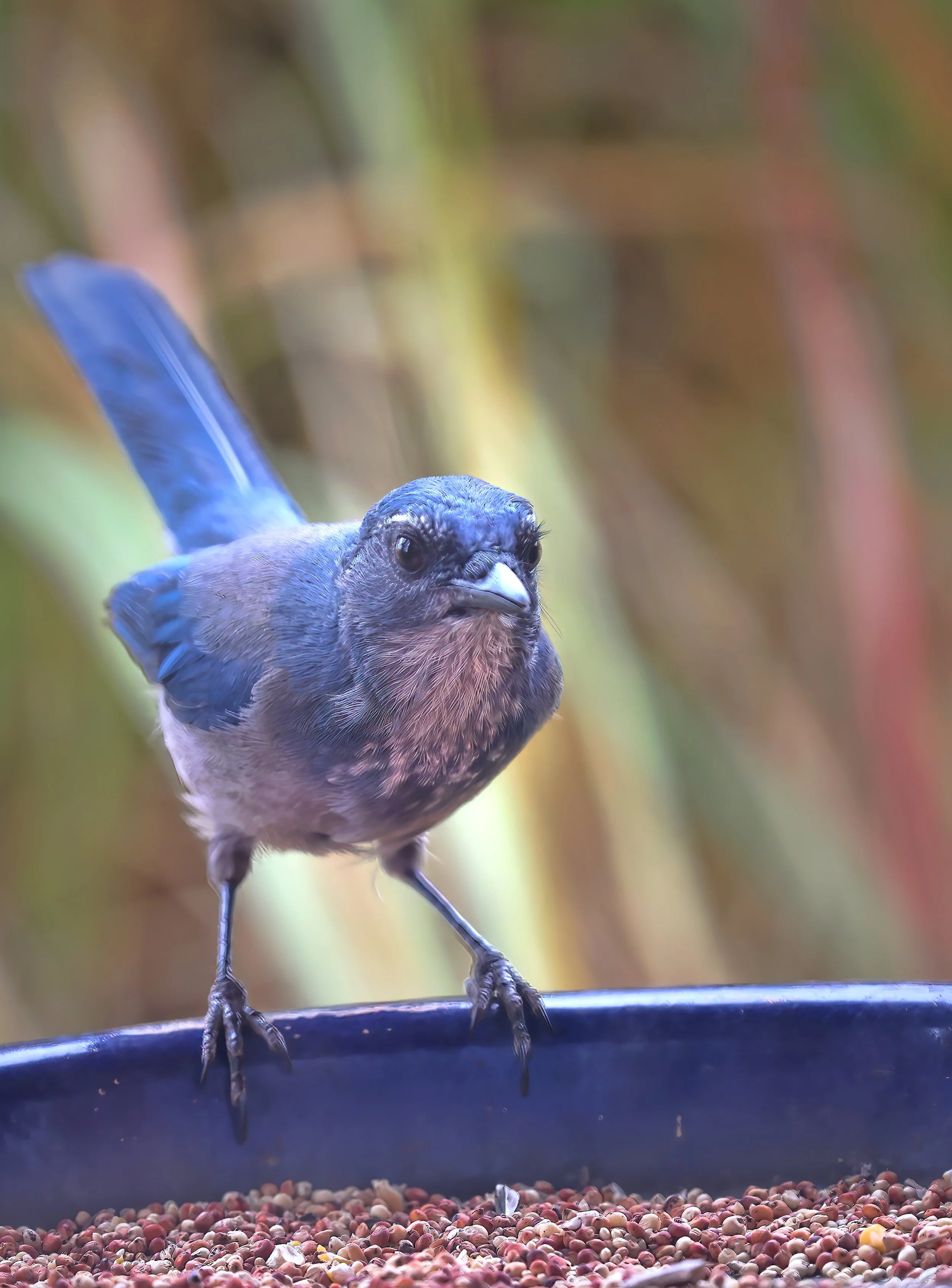
Western scrub-jay (Aphelocoma californica).
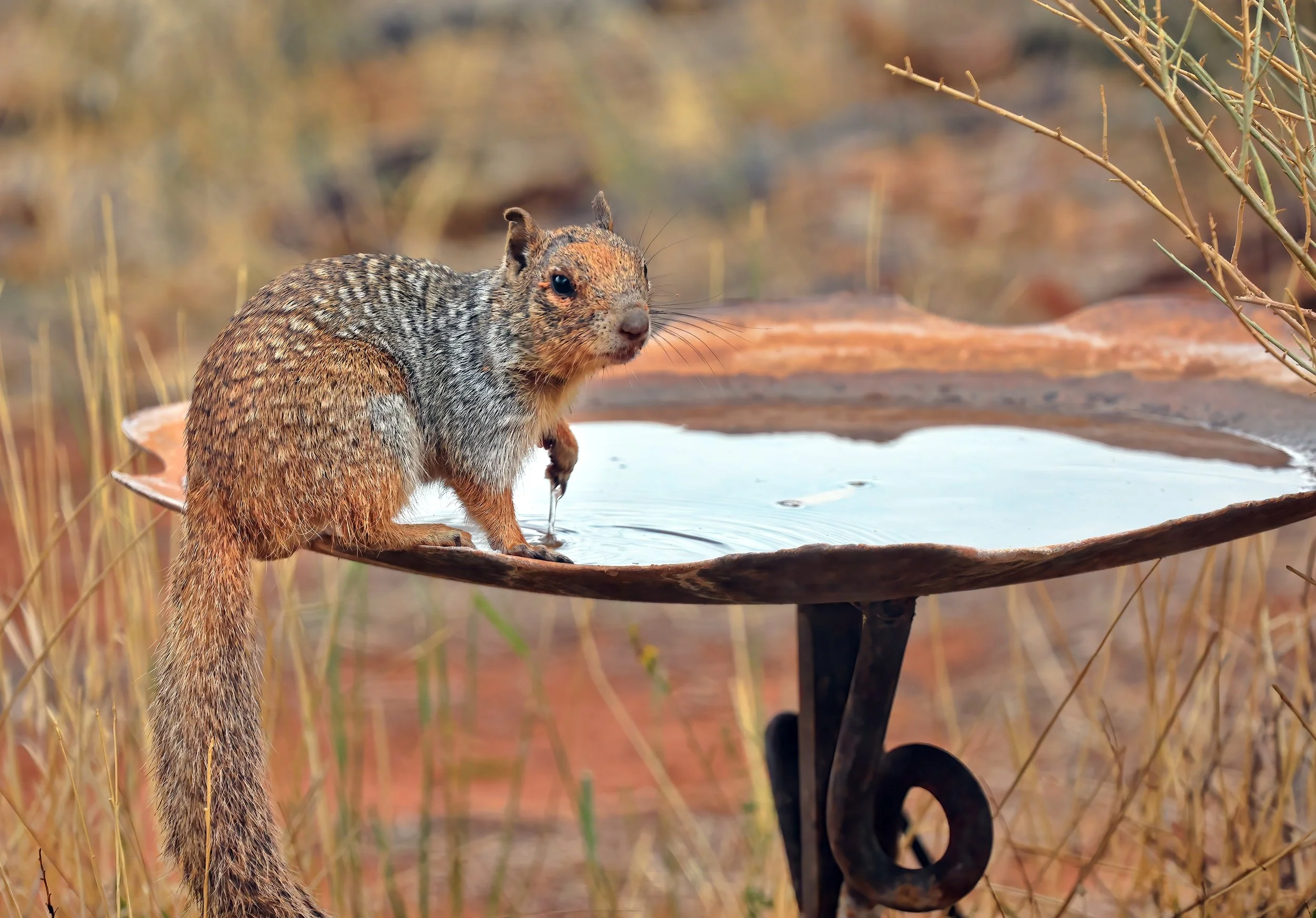
Rock squirrel (Otospermophilus variegatus).
from a sandstone slab as the sun sets.
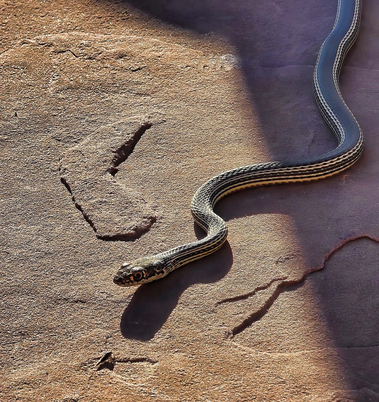
Striped whipsnake (Masticophis taeniatus).
on Parriott Mesa for the first eight months of the year advises a new sign at the trailhead to the mesa top. How ironic that one shows up off season?!


above Adobe Mesa this evening, this year’s first supermoon, appearing slightly larger and brighter than usual.

is dusted with the first snow of the season on a stormy afternoon. A violent 6.9 magnitude earthquake occurred in the Lost River Range on 28 October 2983 and created a 21 mile (34 km) long fault scarp at the foot of the mountain front.
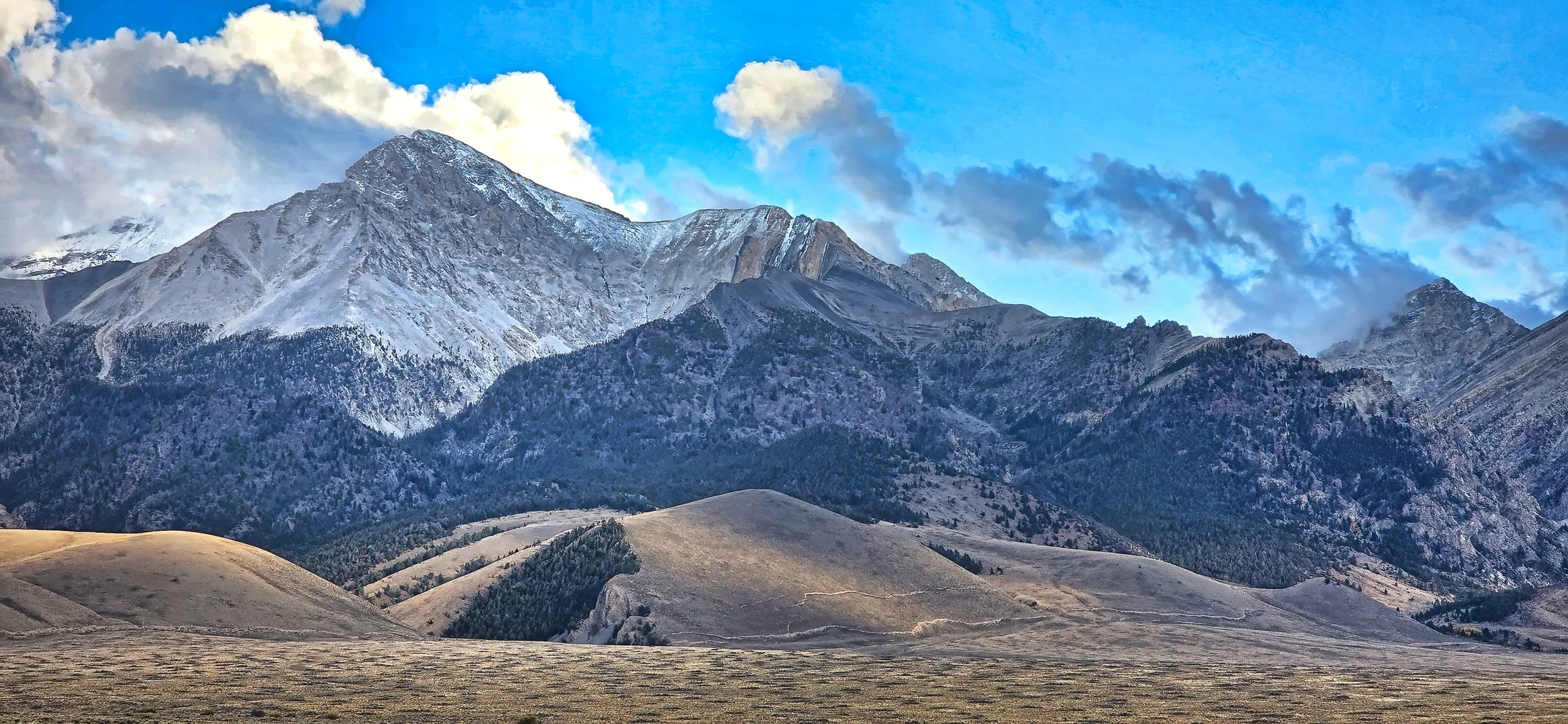
Borah Peak (12,662 ft (3,859 m)). Note the prominent fault scarps at the foot of the lowermost slopes created during the 1983 earthquake.
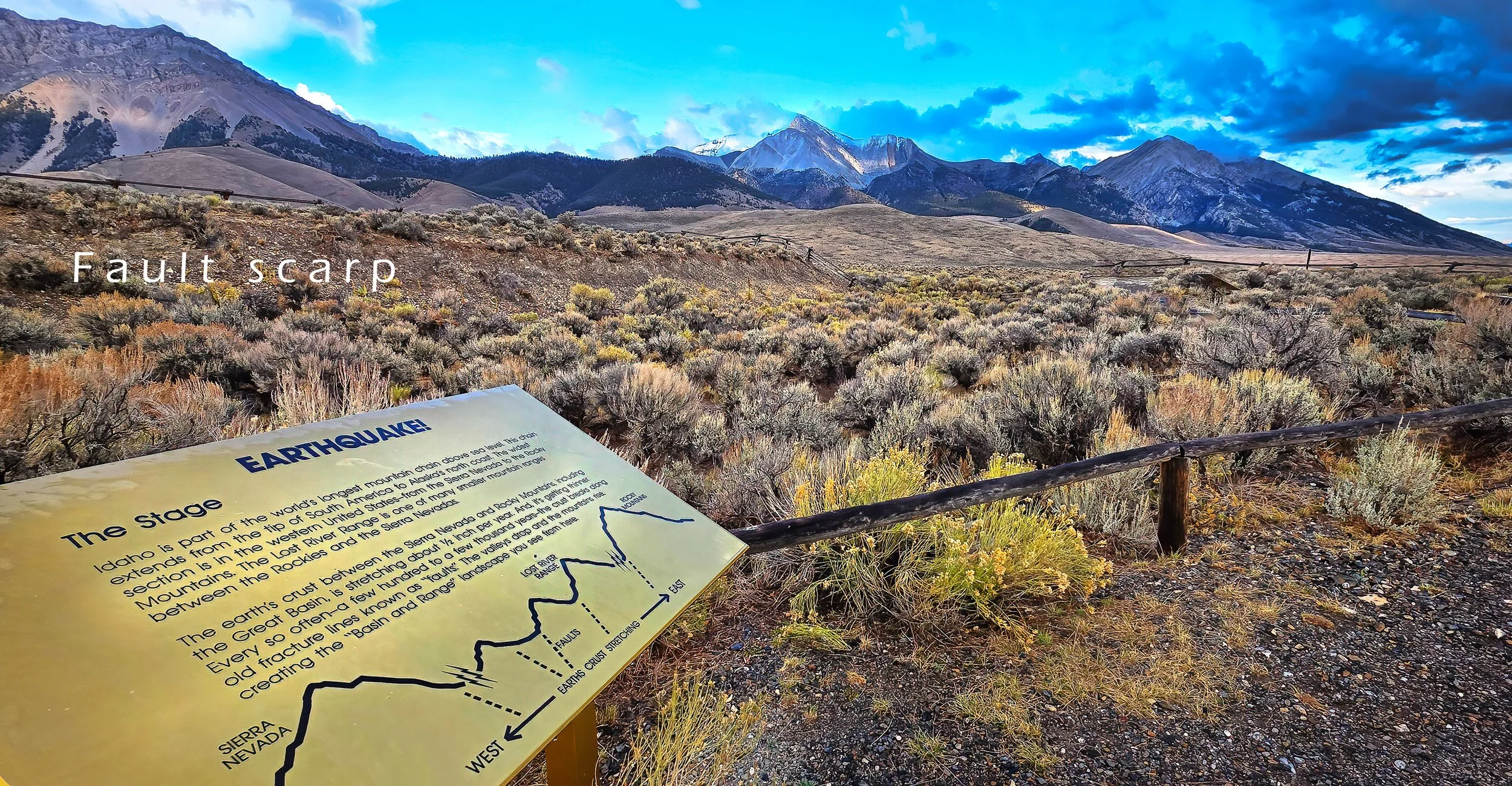
US Forest Service interpretive site along a fault segment created during the 1983 event. Borah Peak is at the center skyline.
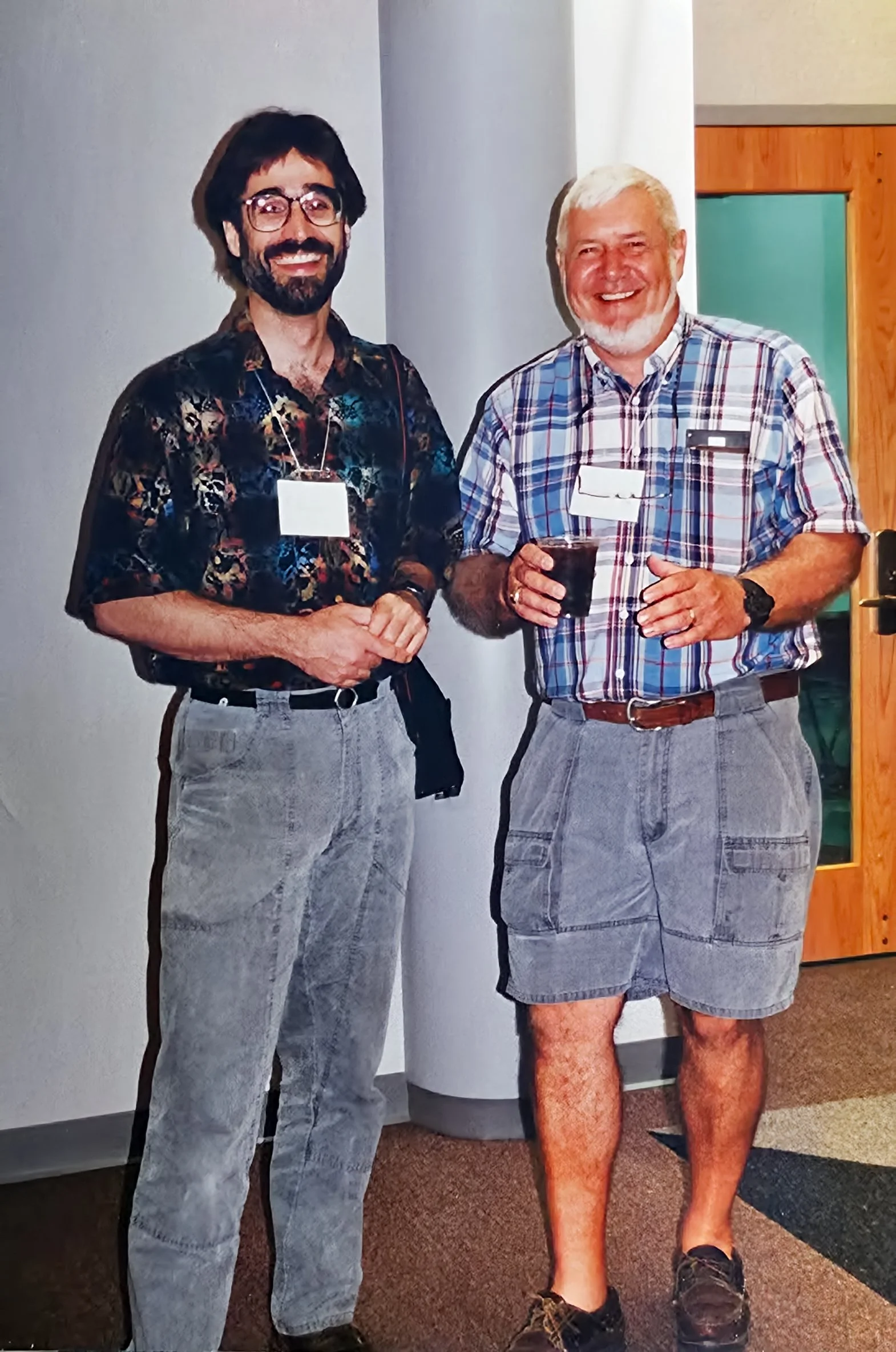
stoked my early interest in geology and, next to my parents, Ellis Underkoffler is clearly the most pivotal person in my early formative life. Here we are, now years later, at a regional meeting of the National Association of Geoscience Teachers, Ellis having invited me to deliver the keynote address at the conference highlighting my adventurous cave research in Central America. It was a fun reunion. Inspiring teachers are important!
by a young buck in the back yard.

Mule deer (Odocoileus hemionus).
are better to see you with.

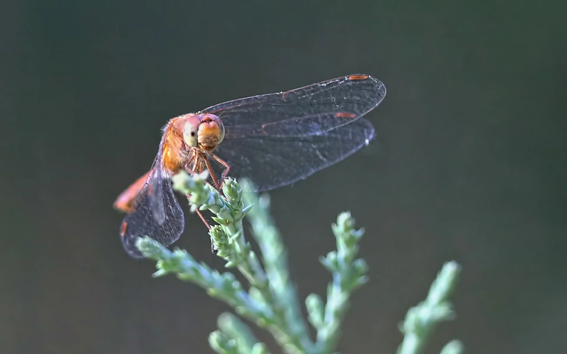
Unidentified dragonfly.
first appears in the rock record about the time of the dinosaurs - Early Jurassic (201.3 - 174.7 Ma) - and it persists on the landscape today and is known by a variety of common names.

Horsetail (genus Equisetum).
of me fracturing my femur and requiring a hip replacement passes with hardly a notice, other than it being memorialized on my calendar on this date. Since then I’ve biked more than two-thirds of the circumference of the Earth, so it seems to be working well.


according to this ancient and rusty 3M Company sign along a state highway in eastern Washington. Indeed.

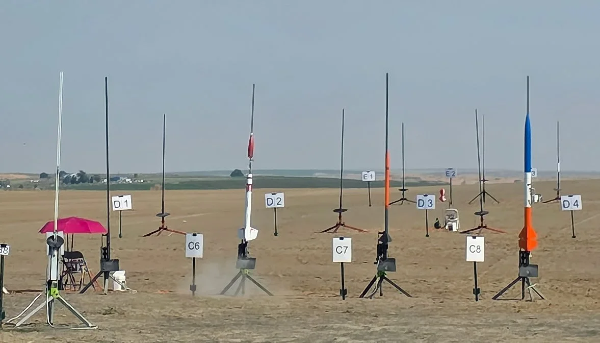
for me with two failed launch attempts due to a bad batch of Aerotech G80-7T rocket motors. One exploded in the rocket, failing to properly ignite the propellant and ejection charge, though there was no damage to the rocket body due to its robust fiberglass and epoxy construction.
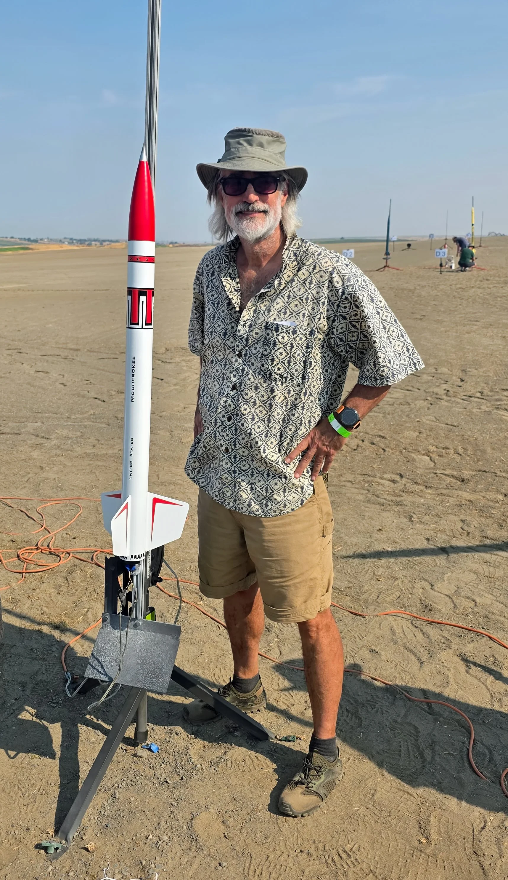
Cherokee and me, prior to launch at the sod farm on a hot and hazy day.
Three…two…one…chuff! The Wildman Cherokee on rail C6 at moment of ignition failure which pressurized the rocket body and popped off the nose cone.
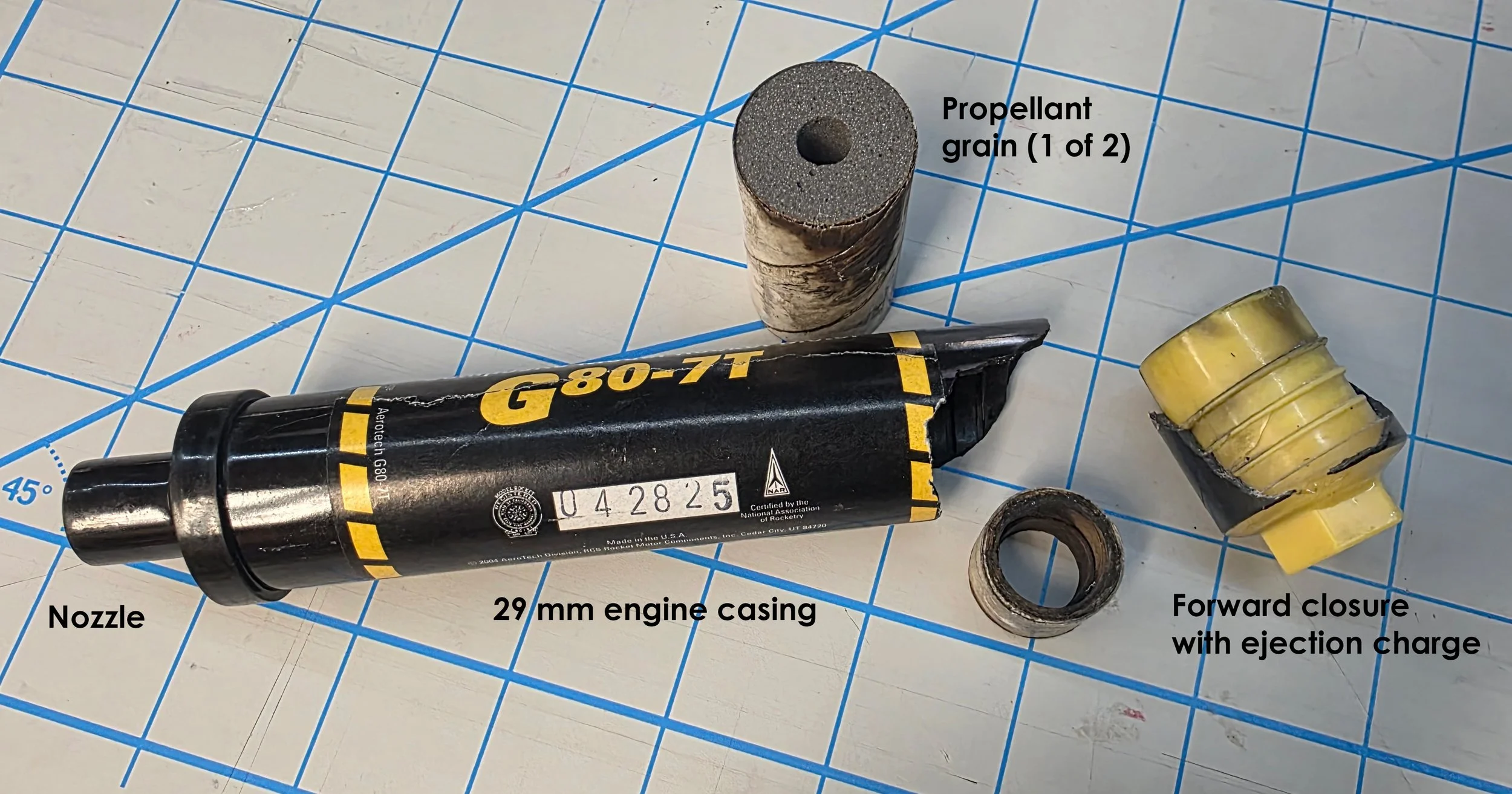
Cracked engine casing showing one of the two unignited propellant grains. The yellow forward closure contains unignited black powder of the ejection charge. Both failed motors are stamped with the same date/batch number.
is about 27 degrees to the horizontal as demonstrated by these piles of grain outside an elevator. This critical threshold describes the maximum stable slope that a dry, loose granular material can assume and is primarily a function of the grain size of the material involved. This concept is employed by geologists when assessing the stability of natural slopes.

Grain elevator near Ritzville, Washington. It’s been quite a good yield despite the dry conditions this year in the Columbia Basin.
dimple the eastern Washington landscape, so-called Mima mounds, where geologists have proposed multiple hypotheses in order to explain their puzzling origin. They seem to be relic features not being formed today, so I favor the periglacial origin, similar to the mechanism that creates patterned ground in Arctic regions.
Wide view of Mima mounds in Turnbull National Wildlife Refuge. Click on image to embiggen.
The low areas between the mounds often contain vernal pools of shallow water in late winter and early spring. Click on image to enlarginate.