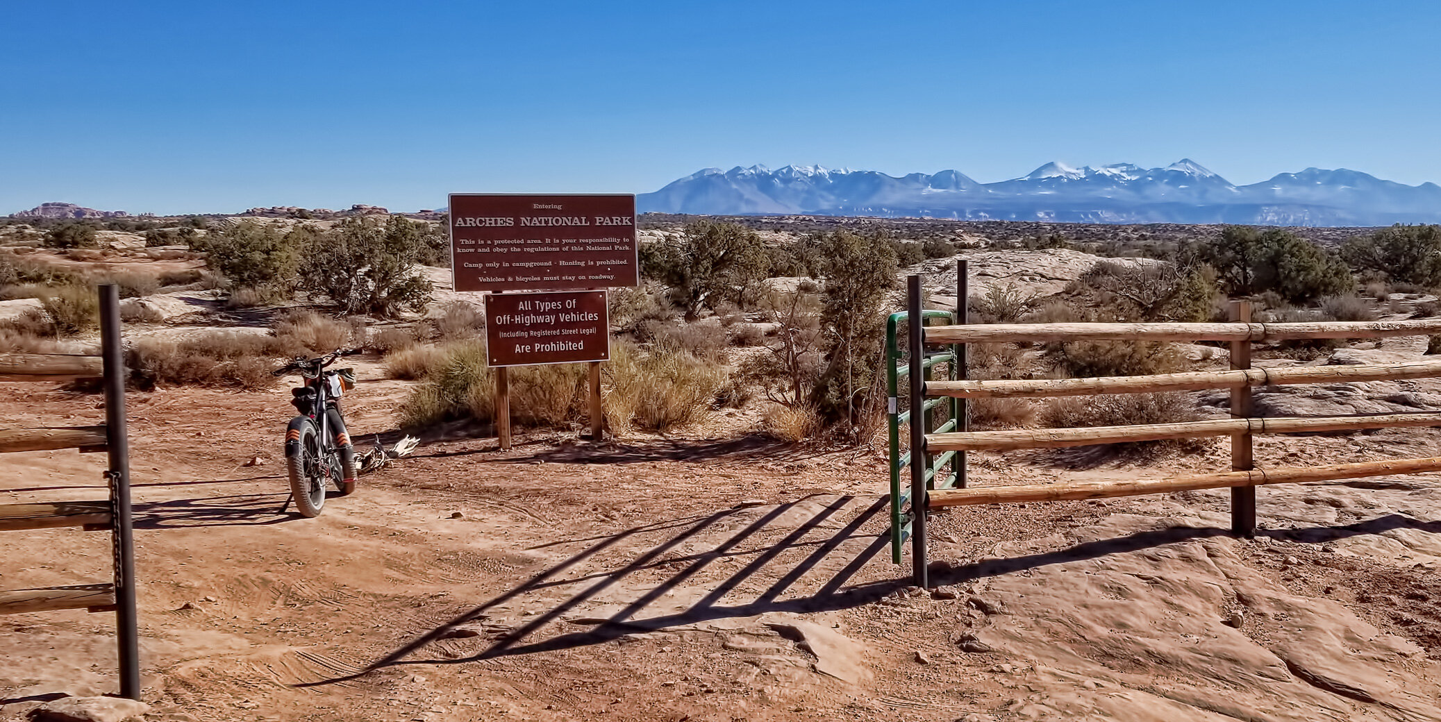
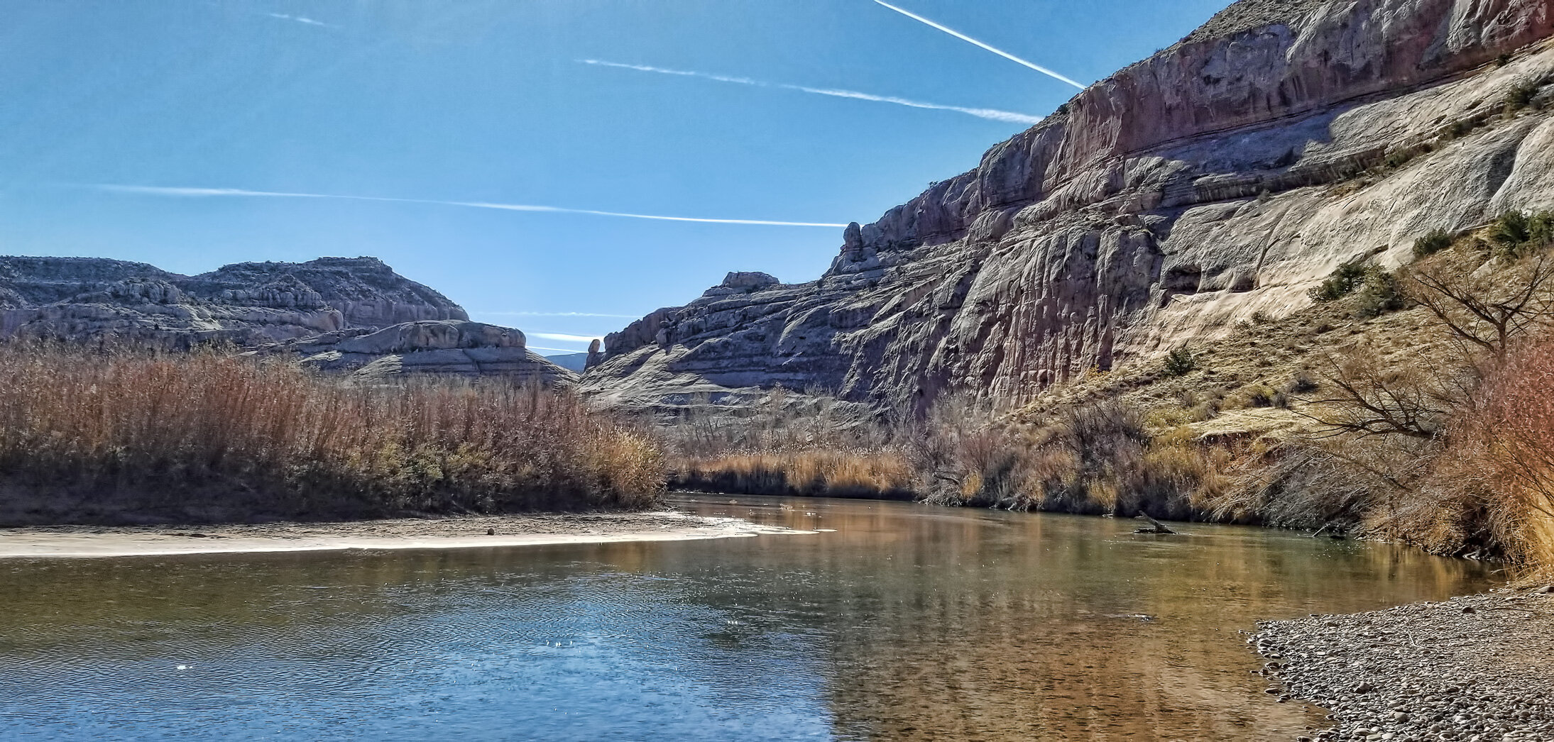
near Moab, Utah has always struck me as an appropriate set for the old science fiction television series The X-Files given its remote location and peculiar appearance. The salt mining operation spans about five square miles adjacent to the Colorado River where the water is utilized to solution mine the salts below ground contained in the Paradox Formation (Permian).

Image of solar evaporation ponds at Potash, Utah, taken by an astronaut aboard the International Space Station in 2017. NOTE: North is toward bottom of image.

My 16 mile ride today, out and back, in red, from the Intrepid Potash processing plant to the solar evaporation pond complex. The blue track is from a prior ride last week in Dead Horse Point State Park.
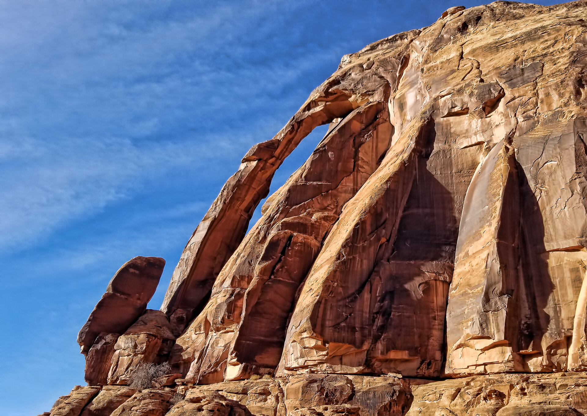
Jug Handle Arch in the Wingate Sandstone on Potash Road, just before arriving at the mine site downstream from Moab.


Potash solar evaporation pond 1 A. (Click image to enlarge.)
Potash solar evaporation pond 3 B. (Click image to enlarge.)
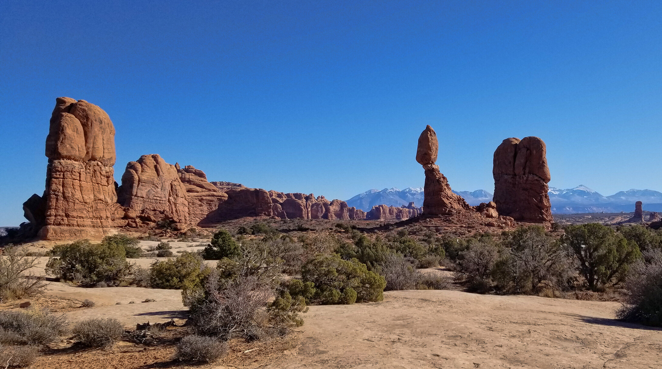
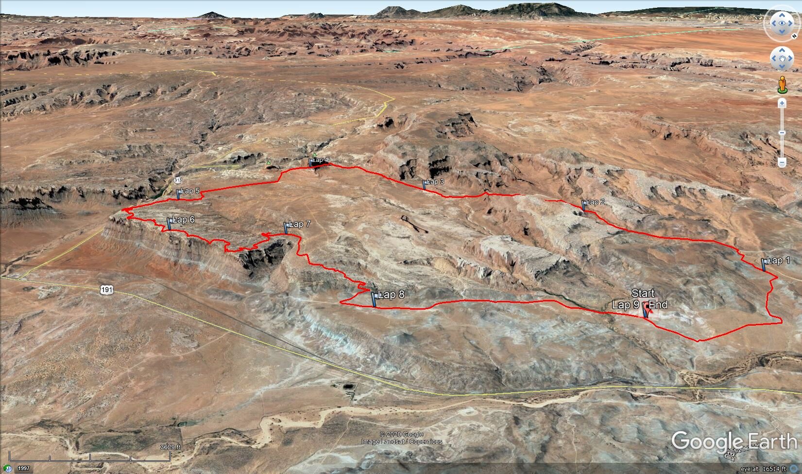
View across crest of the Kane Creek anticline with the majestic La Sal Mountains lightly draped in early winter snow. (Click image to enlarge.)


Here’s the corporate website for Intrepid Potash if you want to learn more about their operations and products, and a brief explanation at NASA’s Earth Observatory website.