along my bike ride yesterday on the well-named Entrada Bluffs road east of Dewey Bridge, Utah.

Here’s the GPS track, 17 miles with 2,100 feet of elevation gain, starting at Dewey Bridge on the Colorado River, down to the Dolores River, then to the intersection with Top of the World trail, and return.

Close-up view of the track which is largely following the Navajo - Entrada contact much of the way.

The Slickrock Member of the Entrada Formation (Jurassic), consisting of thick crossbed sets reflecting a nearshore dune environment of deposition.

The crumpled and contorted red beds at the base of this outcrop belong to the Dewey Bridge Member (Jurassic). In the distance are the Book Cliffs with Cretaceous-age sandstones.
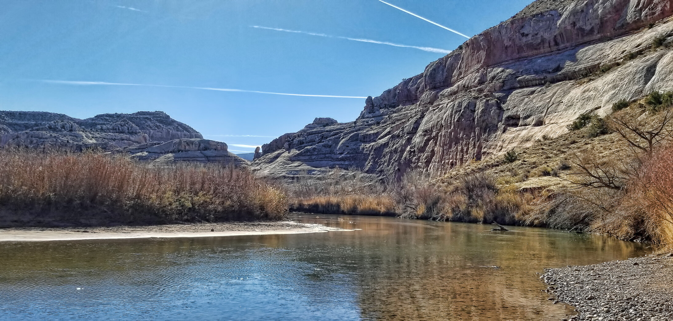
The Dolores River at Roberts Bottom.