The last launch event of the year...

was held today at the state line between Colorado and Utah. I successfully launched and recovered three mid-power rockets on a calm and sunny day in the Grand Valley. Always enormous fun.

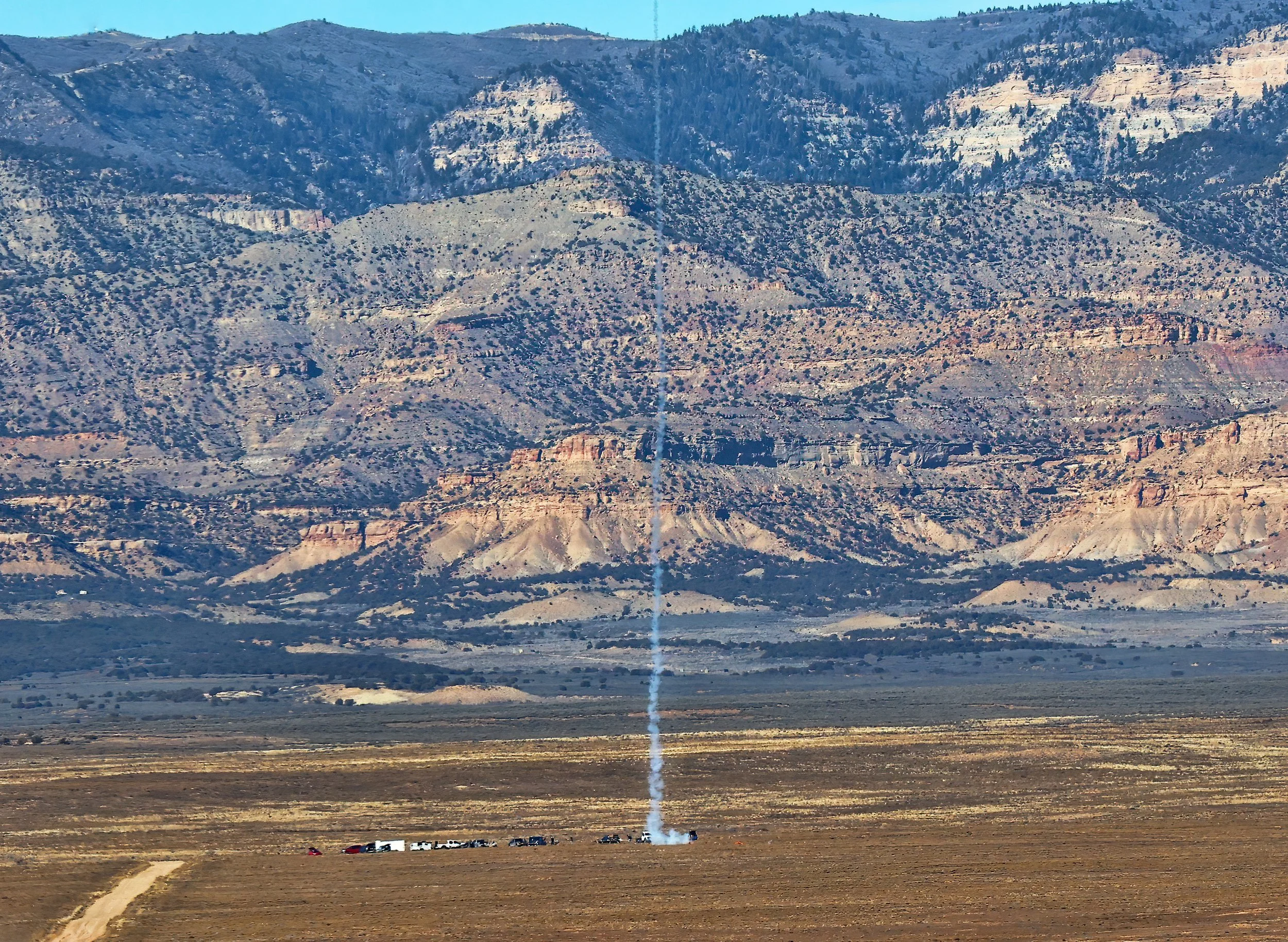
The exhaust plume of a high-power rocket paints its trajectory as it heads skyward with the Book Cliffs serving as a scenic backdrop to the remote launch site.

Doorknob lifting off the rod on a F15-4 engine.

Nike Smoke Pro leaping off the pad on a composite F20-7W engine.

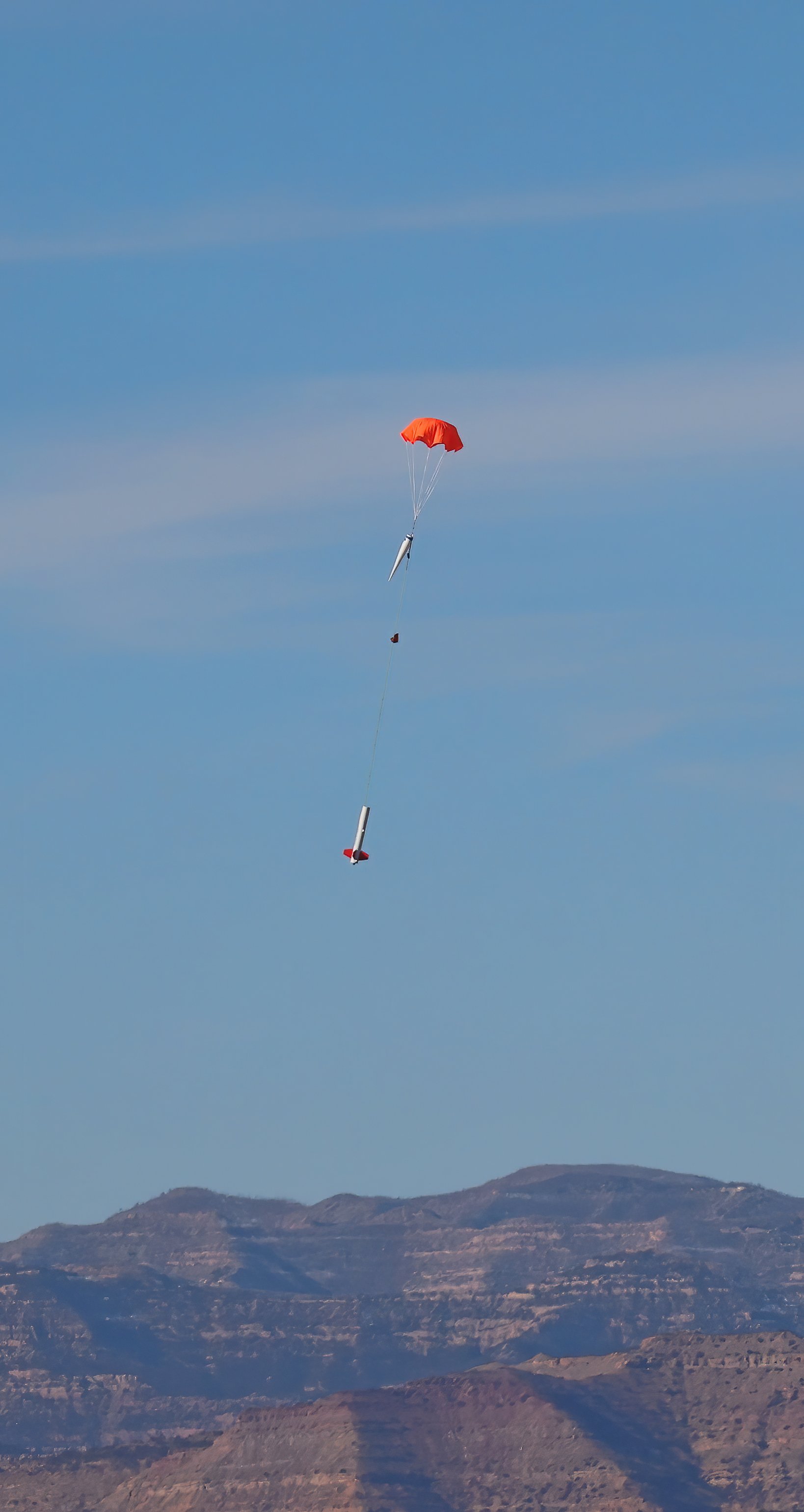
Nike Smoke Pro under chute during descent.

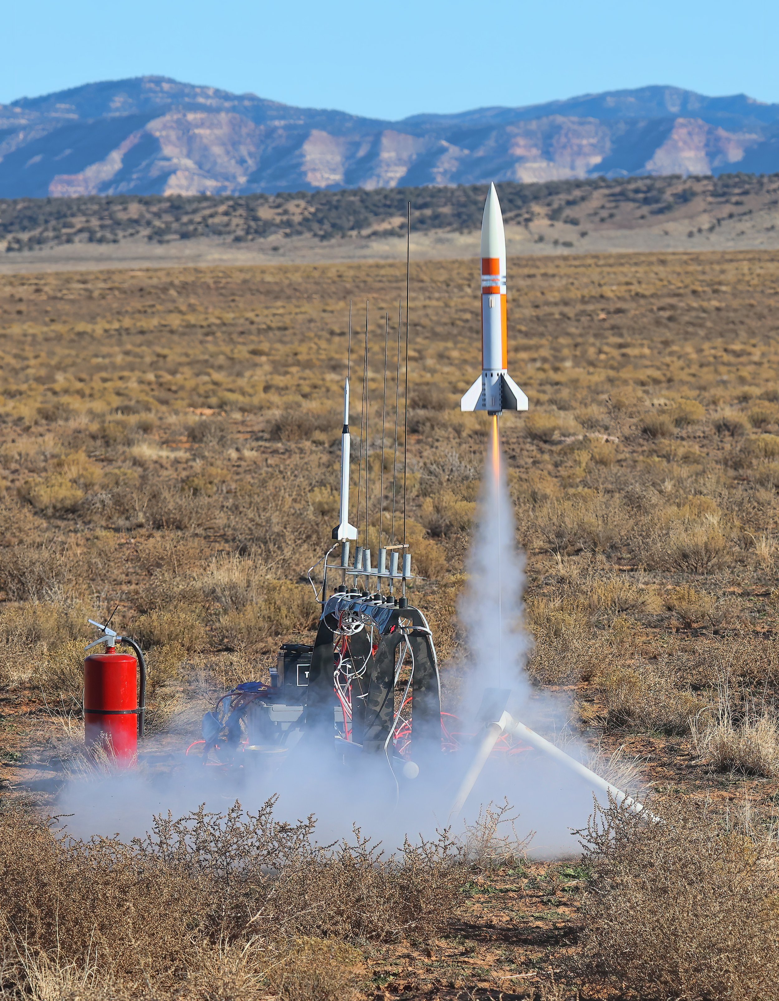
The mid-power Cherokee Pro heading up on a composite G77-7R engine to an apogee of 1,672 feet (510 m).

Exquisite mudcracks...

displayed on a bedding plane on a fallen slab from the Chinle Formation (Upper Triassic (237-201.3Ma)) near Courthouse Wash. This sedimentary structure formed as muddy sediment dried and contracted due to reduction in water content, then buried and preserved with sandy sediments from a subsequent flood event.

The Henrys on the horizon...

as seen from a lofty perch above Castleton on a clear and cold early winter day.

The Henry Mountains, 90 miles (145 km) distant. From left to right (south to north): Mount Hillers (10,741 ft (3,274 m)), Mount Pennell (11,413 ft (3,479 m)) and Mount Ellen (11,527 ft (3,513 m)).

The collapsed salt-cored anticline in the heart of Arches National Park, 25 miles (40 km) distant. The Book Cliffs are 39 miles (63 km) distant.

The Tower briefly emerges...

and then becomes obscured by low clouds as the latest early winter storm slowly passes, the first of which that dropped snow flurries on the valley this season. Meanwhile, the high country is off to a good start, sitting at 100% median snow water equivalent for this point in the water year.

Time series plot of snow water equivalent for the Lasal Mountain SNOTEL site.

All fluffed up...

with its winter coat on in response to the first hard freeze overnight as it stakes out the feeding stations the following morning.

Juvenile Cooper’s Hawk (Astur cooperii).

A window into the Paradox Formation...

is found in Onion Creek where the peculiar geology of the salt-dominated formation is on full display. The light-colored gypsum caprock is highly structurally distorted, demonstrating the plastic nature of the buoyant salt body as it rises and displaces other clastic rocks in the geologic section.

View eastward, across the Onion Creek diapir. The Paradox Formation (Middle Pennsylvanian (315.2Ma - 307Ma)) is the light-colored unit in contact with the red beds of the Cutler Formation (Lower Permian (298.9Ma - 273.01Ma)).

Behind the Rocks is softly lit...

in the distance this morning, the sandstone fins in the strongly-jointed terrain catching some filtered rays of sunshine under unsettled weather. The image below was captured during the ascent of Long Canyon early in the day.

Having fun with the new Bronco in Long Canyon at Pucker Pass.

An early morning shower...

is being enjoyed in the bird bath. Unfortunately this opportunity won’t last much longer as the irrigation system is being winterized tomorrow.

Western Meadowlark (Sturnella neglecta).

Despite the unalluring name...

that lacks curb appeal, the Mud Springs Non-Motorized Trail System is the newest mountain biking area south of Moab and it is HUGE fun. I explored about nine miles (~14 km) today during its “soft opening” prior to a winter closure that commences 1 December 2025. It’s brilliantly designed and expertly constructed with lots of downhill flowy sections with banked/bermed corners where experienced riders can carry speed through the turns. Once again, it’s enormous fun!

Scenic view from the top of the trail system. (Click on image to embiggen.)

Look who's lurking...

near the feeding stations this morning, waiting patiently to grab brunch.

Juvenile Cooper's Hawk (Astur cooperii).

UPDATE: The following morning, with the Sun at its back, hunting for breakfast.