from Miami to the Pacific Northwest, in style, in a private jet. This is the last leg of our evacuation from the Silver Explorer in southern Chile. (See following post.)

Fleet of private jets at MIA being prepped to take us home to various destinations across the US.

View of Miami shortly after takeoff.

It will be difficult to ever fly commercial again! Six of us enjoyed this special cross-county flight.

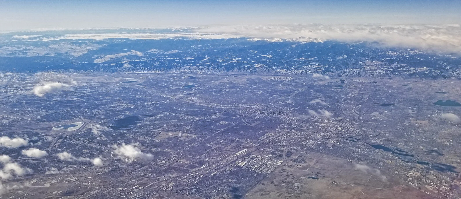
View to west across the lower Mississippi delta from 43,000 feet.
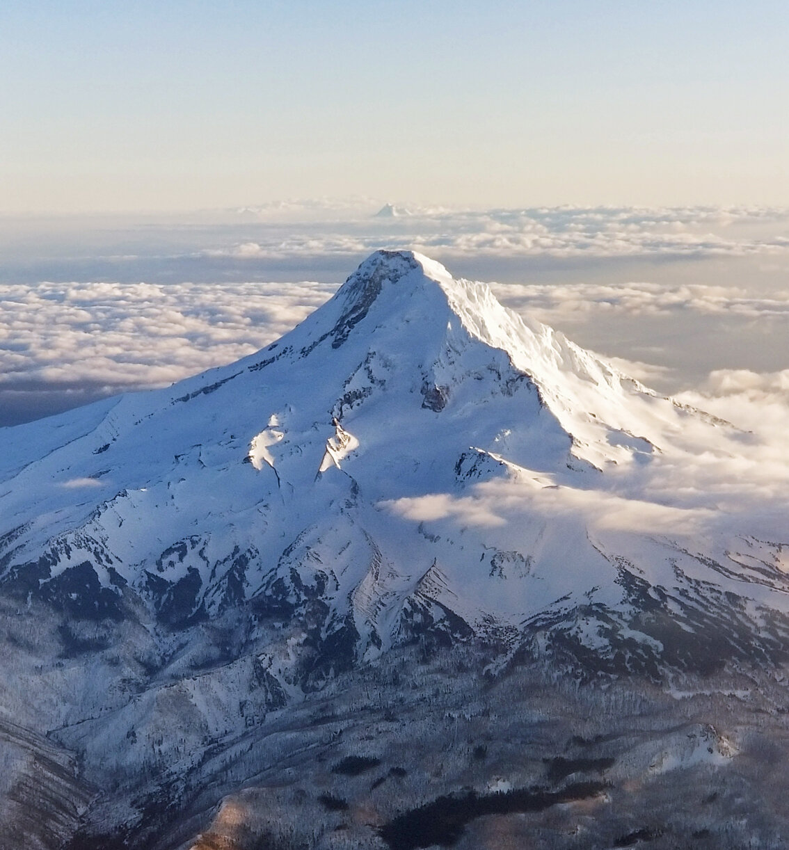
North side view of Mount Hood, with Mount Jefferson in distance above summit.