arriving at my feeder for breakfast.
Both images shot at 1/2500 sec, still not fast enough to freeze their wing beat.
arriving at my feeder for breakfast.


Both images shot at 1/2500 sec, still not fast enough to freeze their wing beat.
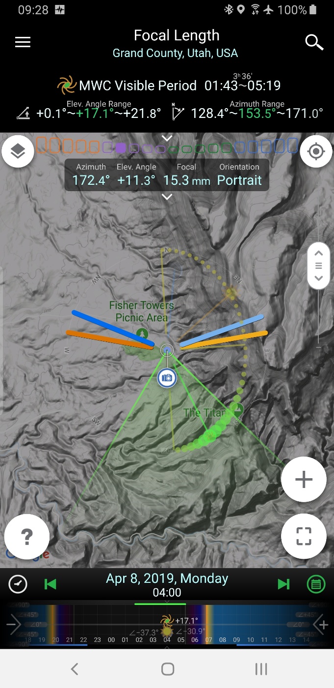
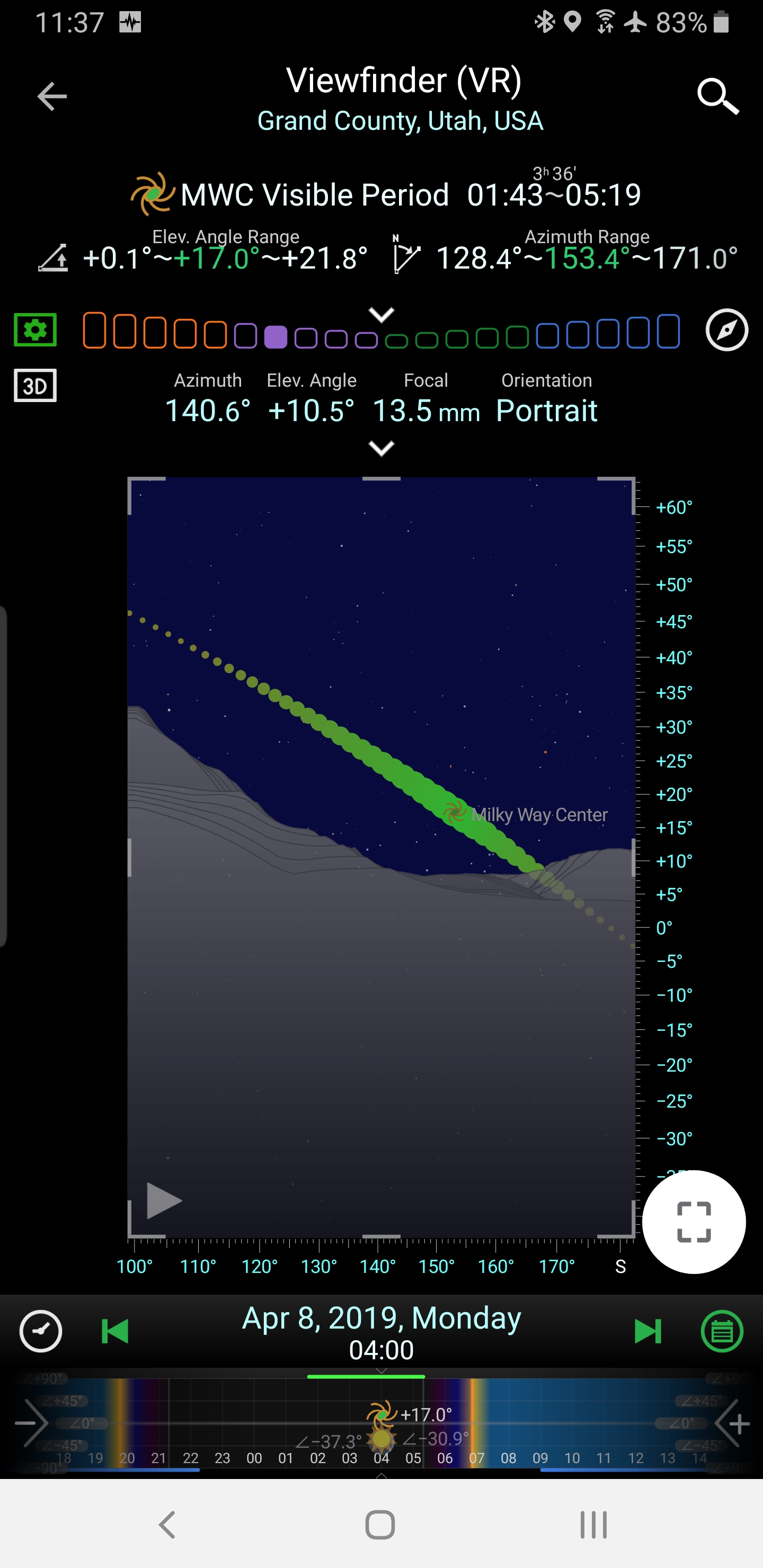
taken around 4 am this morning. The bright glob in the upper part of the galactic core is the planet Jupiter, overexposed due to its brightness.
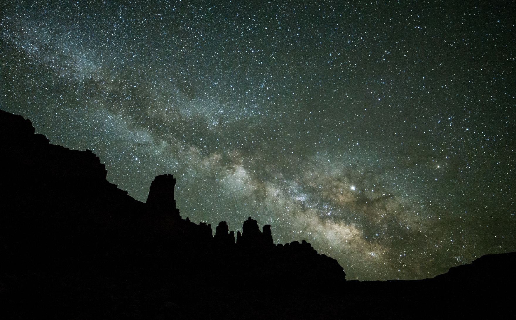
Recipe: Tripod-mounted Canon 6D with 14mm Rokinon manual lens, 20 sec, f/2.8 at ISO 3200.
PlanIt! Pro is an Android astroimaging planning app and is key to staging images like that seen above, allowing the user to locate themselves via GPS in order capture your envisioned landscape composition involving various celestial objects and/or events. Brilliant.
were the targets of exploration this weekend with long-time friends, an area of defunct uranium mines north of Arches National Park, with sedimentary-hosted uranium ore found in the Salt Wash Member of the Morrison Formation.


throughout Castle Valley this spring, painting large pink and purple swaths in the greening cheat grass.
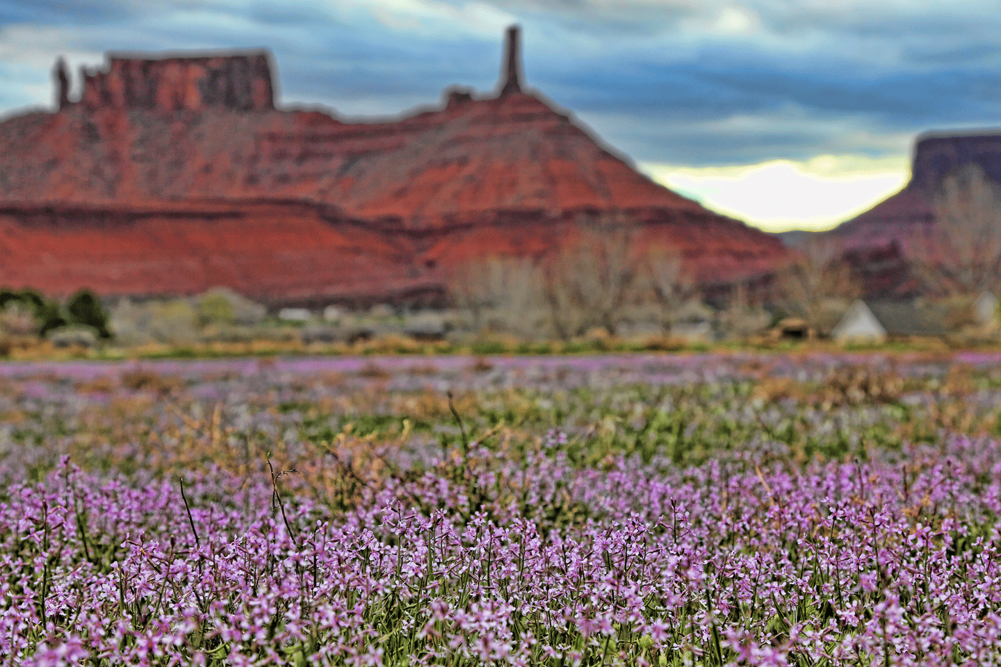
in Castle Valley as the day draws to an end.
(Click image to enlarge.)
for the next little while, stalking the collared lizards with my new big lens and enjoying the spring bloom of desert wildflowers.

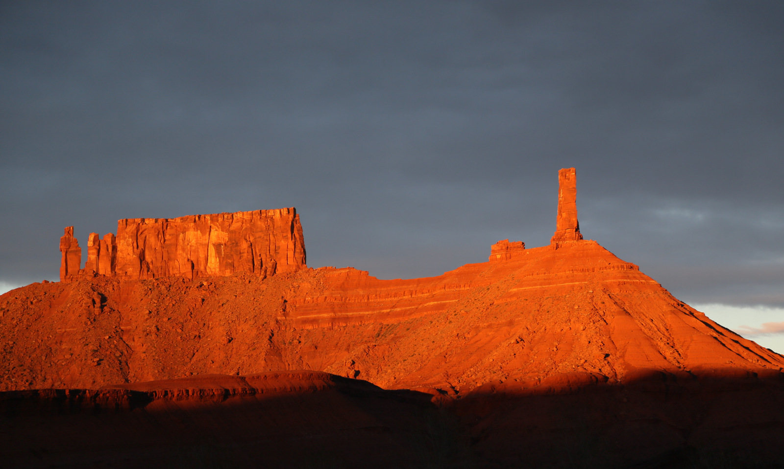
Sunset this evening. Magnificent.
this evening with 78% of the surface visible. Full moon is on Thursday.

Canon 5Div with 500 mm EF lens at 1/125 sec, f/5 at ISO 100. This is a cropped jpeg right off the camera with no adjustments or sharpening. I really like this lens.
on Middle Pine Lake in Turnbull National Wildlife Refuge was enjoyable on this bright and sunny day.


Male common goldeneye.

Female ring-necked duck.

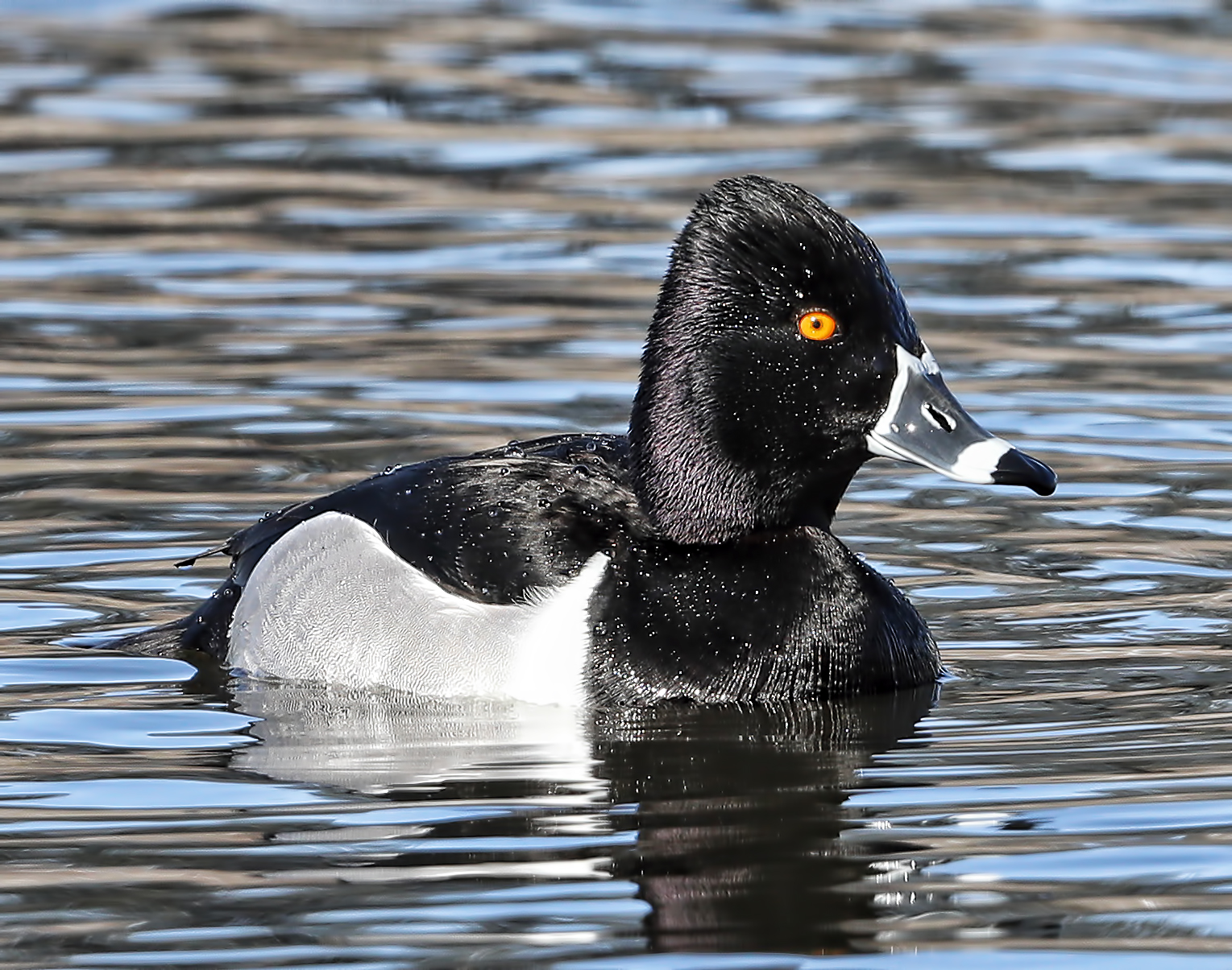
Male ring-necked ducks.

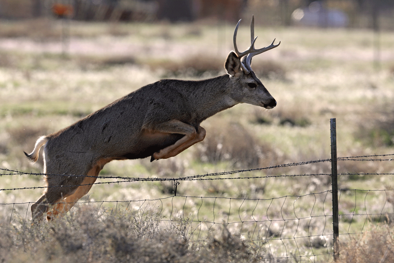
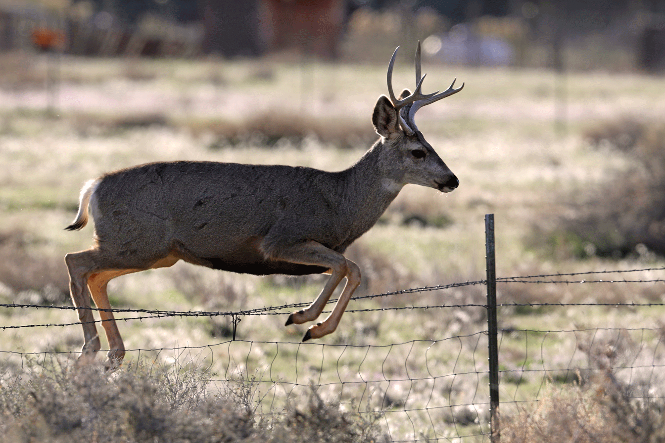
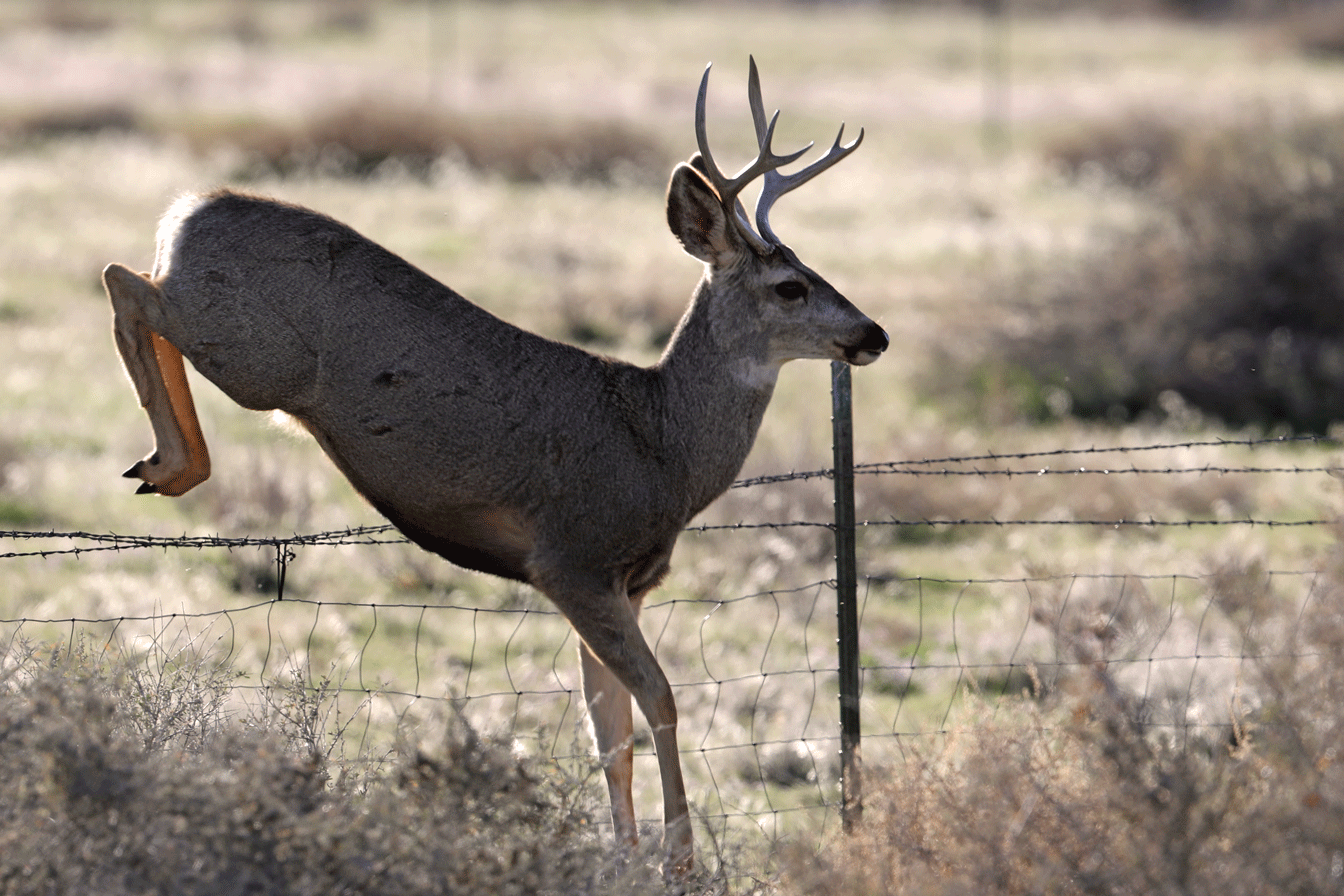
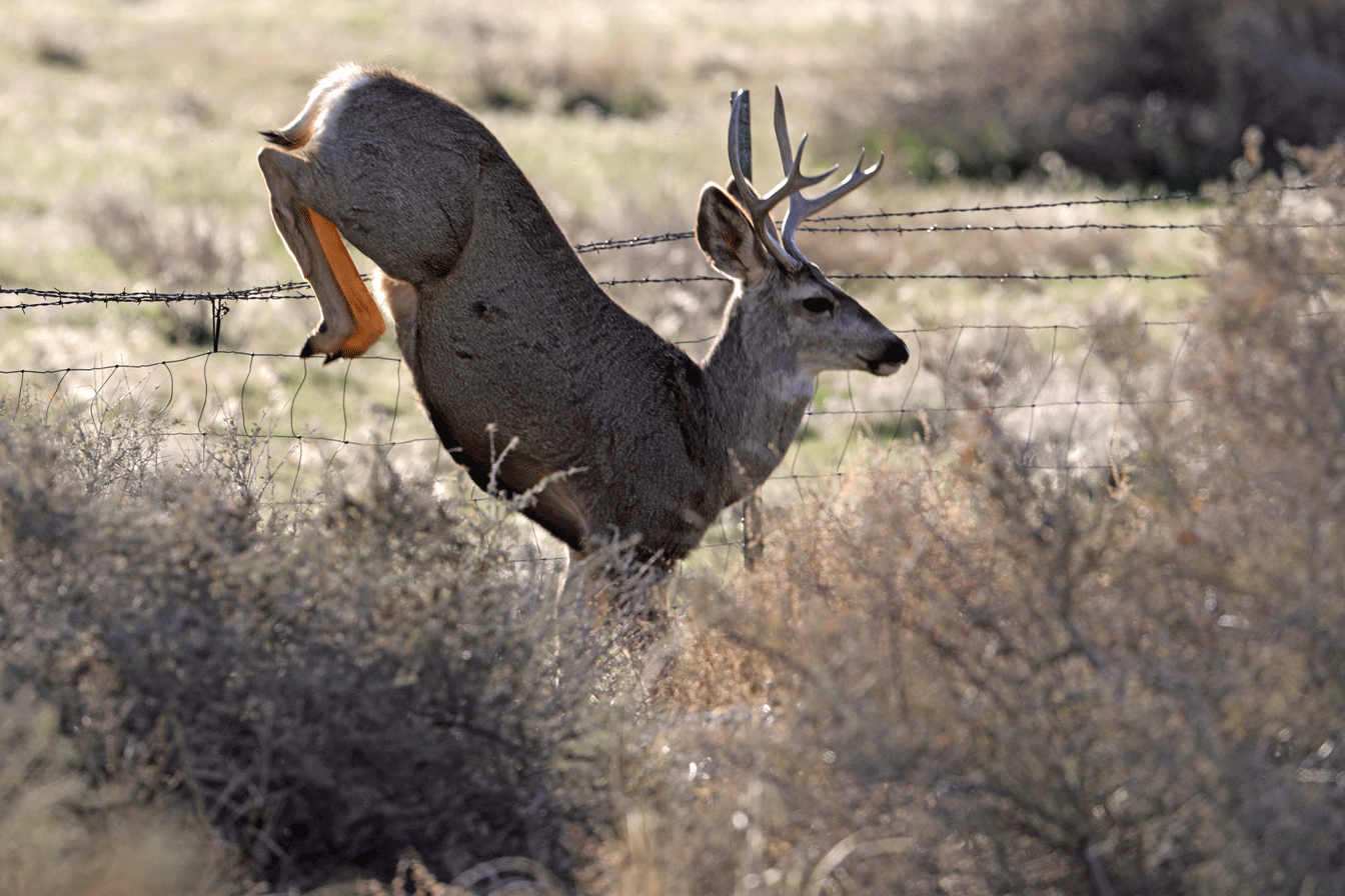
shot with my big new glass on a gimbal tripod head at approximately 100 meters.


was perched on a tree trunk no more than four meters away, basking in the sun and all puffed up for maximum insulation in this frigid weather.

Image shot with my new Canon EF 500mm f/4L IS II USM lens - through an unwashed double-pane window. I’m pretty pleased.
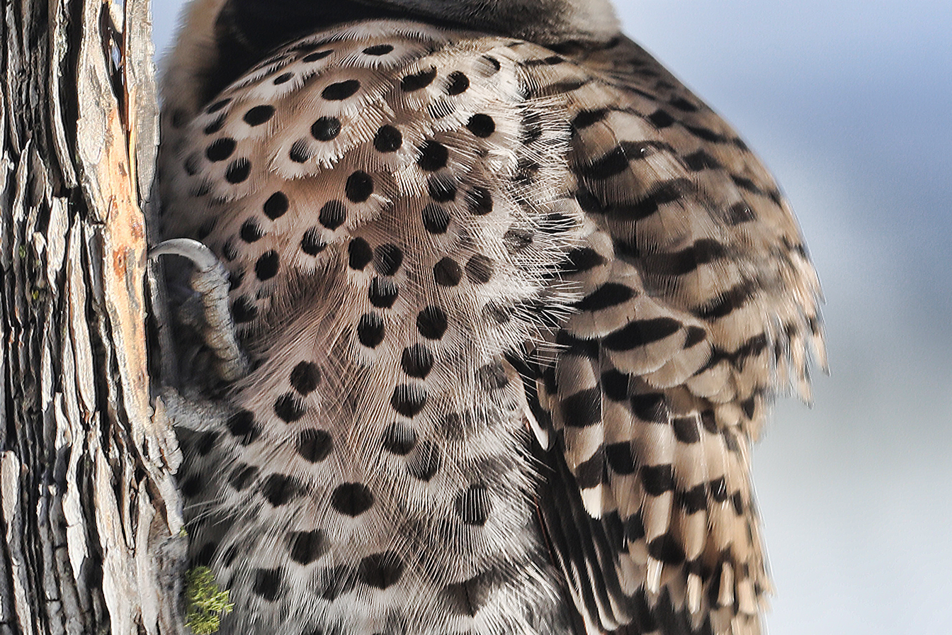
Close-up of breast feathers in image above.
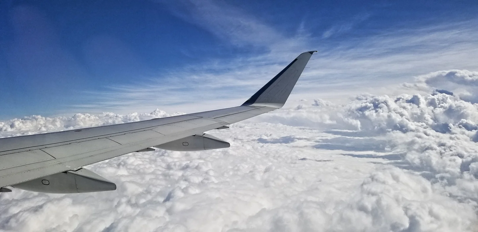
from one white landscape to another. The numbers: Approximately 9,000 miles on three flights (USH - EZE - DFW - GEG) during a 28 hour long period, not including the final Uber ride. Ugh.

The deeply glaciated terrain of the Beartooth Plateau north of Yellowstone National Park.
features a lovely coastline of folded phyllites and southern beech forest. What a nice change to see green in the landscape after spending so much time in ice and snow.


The southernmost post office on planet Earth is found in the park.

And here’s the postmaster of this outpost, a real character. I’m heading home to the northern winter tomorrow!
with a panoramic view from the summit of Ronald Hill above Whaler’s Bay.
(Click image to enlarge.)

The British Antarctic Survey station and older Norwegian whaling operation were swept by lahars in 1969 during another eruption in nearby Telefon Bay.
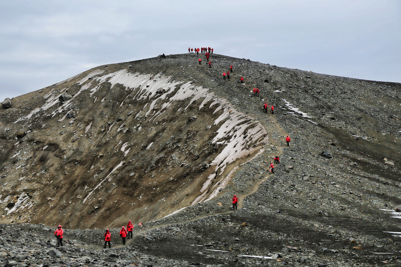
Descent from Ronald Hill where the panorama was taken.
at Neko Harbor on the peninsula. An entirely terrific last day on the icy continent.

The Silver Explorer (center, distance) surrounded by brash ice from nearby calving glaciers in Neko Harbor.


And a highly curious Gentoo Penguin chick investigating our gear on shore.
as we make our way toward Elephant Island and the Antarctic Peninsula.

on the southeastern end of South Georgia.


as seen from above the restored church, on the return walk from Maiviken, a nearby historic sealing station.


Inside the museum, a juvenile Wandering Albatross with a nine foot wingspan!

Industrial remains of the early 20th century whaling station.

Expedition team member Patrick Demus and me at the pass between Grytviken and Maiviken. I’m trying to convince the guests that this German-speaking Austrian fellow is my nephew!