would like to announce the new gallery page on Papua New Guinea. Images shot during Zegrahm Expeditions’ 2019 itinerary are now featured, so hit the Gallery link to navigate to the new page. Enjoy!

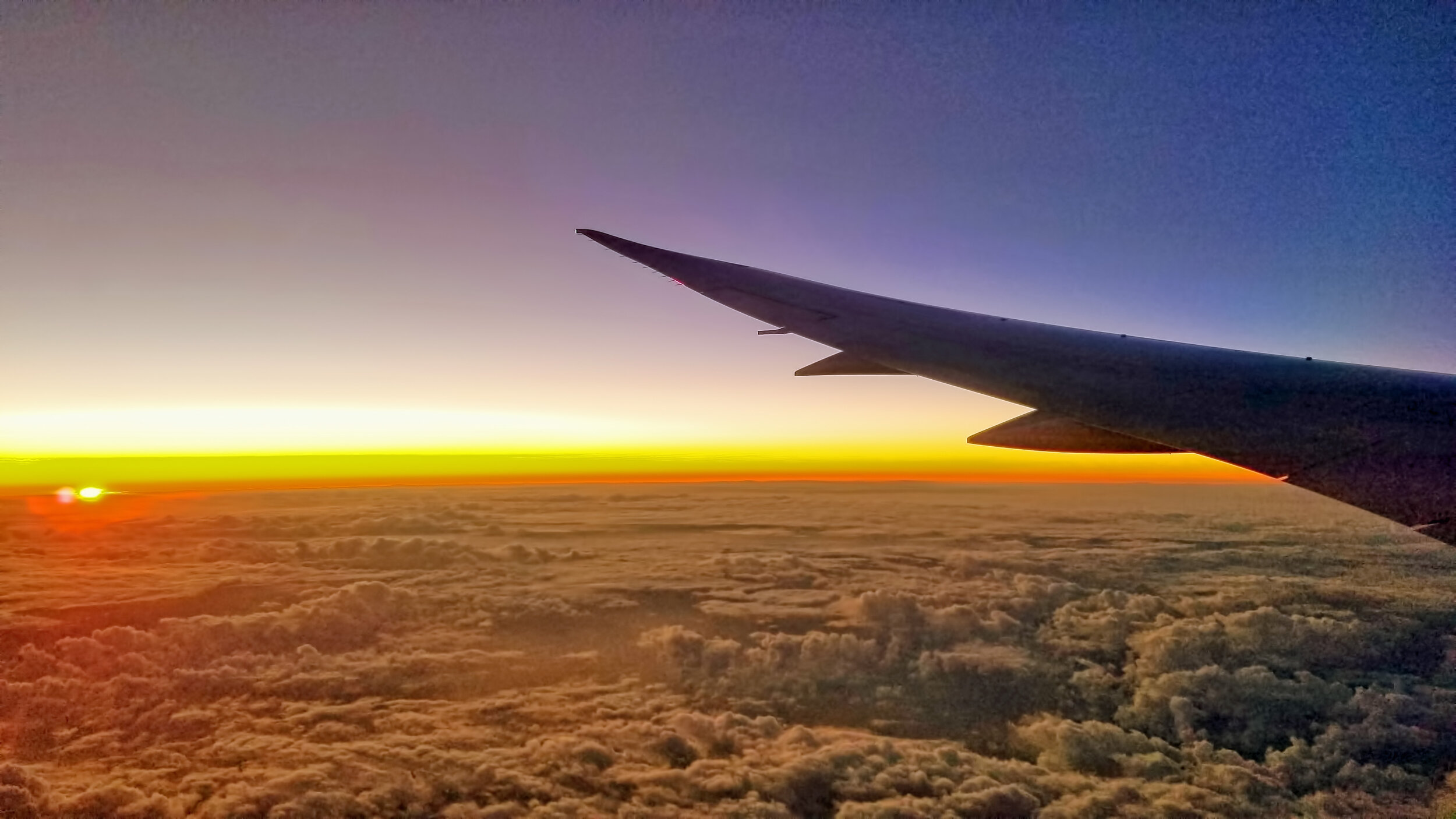
Winging my way home...
from Down Under, and remember, geologists always get window seats.

Departing Australia from Cairns.

The northern part of the Great Barrier Reef system. I like the Qantas logo.

Arrival at San Francisco.
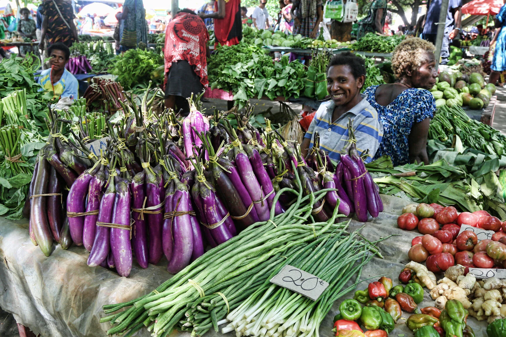
Bustling morning at the Rabaul market...
where it’s mostly women and children tending to business.


These images were shot during my last day in Papua New Guinea, in early October. What a fabulously terrific cultural experience!
Tavurvur volcano at the edge of Rabaul caldera...
was responsible for the destruction of the entire town of Rabaul in 1994, now rebuilt as seen below. On this day it was actively venting steam, but little else.


View of Tavurvur from the ship as we enter the harbour within the caldera. This is approximately the same vantage point as that seen in the dramatic video linked below.
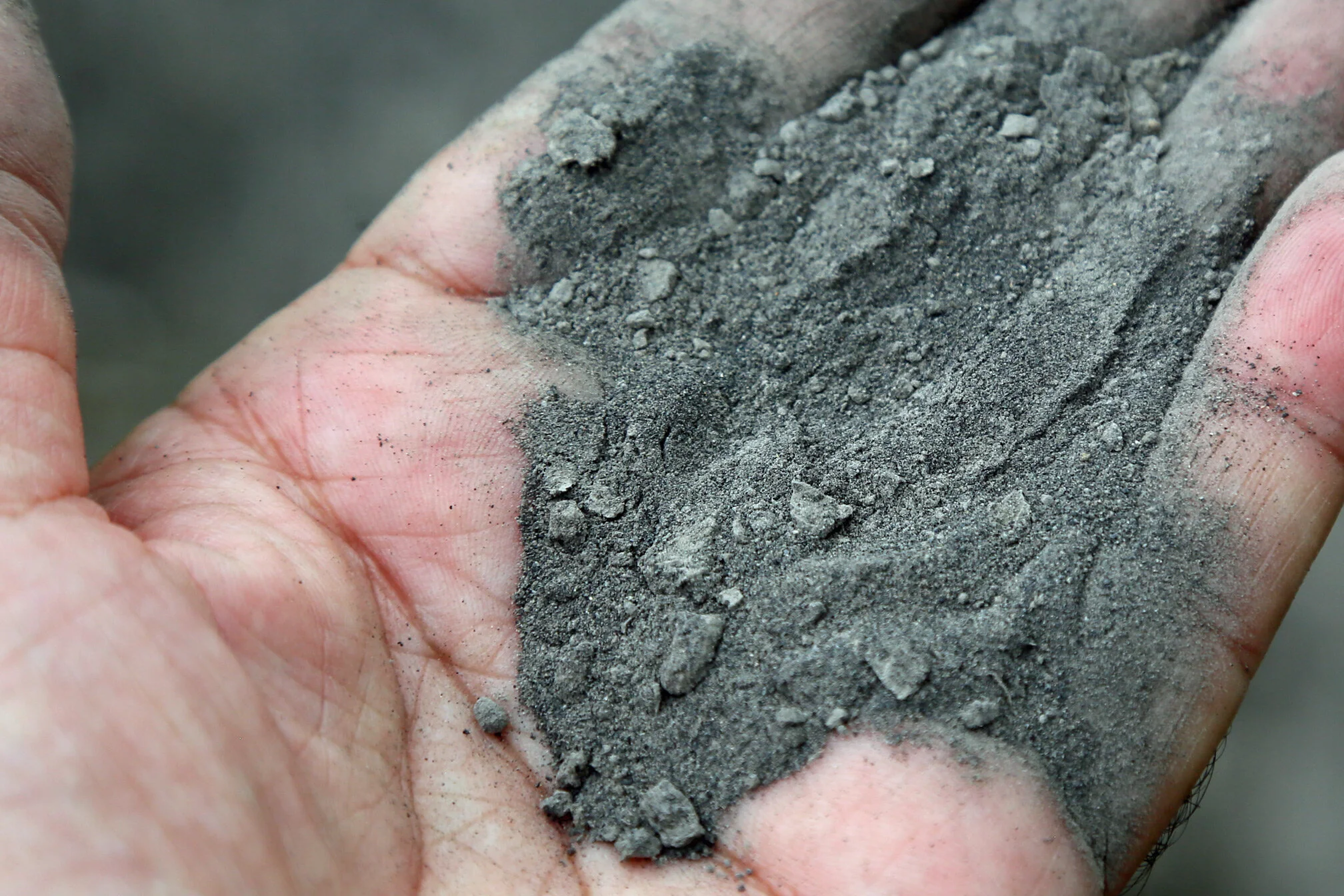
Close view of sandy ash that fell, meters deep, in 1994.
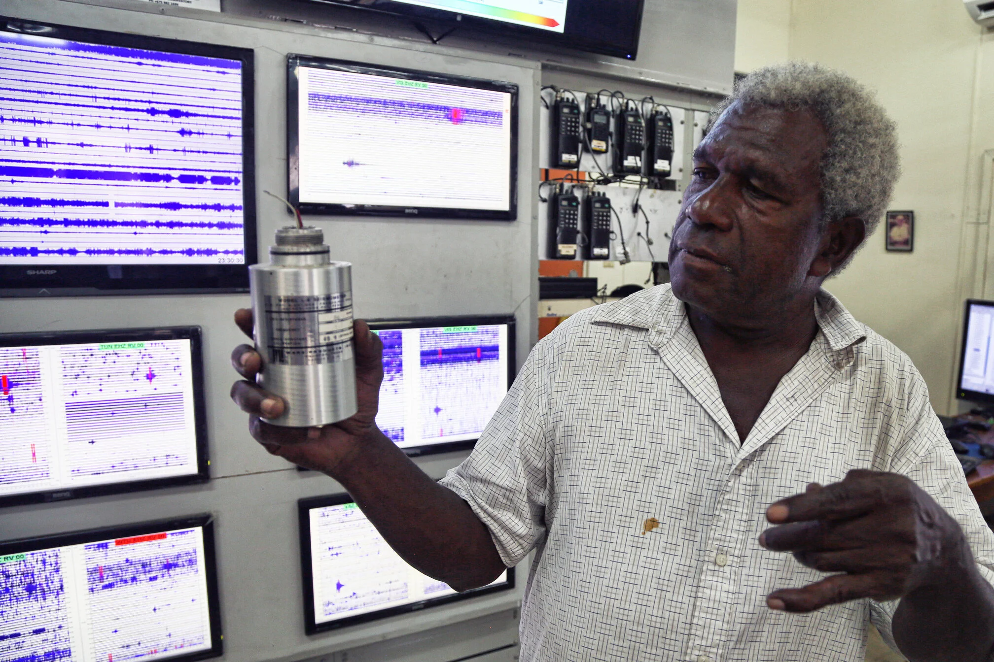
A staff member of the well-equipped Rabaul Volcano Observatory holds a modern seismometer. This lab was just recently outfitted two months ago with the assistance of the USGS and VDAP.
See video of the 2014 eruption of Tavurvur: https://www.youtube.com/watch?v=oMxIlXW56cQ
Read about 1994 eruption that buried the village of Rabaul: https://en.wikipedia.org/wiki/Rabaul
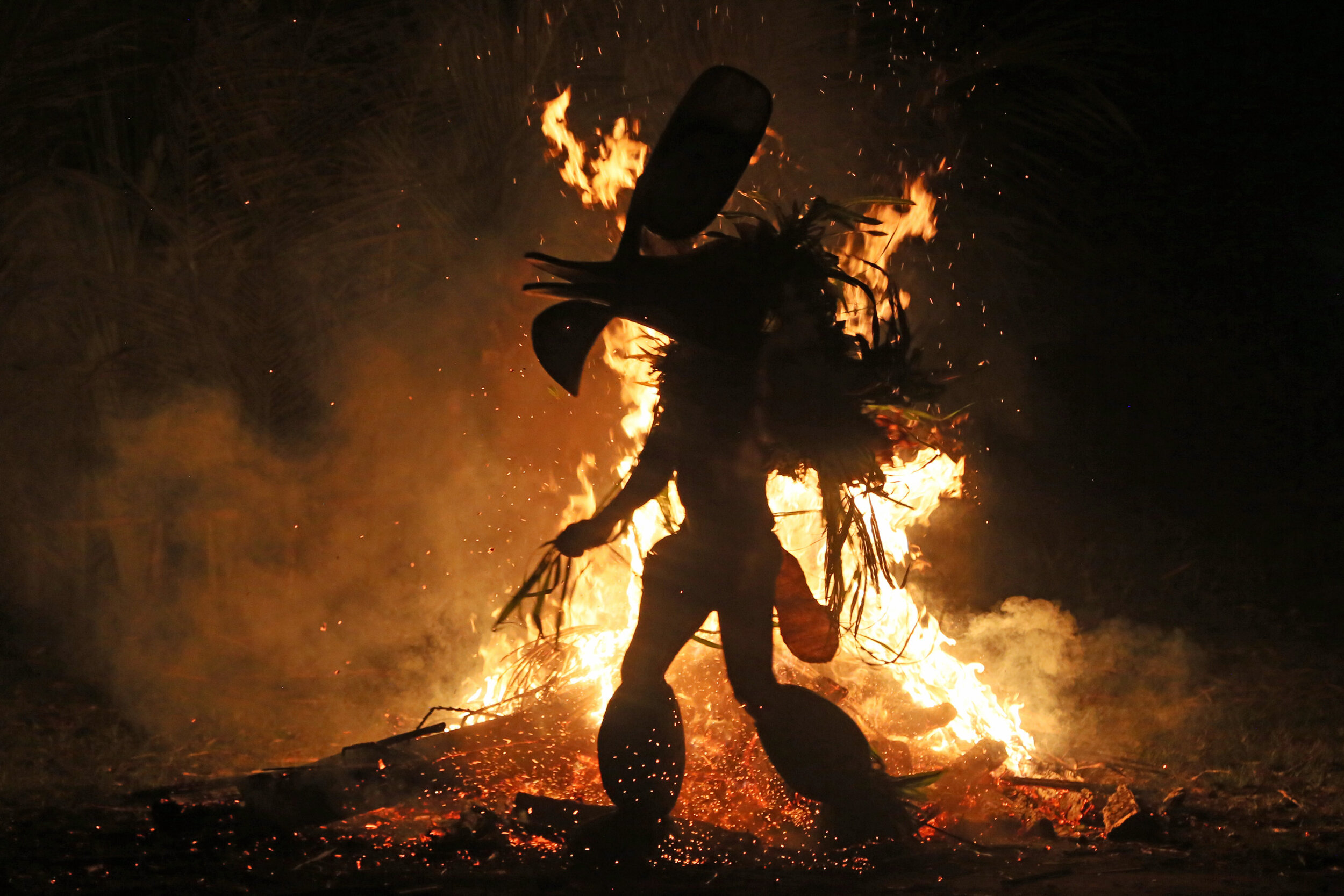
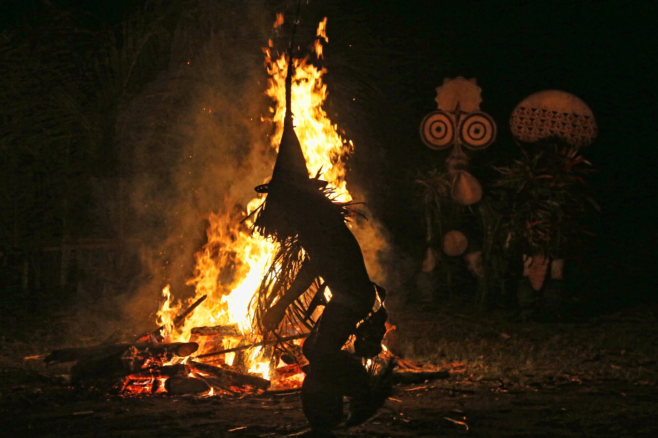
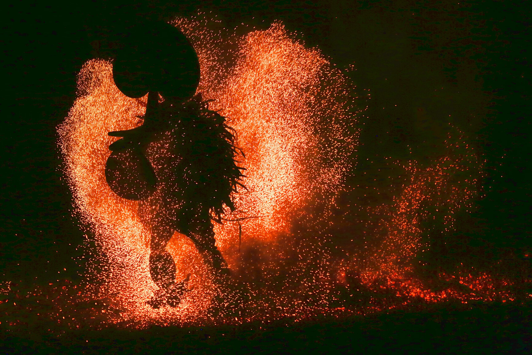
Baining fire dancers of New Britain...
arrived between 40,000 and 50,000 years ago, and still practice their rituals to this day.

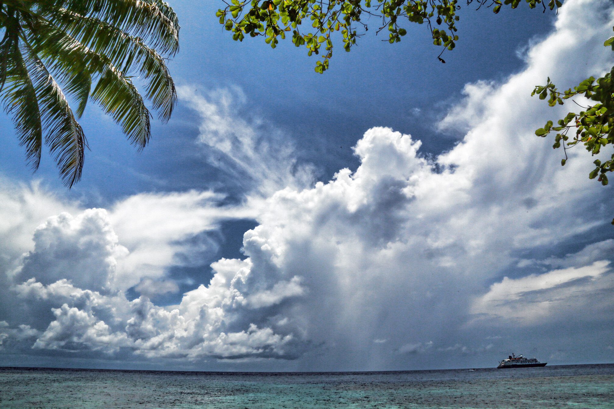
Snorkeling on the most bio-diverse reef systems...
in the world.

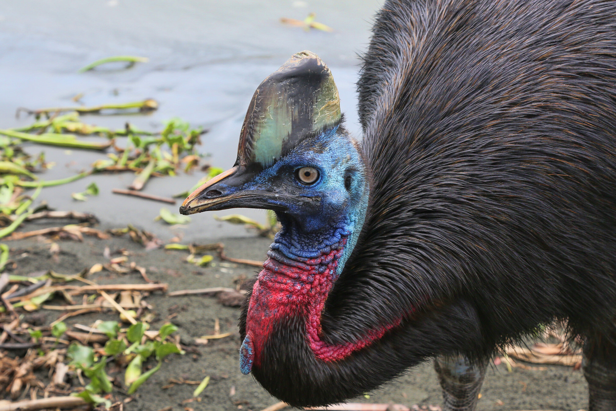
Be wary of the cassowary...
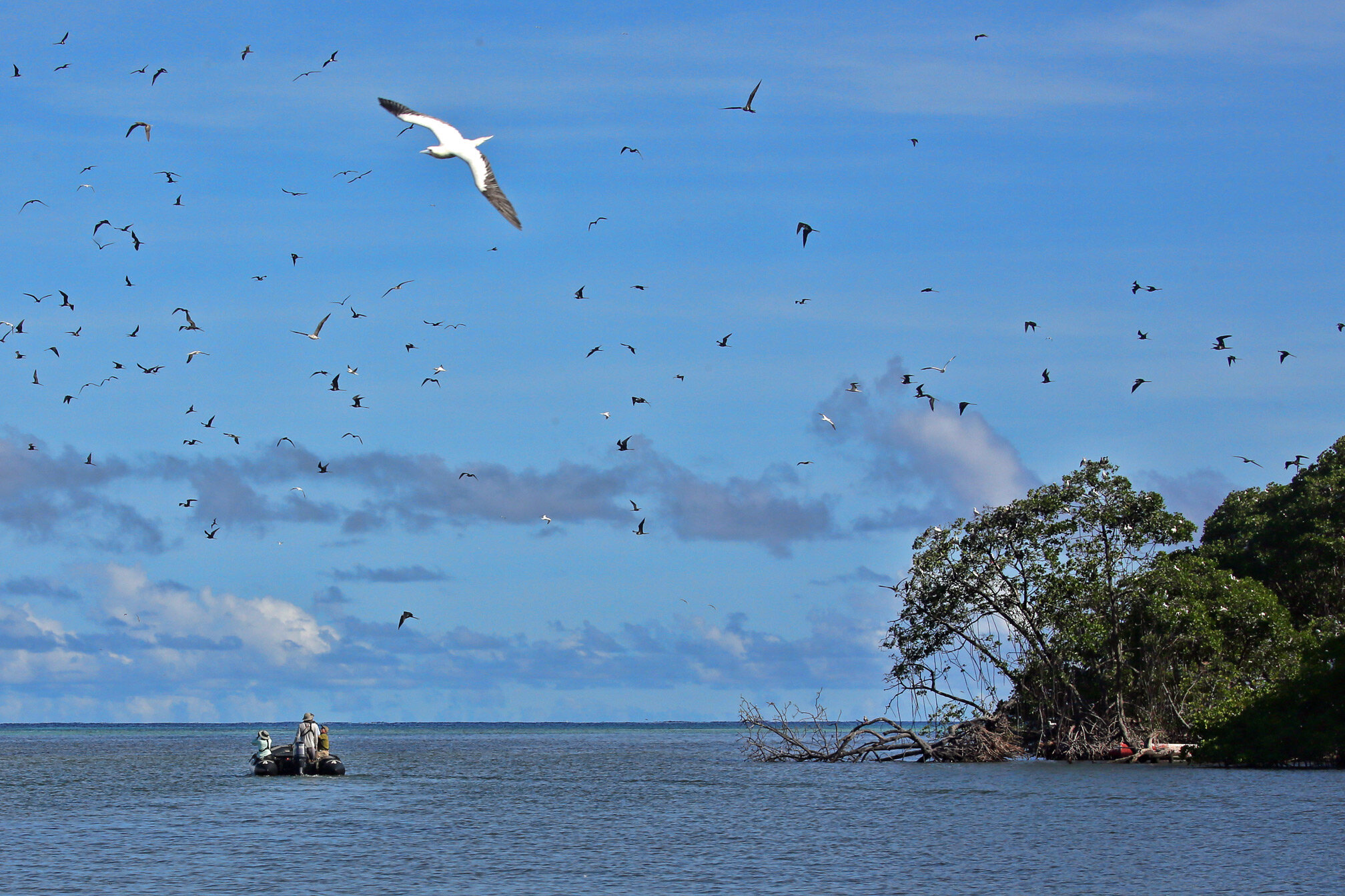
Red-footed boobies of Tingwon Island...


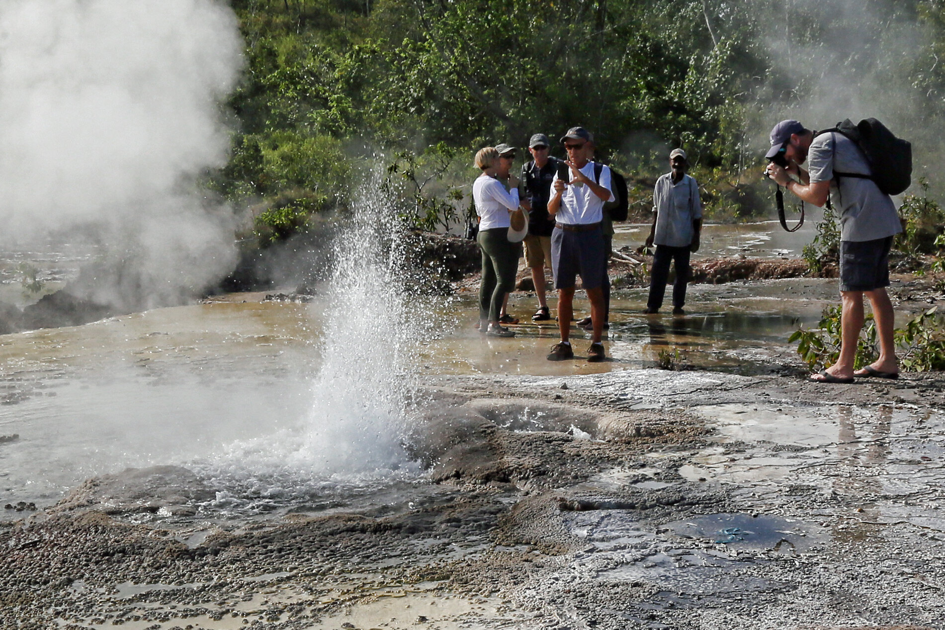
Small geothermal area on Fergusson Island...
at the edge of a sunken crater.


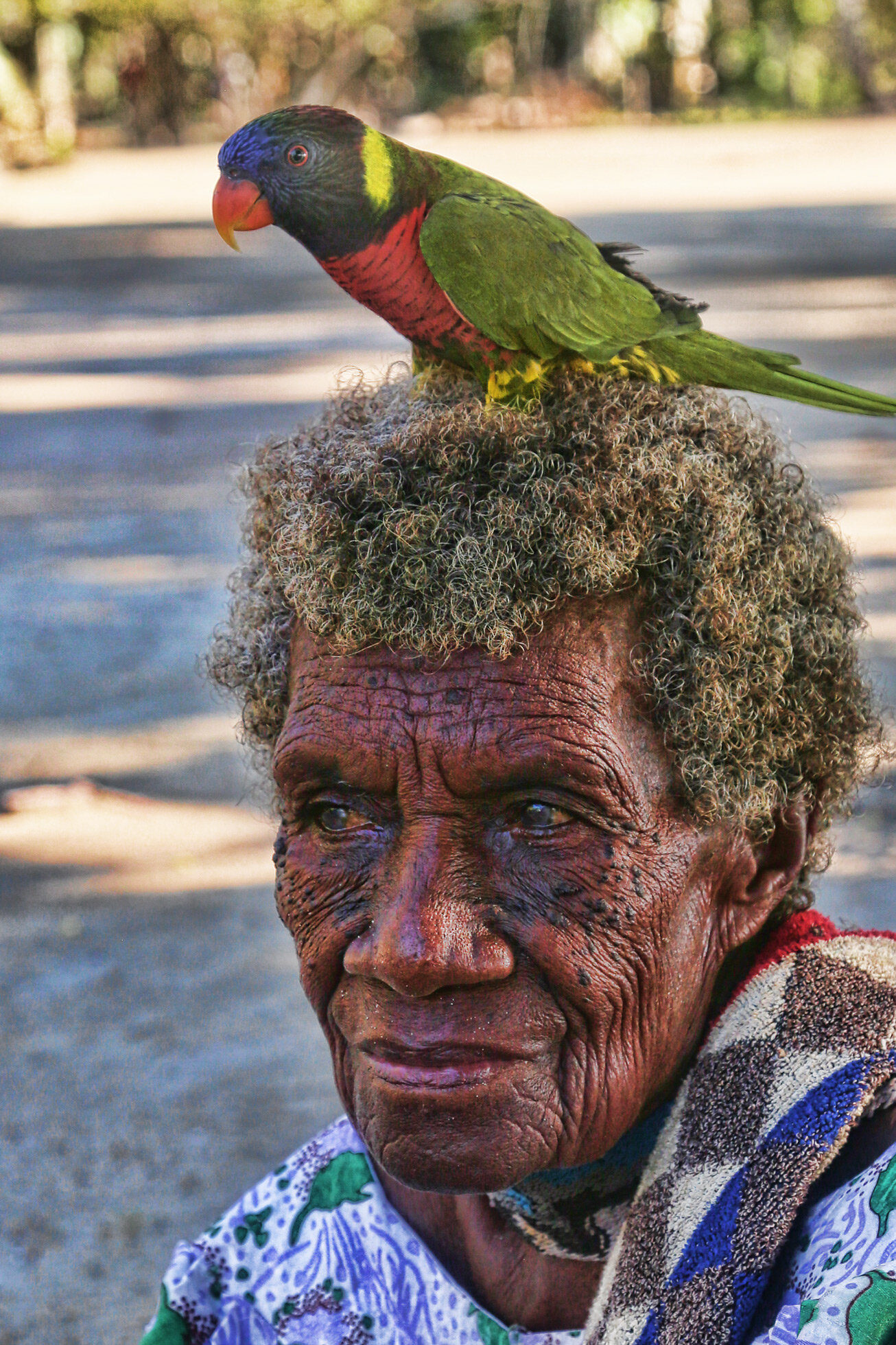
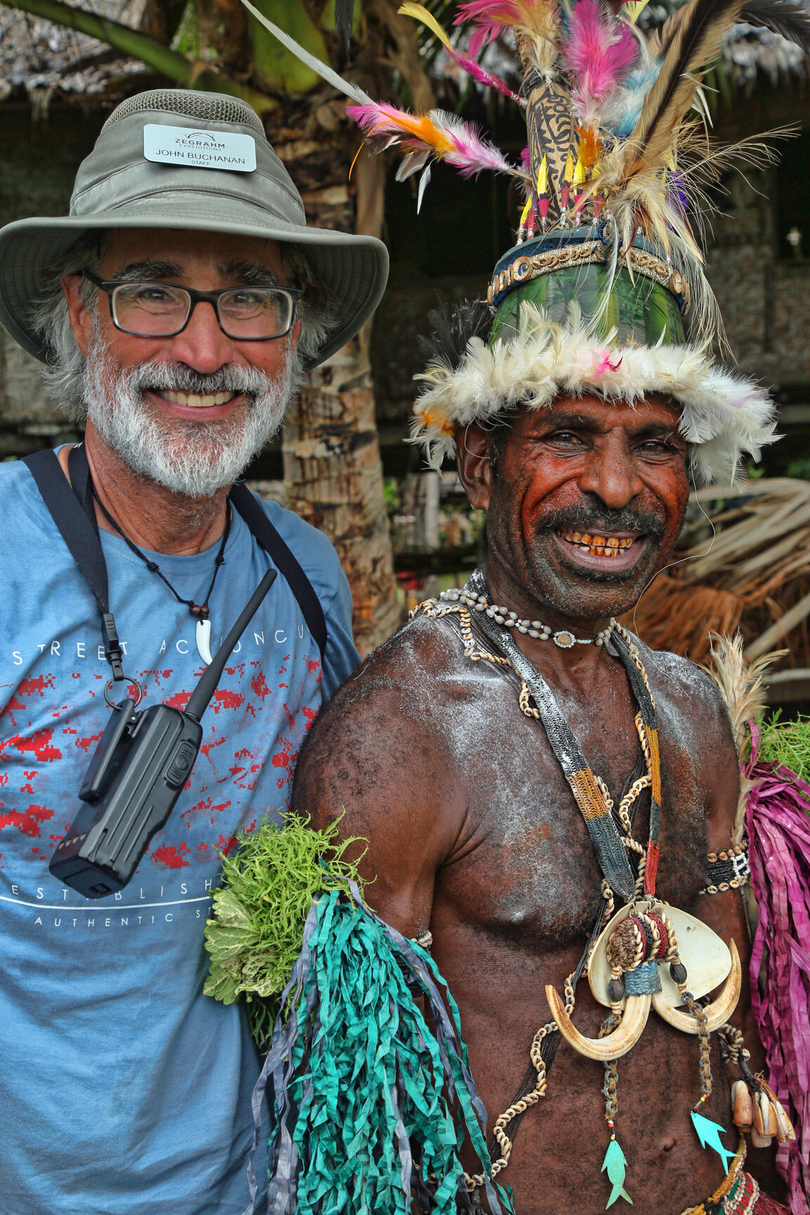
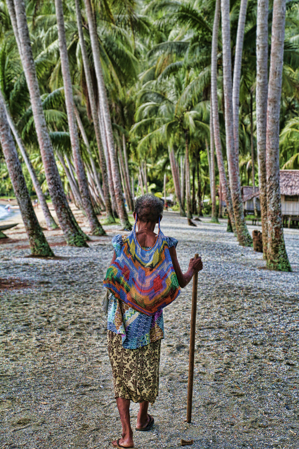
Portraits of diverse peoples in Papua New Guinea...


First day of activities in Papua New Guinea...
included visiting the local nature park in capital city Port Moresby.
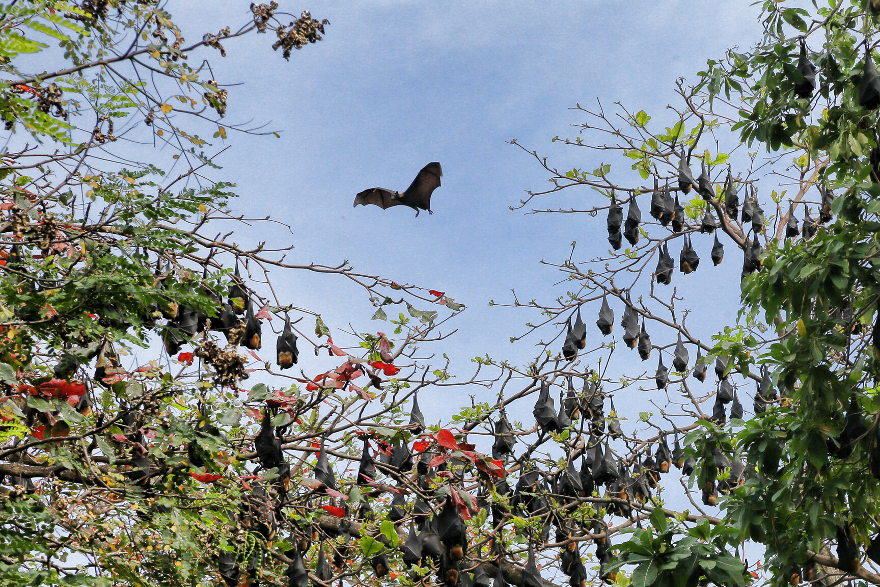
Flying foxes (fruit bats).

Victorias crowned pigeon.

Cassowary.
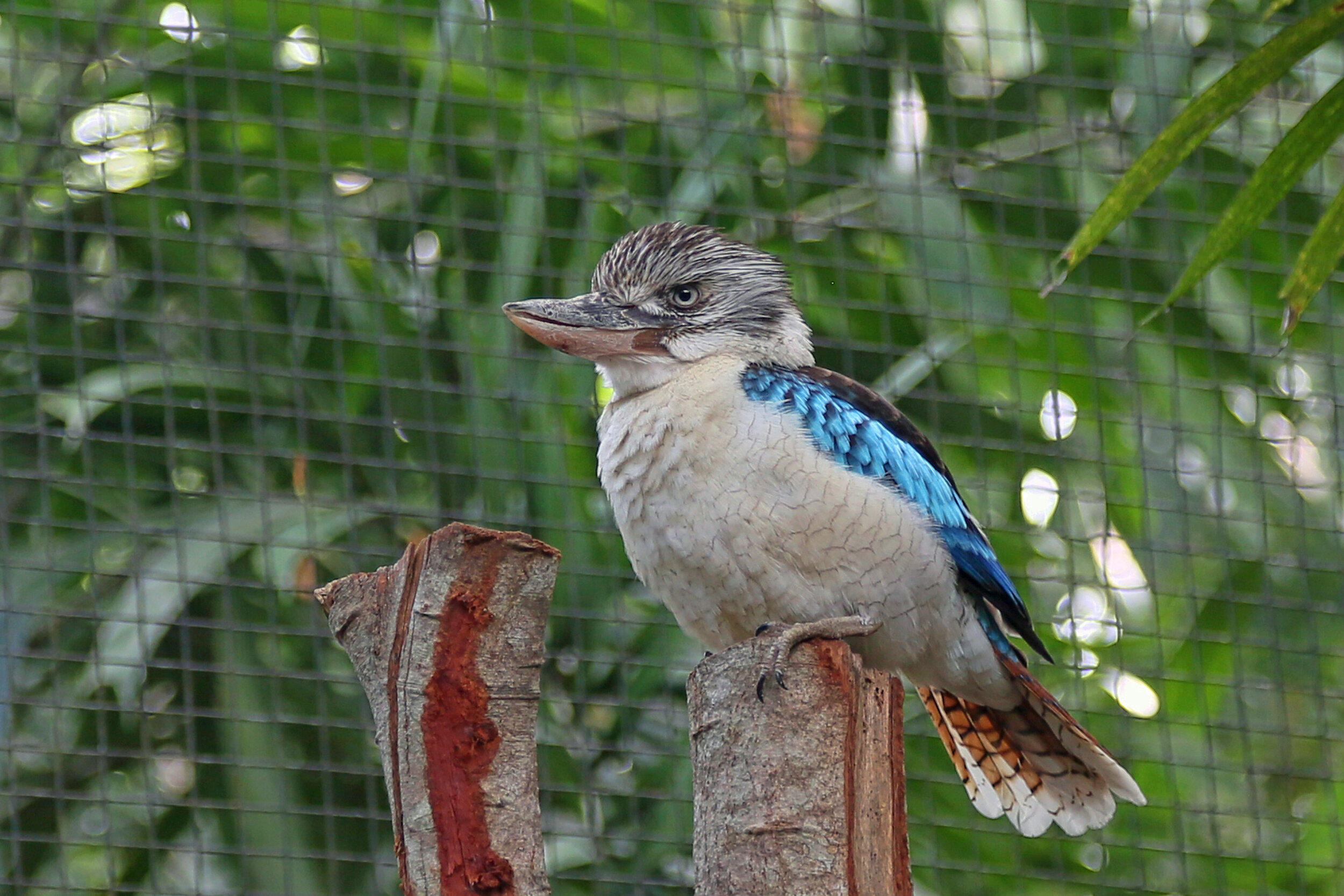
Blue-winged kookaburra.

Brolga.

Lollypop flower.
Twenty-nine hours of travel...
has delivered me from Grand Junction, Colorado to Port Moresby in Papua New Guinea.

Sedimentary strata (Cretaceous) in the Book Cliffs in Utah seen at take off from Grand Junction, Colorado.
Sun rise across the International Date Line on approach to Brisbane, Australia.
Prepping for Papua New Guinea...
with Zegrahm Expeditions, leaving in exactly one week. After traveling in polar regions for four-and-a-half months this year, this trip will feel like a tropical vacation! I’m looking forward to snorkeling on some of the most bio-diverse reef systems in the world.

Voyage map: Port Moresby to Rabaul.
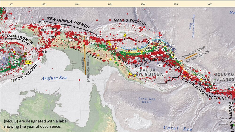
Seismicity of the convergent tectonic setting (from USGS). Earthquake foci color coded red (shallow) to yellow (deep).
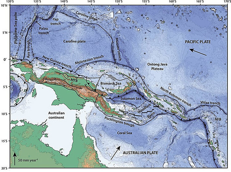
Microplates in convergent boundary between Australian and Pacific Plates. From Holm, RJ et al., 2016, Post 8 Ma reconstruction of Papua New Guinea and Solomon Islands: Earth-Science Reviews.