to the US Post Office in Moab today via the Shafer Trail and Potash Road, about an 80 mile (130 km) long detour. Pretty scenic though!
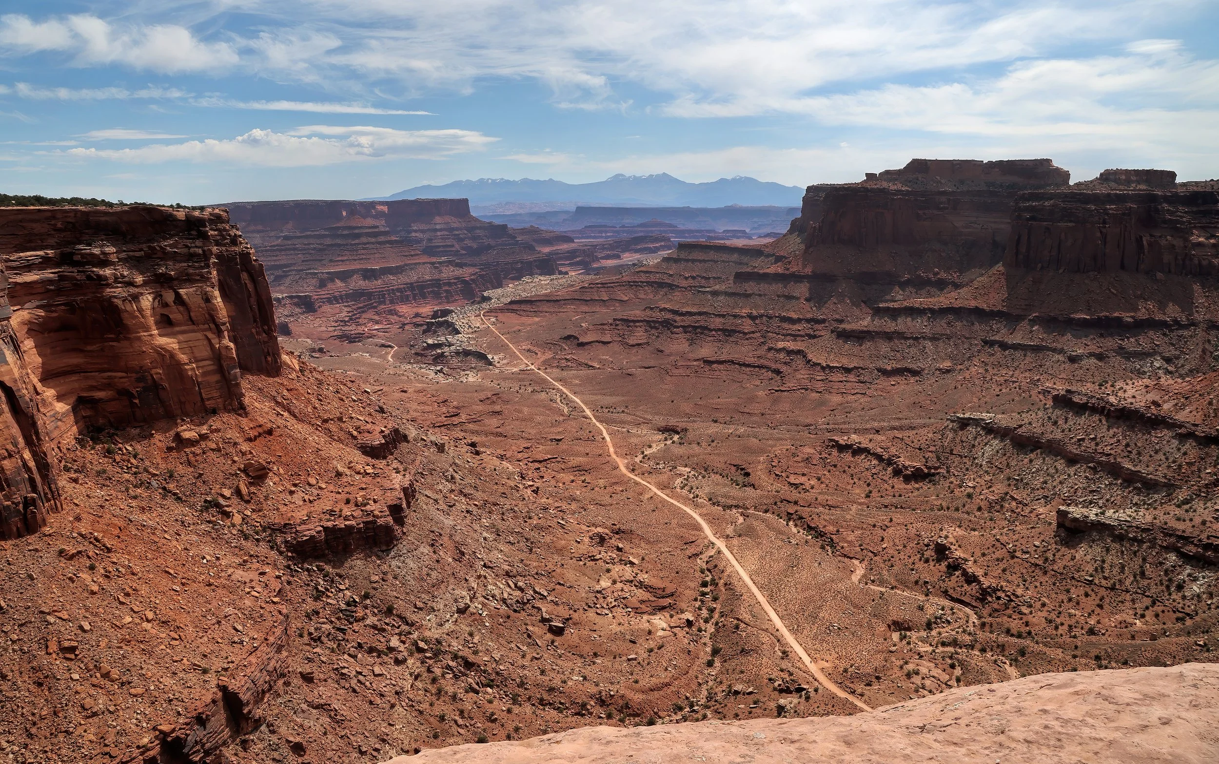
View from Island in the Sky down to the White Rim in the inner canyon with the La Sal Mountains on the distant horizon.
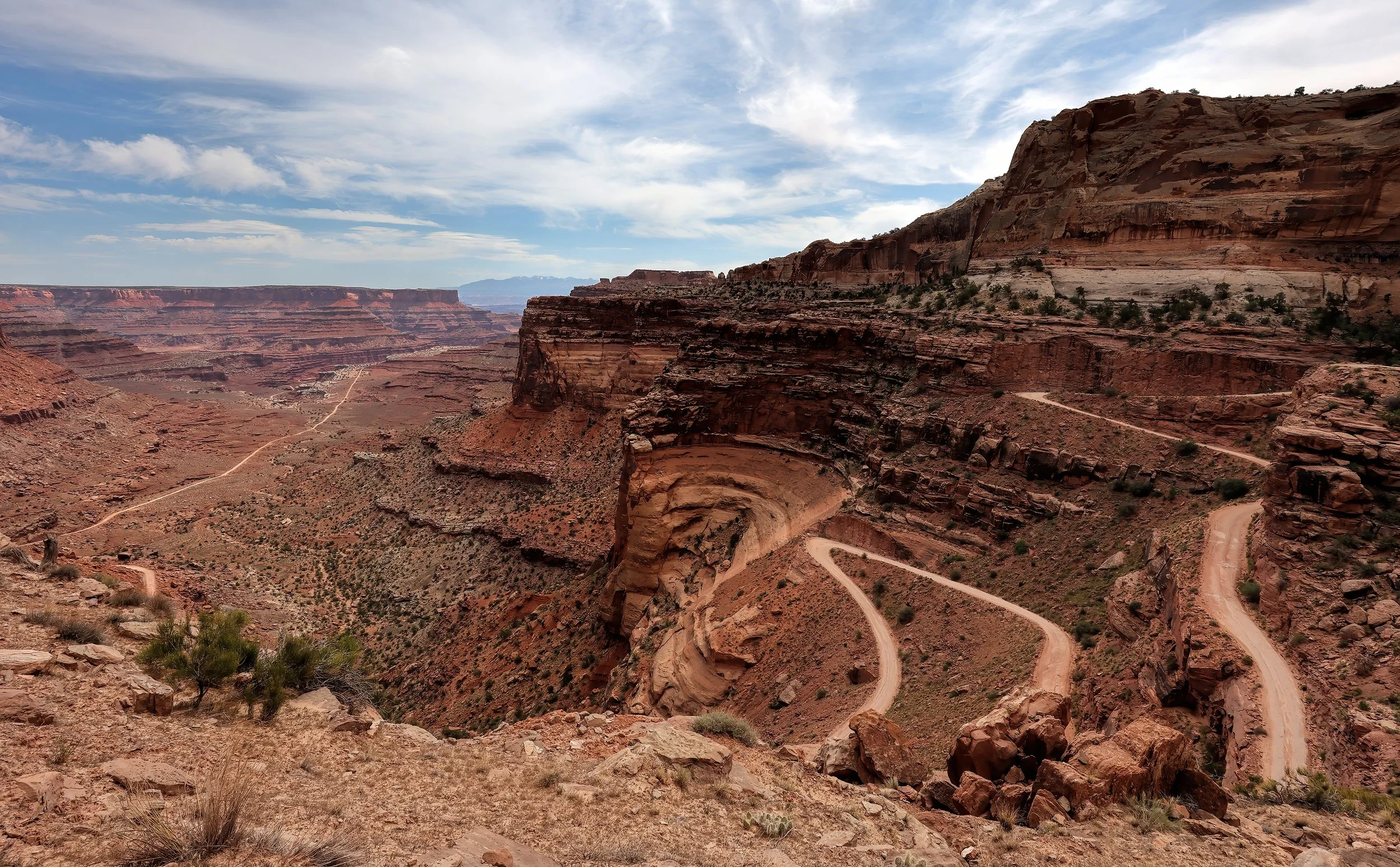
The Shafer Trail switchbacks descending onto the White Rim Trail.

The Colorado River is running about 2,000 cubic feet per second (cfs) right now where median discharge on this date is around 10,000 cfs.
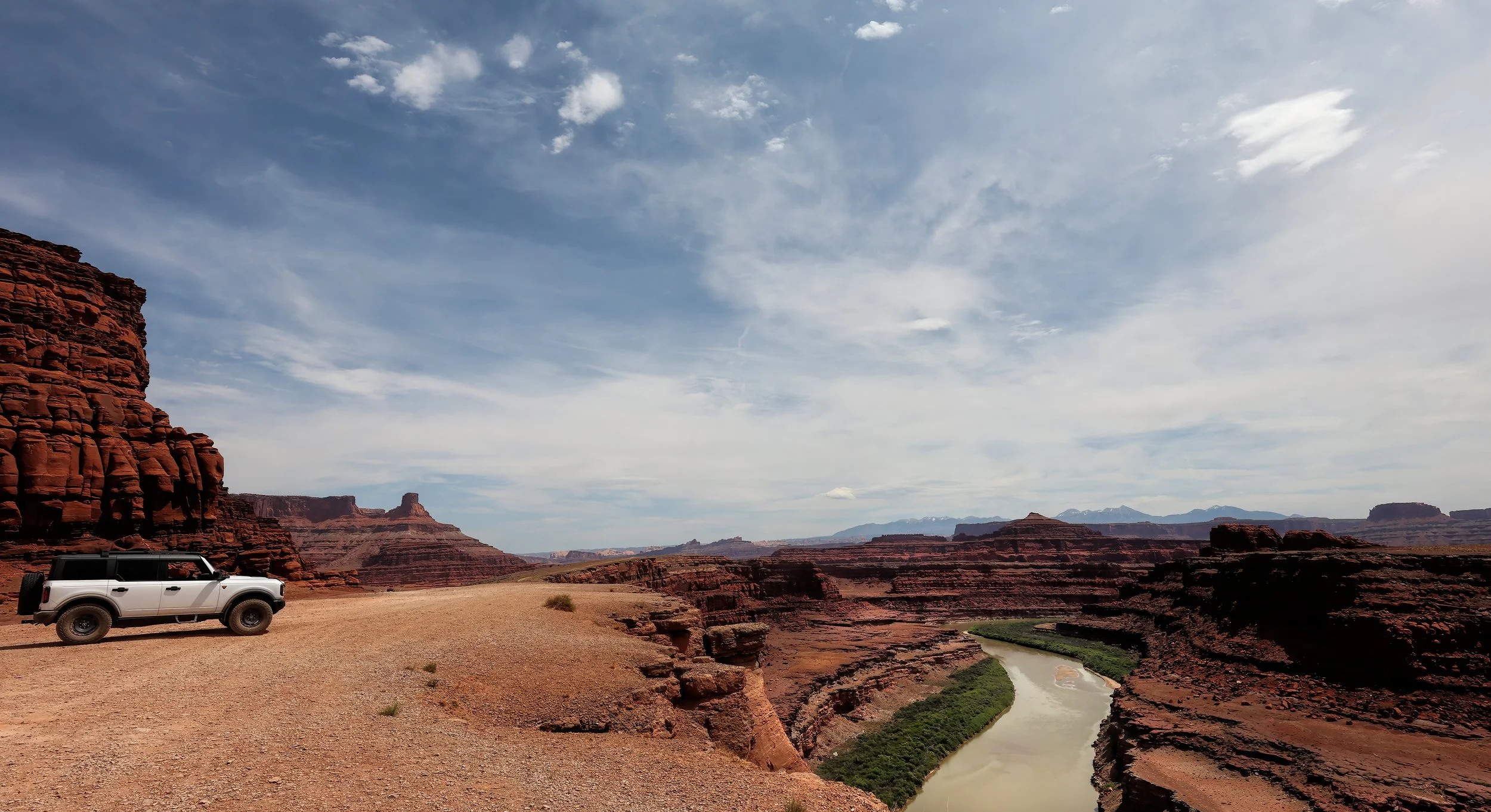
Thelma & Louise Point overlooking the Colorado River.
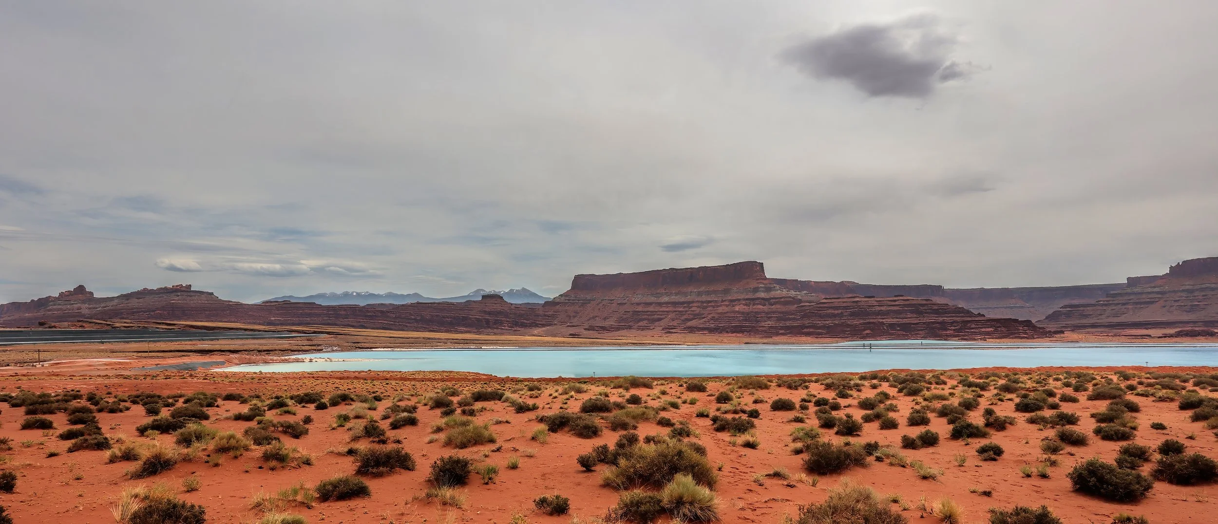
Potash evaporation ponds and the gently dipping red beds of the Cane Creek anticline (left of center).
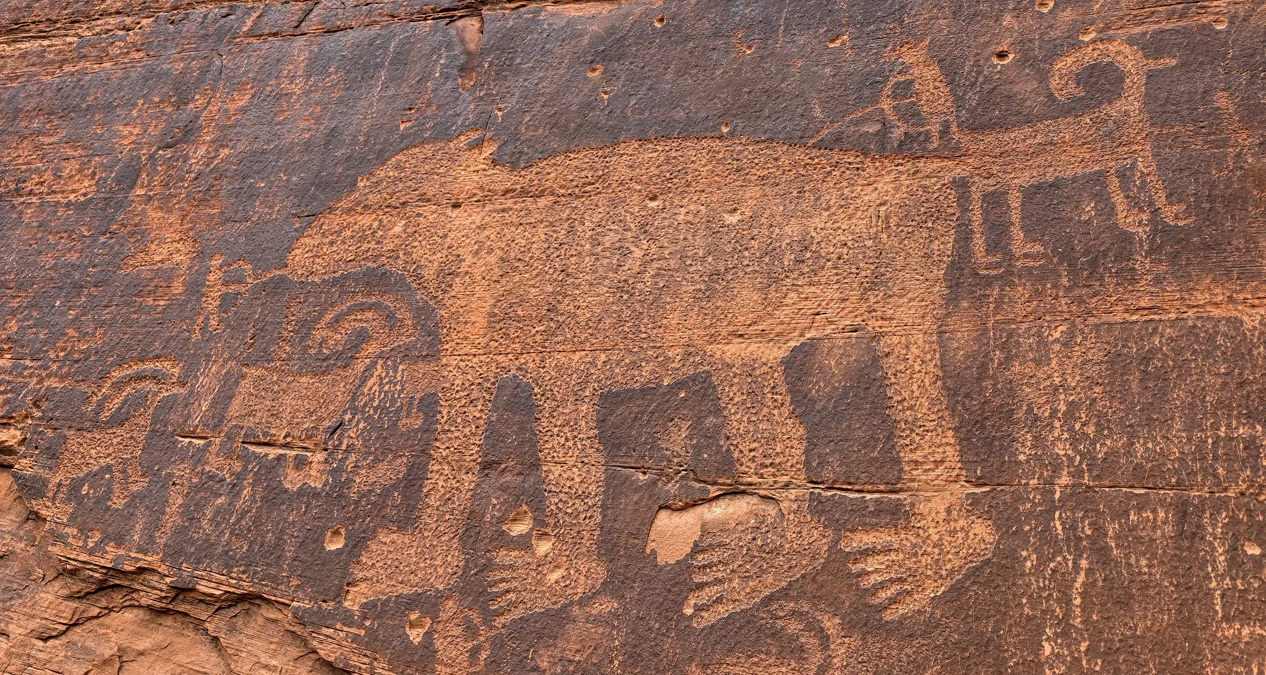
Petroglyph panel along Potash Road depicting a bighorn sheep hunt and bear encounter. The bear glyph is enormous and is more than three feet (1 m) across.