occurred last night so I mounted the Bronco and headed to the 4WD road crossing above its confluence with the Colorado River near Dewey Bridge. Indeed, the waterway was raging with fast moving turbid and turbulent water and driving the river crossing is impossible. The images show the river just below the peak discharge of 6,560 cfs as recorded by the USGS gaging station several miles upstream. For comparison, the spring runoff peak was only 414 cfs in April.
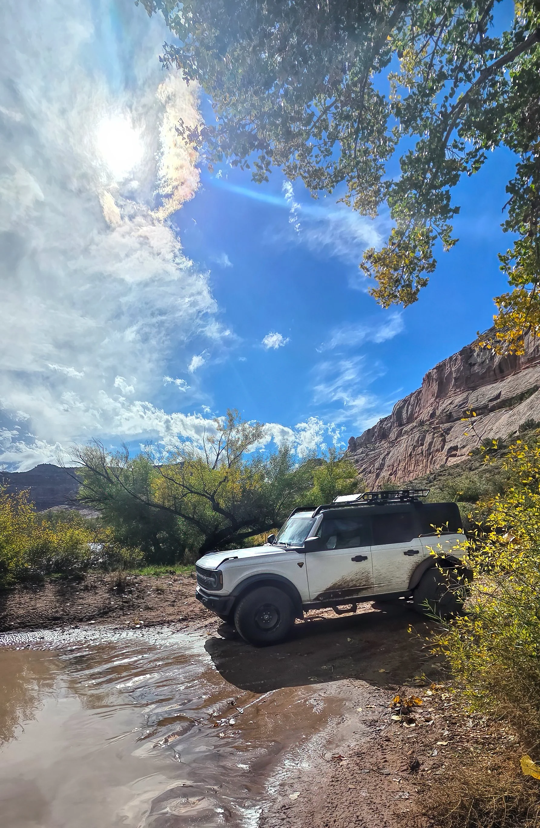
Bronco’s front tires are on the high water mark as the river is now slowly receding.
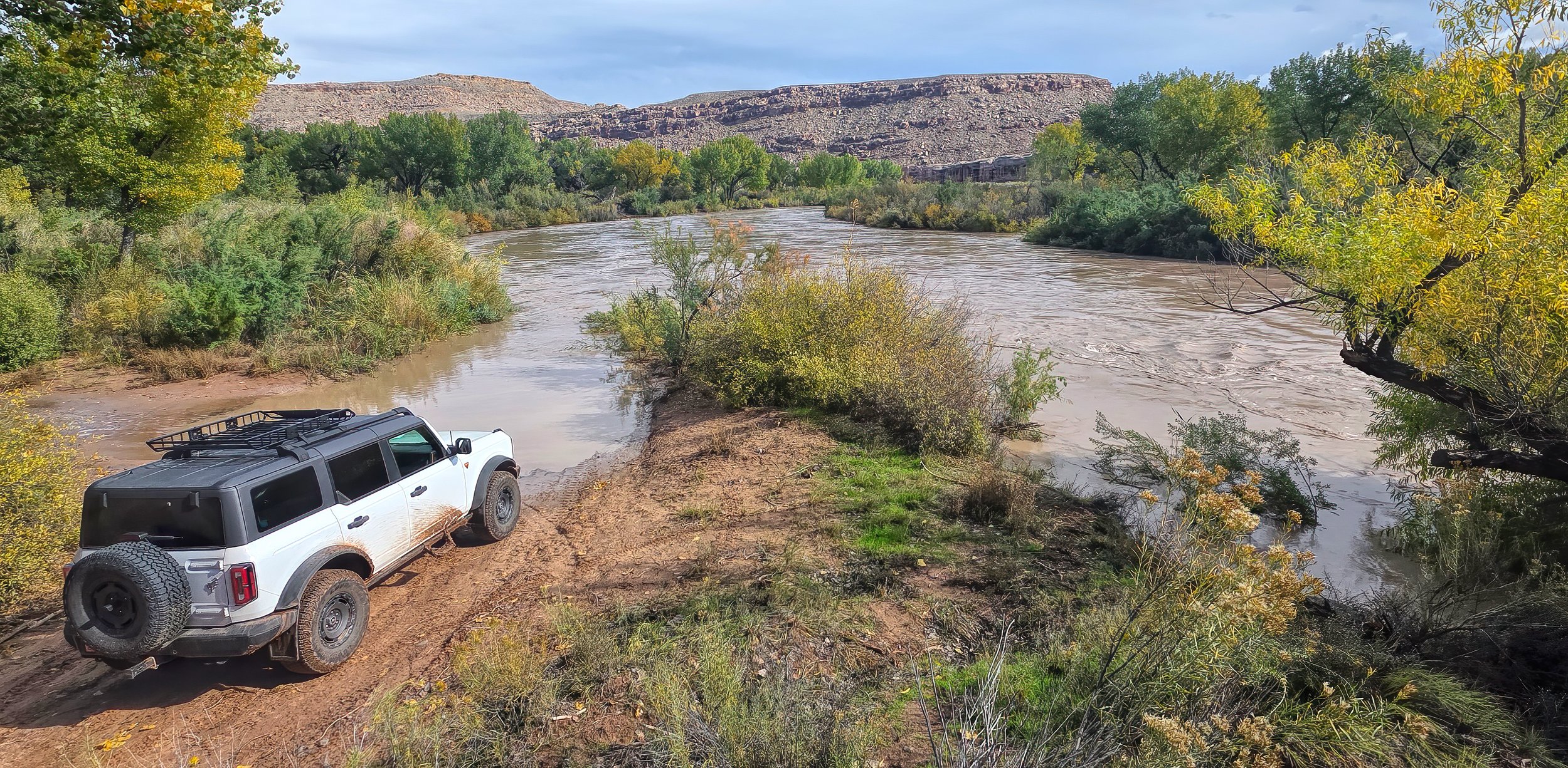
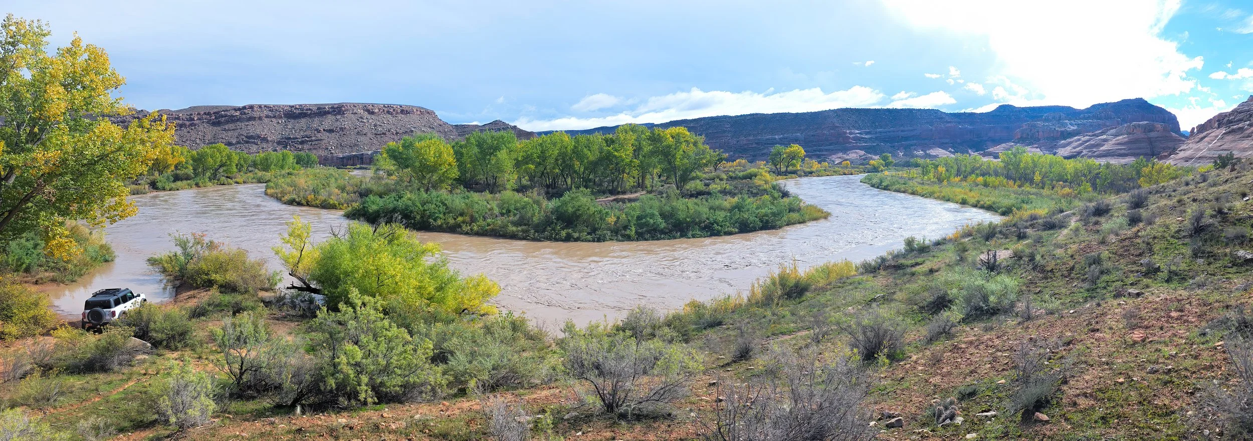
Look closely in the center of this wide image, across the river, and you can spy the continuation of the jeep road.