
On the aircraft, window seat (of course) taxiing at Spokane International Airport. Location is indicated by blue icon with red line indicating the track.
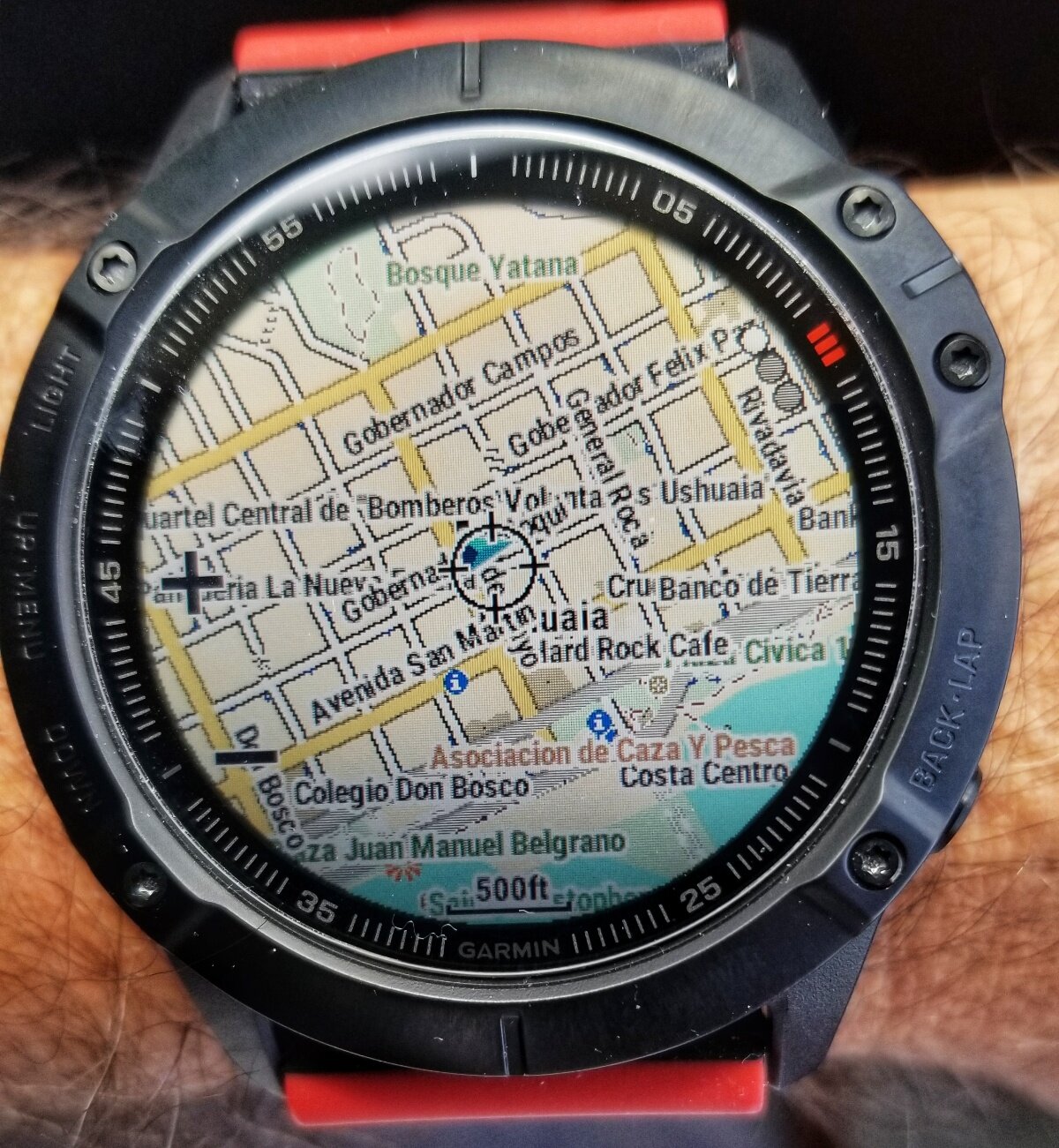
Detailed street map of Ushuaia, zoomed out here for a wide view, location indicated by the blue icon in center of display.
The Garmin FENIX 6X Pro is a very serious bit of technology that I am test driving for REI on this expedition. I have preloaded topographic maps for all of the western states at 1:24,000 scale, as well as nationwide coverage at 100,000 scale! In addition, I installed maps for Ushuaia, Argentina and Stanley, Falkland Islands, and it is capable of accessing Birdseye satellite images too. It links to your smartphone and Internet via Bluetooth and Wifi, but is capable of functioning for up to two weeks without connection or charging to other devices. WOW! And, oh yeah, it also tells the time (among many, many other things).